MyTopo
Stephen SW Minnesota US Topo Map
Couldn't load pickup availability
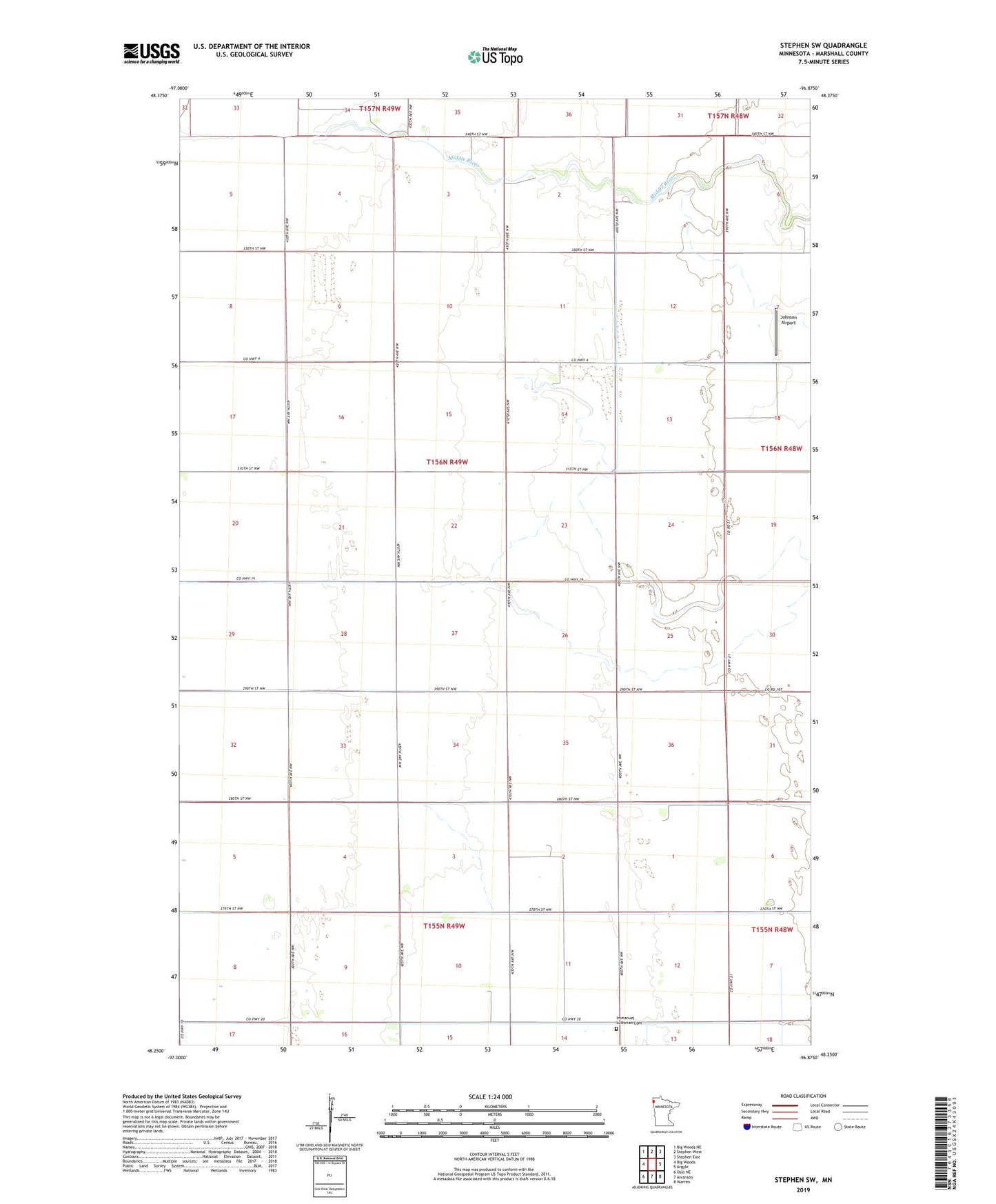
2022 topographic map quadrangle Stephen SW in the state of Minnesota. Scale: 1:24000. Based on the newly updated USGS 7.5' US Topo map series, this map is in the following counties: Marshall. The map contains contour data, water features, and other items you are used to seeing on USGS maps, but also has updated roads and other features. This is the next generation of topographic maps. Printed on high-quality waterproof paper with UV fade-resistant inks.
Quads adjacent to this one:
West: Big Woods
North: Stephen West
Northeast: Stephen East
East: Argyle
Southeast: Warren
South: Alvarado
Southwest: Oslo NE
This map covers the same area as the classic USGS quad with code o48096c8.
Contains the following named places: County Ditch Number Thirteen, County Ditch Number Three, Excelsior School, Gotland Post Office, Immanuel Church, Immanuel Lutheran Cemetery, Johnson Airport, LaVine School, Markwell School, Township of Bloomer