MyTopo
Argyle Minnesota US Topo Map
Couldn't load pickup availability
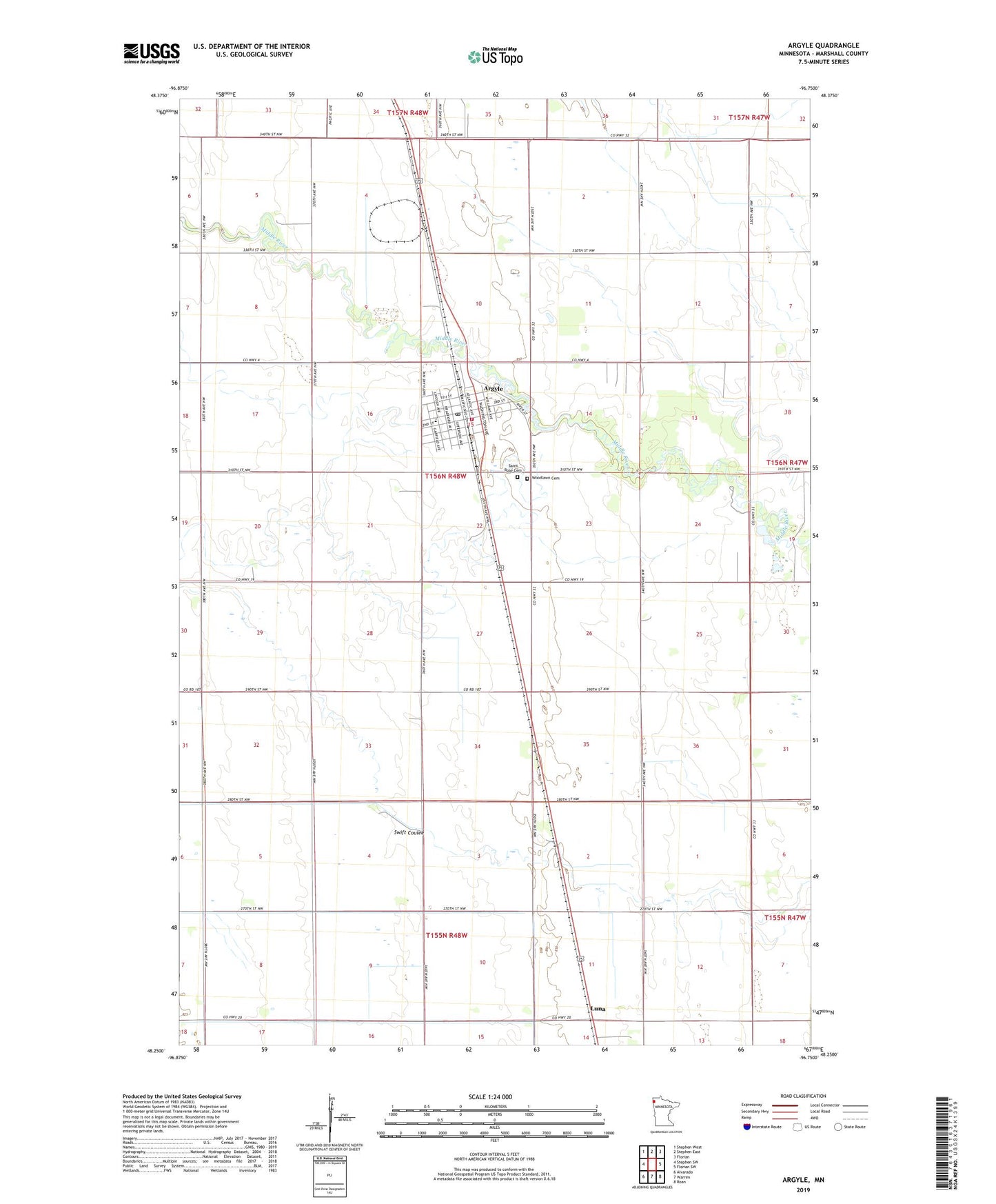
2022 topographic map quadrangle Argyle in the state of Minnesota. Scale: 1:24000. Based on the newly updated USGS 7.5' US Topo map series, this map is in the following counties: Marshall. The map contains contour data, water features, and other items you are used to seeing on USGS maps, but also has updated roads and other features. This is the next generation of topographic maps. Printed on high-quality waterproof paper with UV fade-resistant inks.
Quads adjacent to this one:
West: Stephen SW
Northwest: Stephen West
North: Stephen East
Northeast: Florian
East: Florian SW
Southeast: Roan
South: Warren
Southwest: Alvarado
This map covers the same area as the classic USGS quad with code o48096c7.
Contains the following named places: Argyle, Argyle Fire and Rescue Department, Argyle Post Office, Argyle Station, City of Argyle, Community Presbyterian Church, Cook School, Luna, Middle River Dam, Our Saviour's Lutheran Church, Saint Rose Cemetery, Saint Rose of Lima Catholic Church, Saint Rose School, Swift Coulee, Township of Middle River, Woodlawn Cemetery, ZIP Code: 56713