MyTopo
Tabor Minnesota US Topo Map
Couldn't load pickup availability
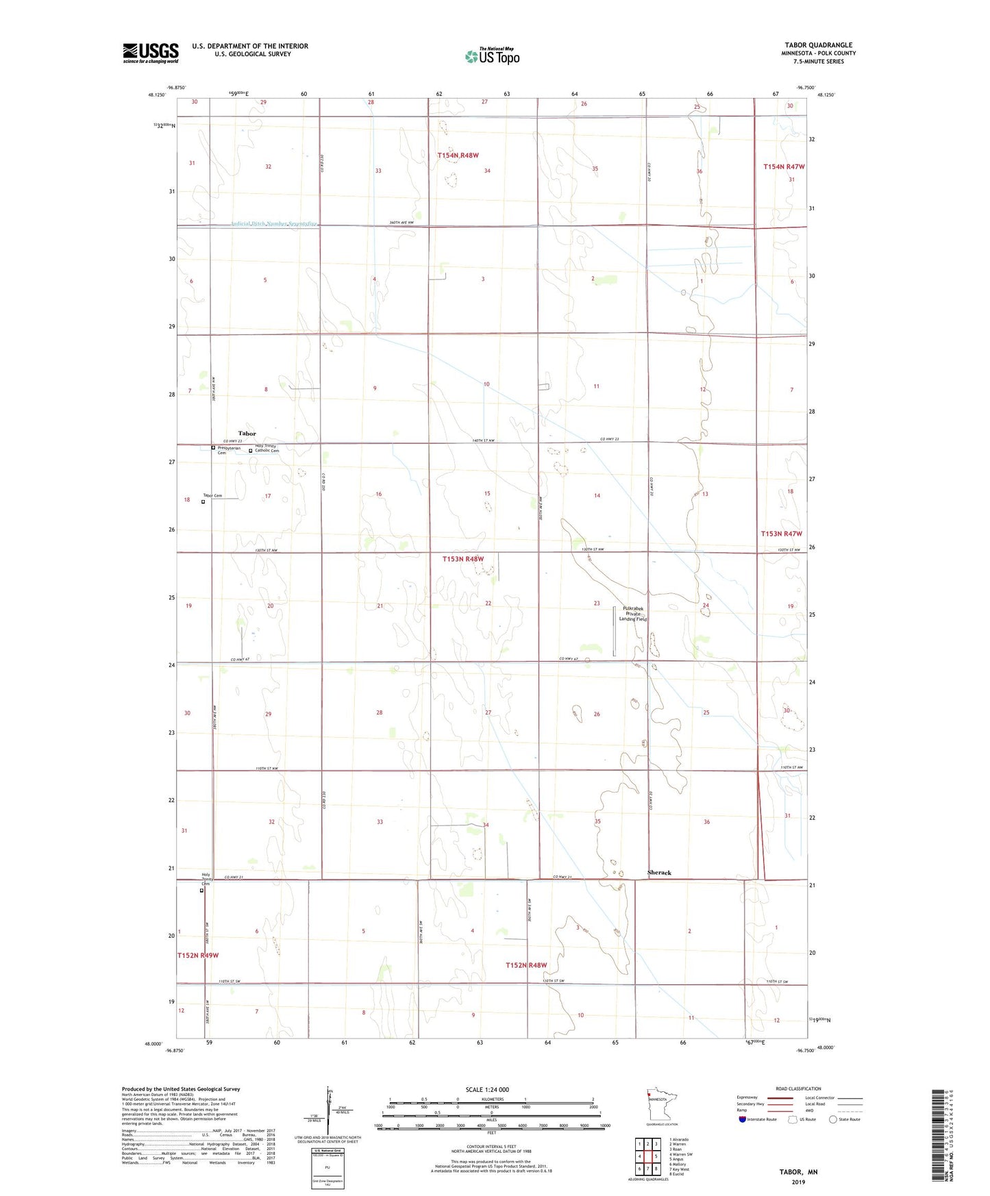
2022 topographic map quadrangle Tabor in the state of Minnesota. Scale: 1:24000. Based on the newly updated USGS 7.5' US Topo map series, this map is in the following counties: Polk. The map contains contour data, water features, and other items you are used to seeing on USGS maps, but also has updated roads and other features. This is the next generation of topographic maps. Printed on high-quality waterproof paper with UV fade-resistant inks.
Quads adjacent to this one:
West: Warren SW
Northwest: Alvarado
North: Warren
Northeast: Roan
East: Angus
Southeast: Euclid
South: Key West
Southwest: Mallory
This map covers the same area as the classic USGS quad with code o48096a7.
Contains the following named places: County Ditch Number Fortyfour, County Ditch Number Fortythree, County Ditch Number Sixtysix, County Ditch Number Thirtyfive, Excelsior School, Holy Trinity Catholic Cemetery, Holy Trinity Cemetery, Holy Trinity Church, Osveta Post Office, Presbyterian Cemetery, Pulkrabek Private Landing Field, Roadside School, Sherack, Sherack Post Office, Tabor, Tabor Cemetery, Tabor Post Office, Township of Tabor, Wilson School