MyTopo
Tamarack Minnesota US Topo Map
Couldn't load pickup availability
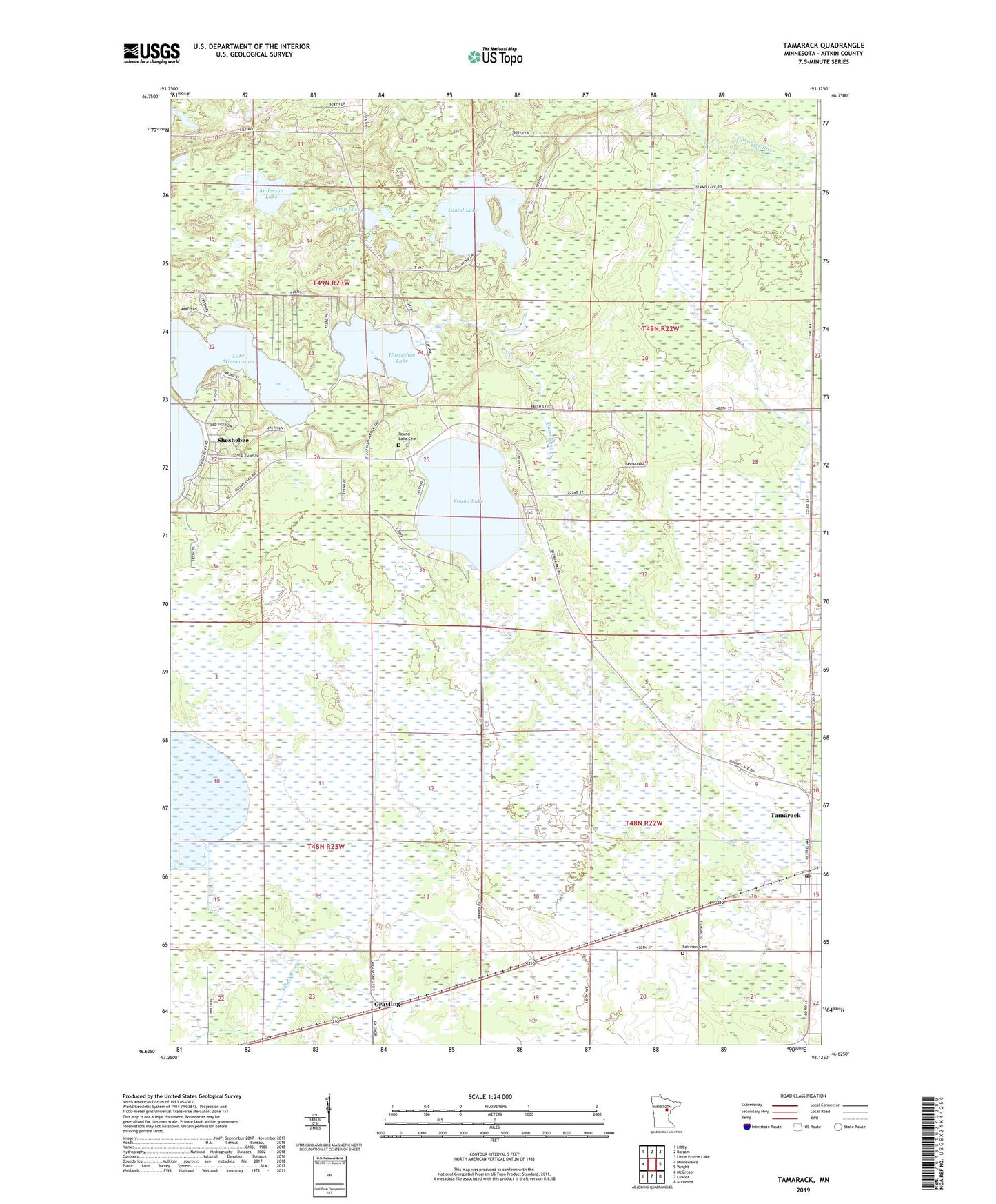
2019 topographic map quadrangle Tamarack in the state of Minnesota. Scale: 1:24000. Based on the newly updated USGS 7.5' US Topo map series, this map is in the following counties: Aitkin. The map contains contour data, water features, and other items you are used to seeing on USGS maps, but also has updated roads and other features. This is the next generation of topographic maps. Printed on high-quality waterproof paper with UV fade-resistant inks.
Quads adjacent to this one:
West: Minnewawa
Northwest: Libby
North: Balsam
Northeast: Little Prairie Lake
East: Wright
Southeast: Automba
South: Lawler
Southwest: McGregor
Contains the following named places: Anderson Lake, Camp Lake, Church of Christ, Fairview Cemetery, First Presbyterian Church, Grayling, Grayling Post Office, Grayling State Wildlife Management Area, Horseshoe Lake, Island Lake, Island Lake Creek, Kivi-Mokki Seaplane Base, Musselshell Creek, Round Lake, Round Lake Cemetery, Round Lake Church, Sheshebee, Sheshebee Post Office, Tamarack, Tamarack Post Office, Township of Clark, Township of Haugen, Whispering Pines Campground