MyTopo
Waukon Minnesota US Topo Map
Couldn't load pickup availability
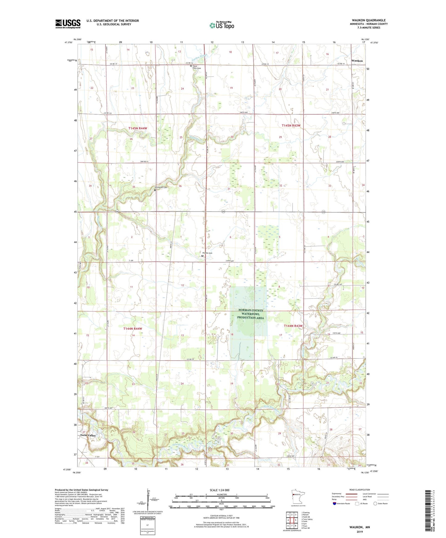
2022 topographic map quadrangle Waukon in the state of Minnesota. Scale: 1:24000. Based on the newly updated USGS 7.5' US Topo map series, this map is in the following counties: Norman. The map contains contour data, water features, and other items you are used to seeing on USGS maps, but also has updated roads and other features. This is the next generation of topographic maps. Printed on high-quality waterproof paper with UV fade-resistant inks.
Quads adjacent to this one:
West: Twin Valley
Northwest: Flaming
North: Ranum
Northeast: Faith NE
East: Faith
Southeast: Flom NE
South: Flom
Southwest: Syre
This map covers the same area as the classic USGS quad with code o47096c2.
Contains the following named places: County Ditch Number Seventyfive, Garden Slough, Habedank-Skaurud Multipurpose Structure Dam, Hlubek Cemetery, Immanuel Cemetery, Immanuel Church, Marsh Creek, Mashaug Creek Multiple Purpose Dam Number 3, Norman County Waterfowl Production Area, Saint Petri Cemetery, Saint Petri Church, Strand Post Office, Township of Fossum, Township of Waukon, Waukon, Waukon Post Office