MyTopo
West Duluth Minnesota US Topo Map
Couldn't load pickup availability
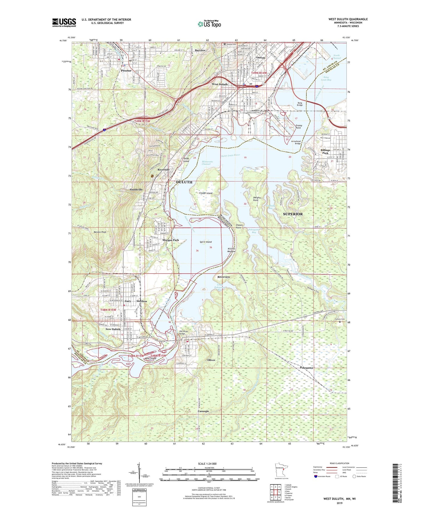
2022 topographic map quadrangle West Duluth in the states of Wisconsin, Minnesota. Scale: 1:24000. Based on the newly updated USGS 7.5' US Topo map series, this map is in the following counties: St. Louis, Douglas. The map contains contour data, water features, and other items you are used to seeing on USGS maps, but also has updated roads and other features. This is the next generation of topographic maps. Printed on high-quality waterproof paper with UV fade-resistant inks.
Quads adjacent to this one:
West: Esko
Northwest: Adolph
North: Duluth Heights
Northeast: Duluth
East: Superior
Southeast: Sunnyside
South: Borea
Southwest: Frogner
Contains the following named places: Abundant Life Tabernacle Church, Arrowhead Bridge, Asbury United Methodist Church, Bardon Peak, Bayview, Bear Island, Bethany Baptist Church, Bethany United Methodist Church, Bethlehem Lutheran Church, Billings Park, Birchwood Park, Bong Bridge, Calvary Cemetery, Carnegie, Chases Point, Christ Temple Apostolic Church, Christ the King Lutheran Church, City of Proctor, Clough Island, Denfeld High School, Duluth Bible Fellowship, Duluth Clinic-West, Duluth Fire Department - Station 8, Duluth Fire Department Station 10, Duluth Police Department - West Duluth Substation, Dwights Point, Elim Lutheran Church, Fairmount Park, Fairmount School, Forbes United Methodist Church, Foursquare Gospel Church, Gary, Gasser Park, Geology of Duluth Harbor Geological Marker, Gold Cross Ambulance - Duluth, Grassy Point, House of Hope Assembly of God Church, Immanuel Lutheran Church, Indian Park, Indian Point Campground, Indian Point Park, Irving Playfield, Irving School, KDAL-AM (Duluth), Keene Creek, Kilchlis Meadow, Kimballs Bay, Kingsbury Creek, Klang Memorial Park, Knowlton Creek, Lake Haven Manor, Lake Superior Zoo, Lake Superior Zoological Garden, Lakeshore Celebration Church, Lighthouse Bible Baptist Church, Little Pokegama Bay, Little Pokegama River, Living Faith Christian Center, MacArthur West Elementary School, Minnesota Channel, Minnesotas Seaport Historical Marker, Morgan Park, Morgan Park Junior High School, Mud Lake, New Duluth, New Duluth Post Office, New Duluth Scenic Overlook, New Duluth Station, Norton Park, Norton Park United Methodist Church, Old Oliver Bridge, Oliver, Oneota, Oneota Cemetery, Oneota Post Office, Oneota Station, Our Savior's Evangelical Lutheran Church, Pleasant View Mobile Home Park, Pokegama, Pokegama Bay, Pokegama River, Proctor, Proctor Area Historical Museum, Proctor City Hall, Proctor Fire Department, Proctor Golf Course, Proctor Junior High/Intermediate School, Proctor Police Department, Proctor Post Office, Proctor Senior High School, Proctor Station, Red River, Redeemer Lutheran Church, Riverside, Riverview, Riverview United Methodist Church, Saint Elizabeth's Church, Saint George Serbian Orthodox Church, Saint James Catholic Church, Saint Josephs Hospital, Saint Louis River, Saint Margaret Mary Church, Saint Mary the Theotokos Church, Saint Patricks Roman Catholic Church, Saint Patricks School, Saint Rose Catholic Church, Saint Rose School, Salem Covenant Church, Sargent Creek, Smithville, Smithville Post Office, Smithville Station, Snively Park, Spirit Island, Spirit Lake, Spirit Mountain Campground, Spirit Mountain Recreation Area, Steelton, Stewart Creek, Stowe School, Superior Health Medical Group, Tallas Island, Thompson Hill Travel Information Center, Town of Superior Fire and Rescue Station 2, Village of Oliver, WDSM-AM (Superior), West Duluth, West Duluth Post Office, Westminster Presbyterian Church, WWJC-AM (Duluth), Zenith Terrace, ZIP Codes: 55807, 55808


