MyTopo
Wintermute Lake Minnesota US Topo Map
Couldn't load pickup availability
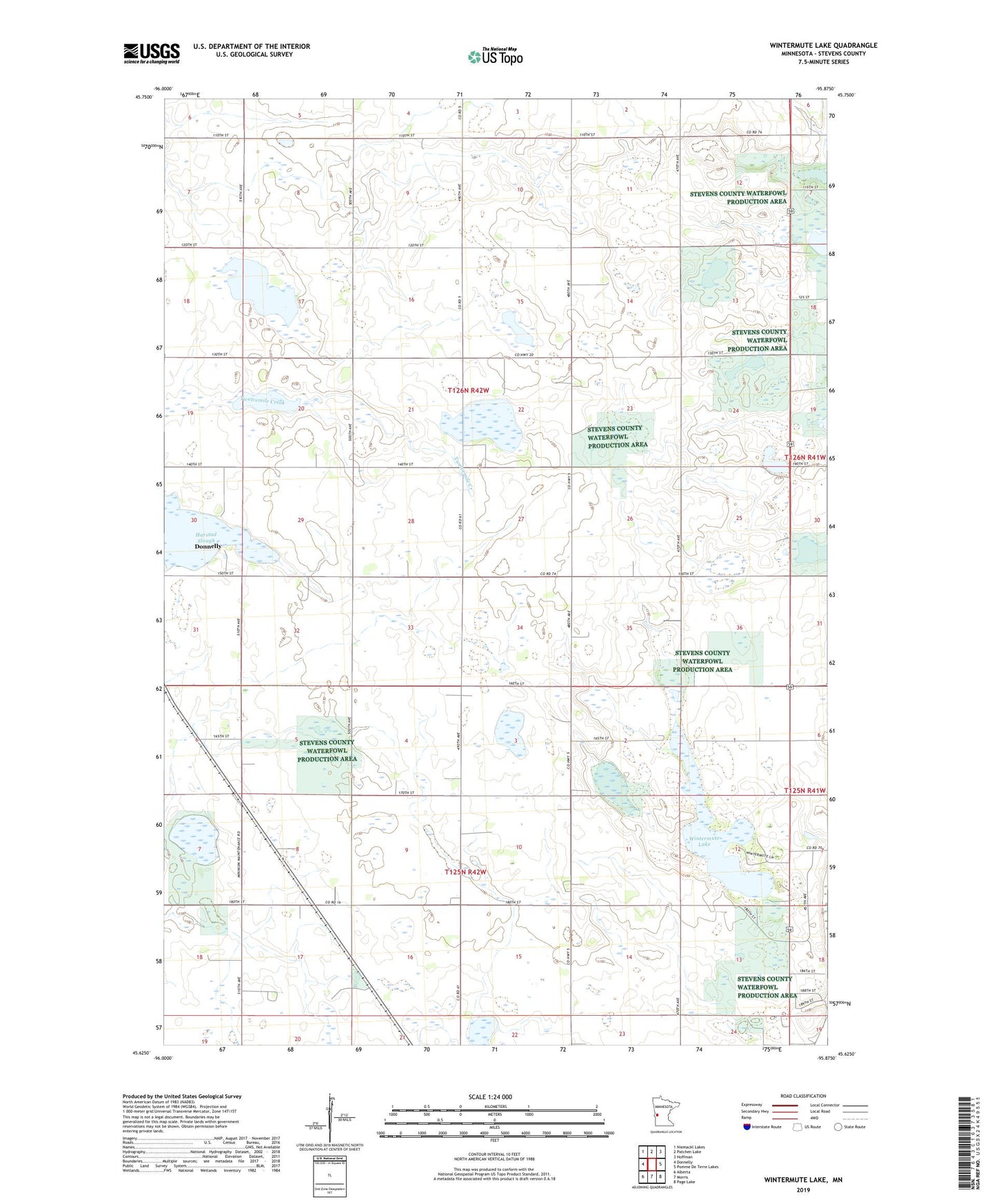
2022 topographic map quadrangle Wintermute Lake in the state of Minnesota. Scale: 1:24000. Based on the newly updated USGS 7.5' US Topo map series, this map is in the following counties: Stevens. The map contains contour data, water features, and other items you are used to seeing on USGS maps, but also has updated roads and other features. This is the next generation of topographic maps. Printed on high-quality waterproof paper with UV fade-resistant inks.
Quads adjacent to this one:
West: Donnelly
Northwest: Niemackl Lakes
North: Patchen Lake
Northeast: Hoffman
East: Pomme De Terre Lakes
Southeast: Page Lake
South: Morris
Southwest: Alberta
This map covers the same area as the classic USGS quad with code o45095f8.
Contains the following named places: Harstad Slough, School Number 33, School Number 36, School Number 39, School Number 4, Township of Morris, Township of Rendsville, Wintermute Lake