MyTopo
Barge Lake Mississippi US Topo Map
Couldn't load pickup availability
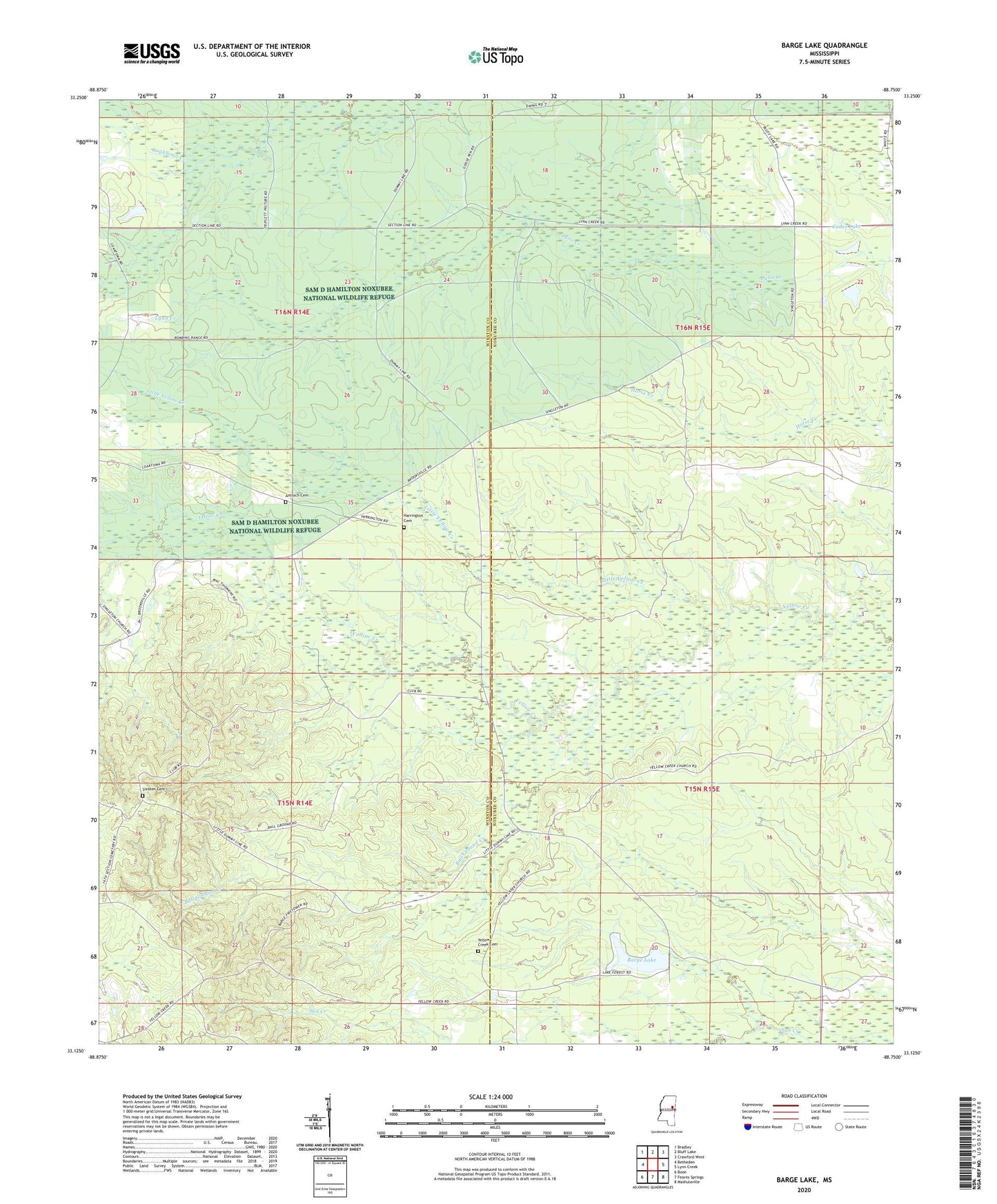
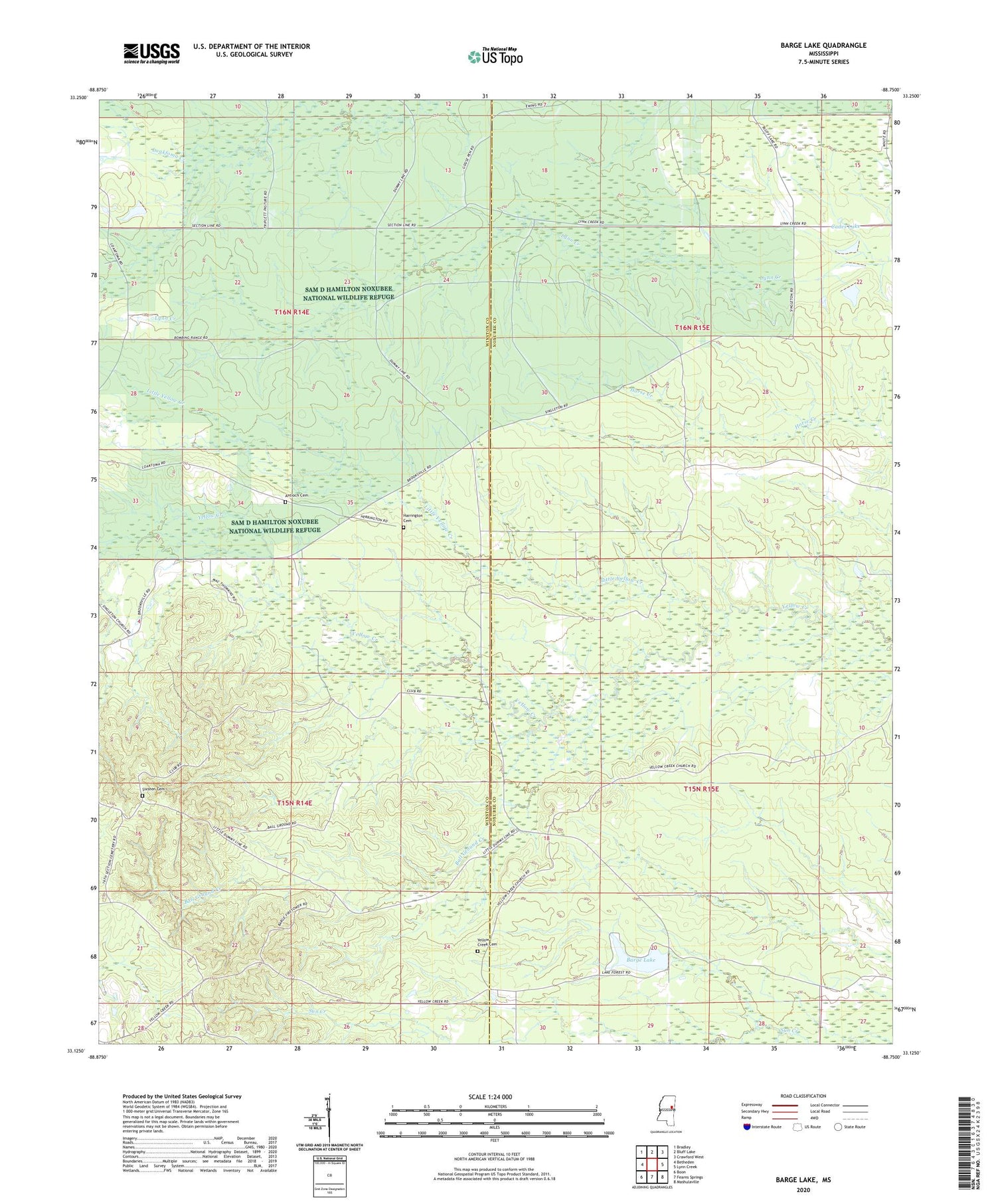
2024 topographic map quadrangle Barge Lake in the state of Mississippi. Scale: 1:24000. Based on the newly updated USGS 7.5' US Topo map series, this map is in the following counties: Winston, Noxubee. The map contains contour data, water features, and other items you are used to seeing on USGS maps, but also has updated roads and other features. This is the next generation of topographic maps. Printed on high-quality waterproof paper with UV fade-resistant inks.
Quads adjacent to this one:
West: Betheden
Northwest: Bradley
North: Bluff Lake
Northeast: Crawford West
East: Lynn Creek
Southeast: Mashulaville
South: Fearns Springs
Southwest: Boon
This map covers the same area as the classic USGS quad with code o33088b7.
Contains the following named places: Antioch Cemetery, Antioch Church, Ball Ground Creek, Barge Lake, Barge Lookout Tower, Cades Lake, Farewells, Flatwoods School, Harrington Cemetery, Lake Forest Ranch Camp, Lake Forrest Dam, Little Yellow Creek, Lonely Valley Church, Mitchells Church, Sam D Hamilton Noxubee National Wildlife Refuge, Singleton, Sixteen Cemetery, Triplett Lake Dam, Yellow Creek Cemetery, Yellow Creek Church