MyTopo
Crawford West Mississippi US Topo Map
Couldn't load pickup availability
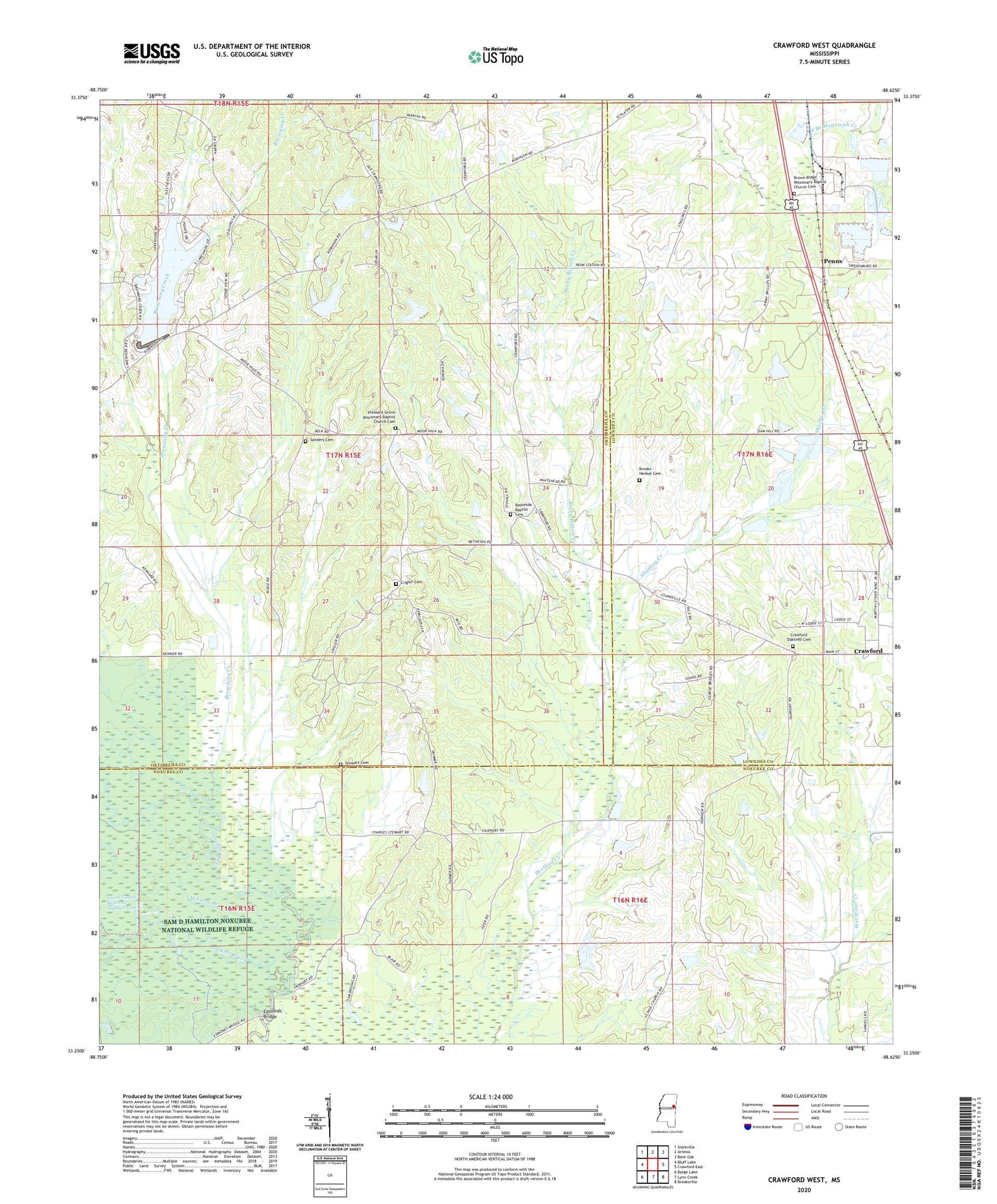
2024 topographic map quadrangle Crawford West in the state of Mississippi. Scale: 1:24000. Based on the newly updated USGS 7.5' US Topo map series, this map is in the following counties: Oktibbeha, Noxubee, Lowndes. The map contains contour data, water features, and other items you are used to seeing on USGS maps, but also has updated roads and other features. This is the next generation of topographic maps. Printed on high-quality waterproof paper with UV fade-resistant inks.
Quads adjacent to this one:
West: Bluff Lake
Northwest: Starkville
North: Artesia
Northeast: Bent Oak
East: Crawford East
Southeast: Brooksville
South: Lynn Creek
Southwest: Barge Lake
This map covers the same area as the classic USGS quad with code o33088c6.
Contains the following named places: Agency, Atkinson Lake Dam, B L Moor High School, Baysenburgs Lake Dam, Bethesda, Bethesda Baptist Cemetery, Bethesda Baptist Church, Brooks - Henkel Cemetery, Brown Chapel, Brown Ridge Church, Browning Creek, Crawford Attendance Center, Crawford Oaklimb Cemetery, Crigler Cemetery, Edmonds Bridge, Fairport, Gray Lake Dam, Green Timber Reservoir Number Two, Loakfoma Creek, Maxie Lake Dam, Minnow Branch, Oktoc Creek, Parish Lake Dam, Penns, Pleasant Grove Baptist Church, Pleasant Grove School, Ratliff Lake Dam, Rocky Bottom Creek, Sanders Cemetery, Seitz Lake Dam, Shotbag School, Stewart Cemetery, Town of Crawford, Union Chapel