MyTopo
Bond Mississippi US Topo Map
Couldn't load pickup availability
Also explore the Bond Forest Service Topo of this same quad for updated USFS data
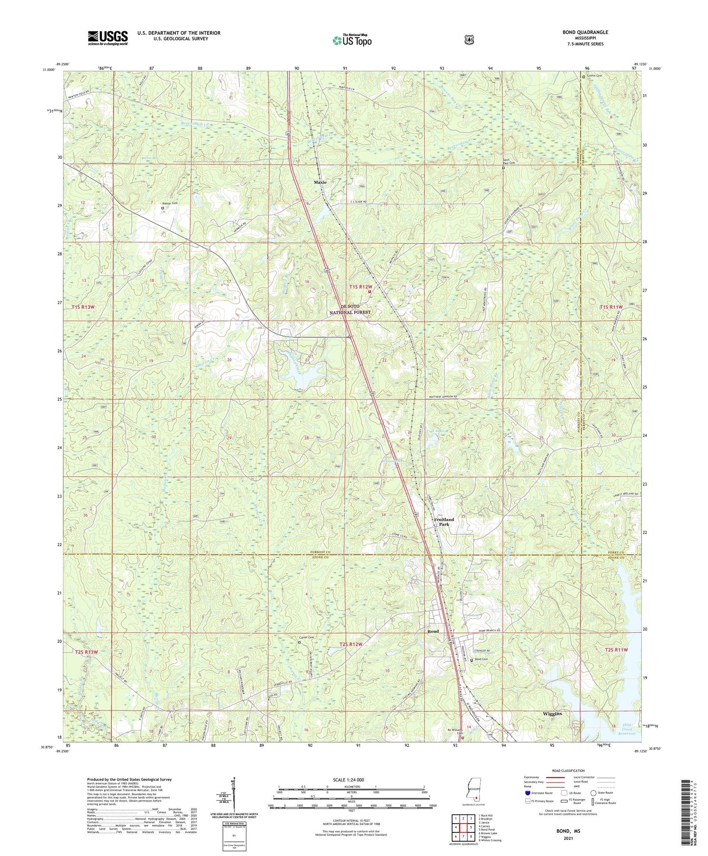
2024 topographic map quadrangle Bond in the state of Mississippi. Scale: 1:24000. Based on the newly updated USGS 7.5' US Topo map series, this map is in the following counties: Forrest, Stone, Perry. The map contains contour data, water features, and other items you are used to seeing on USGS maps, but also has updated roads and other features. This is the next generation of topographic maps. Printed on high-quality waterproof paper with UV fade-resistant inks.
Quads adjacent to this one:
West: Carnes
Northwest: Rock Hill
North: Brooklyn
Northeast: Janice
East: Bond Pond
Southeast: Whites Crossing
South: Wiggins
Southwest: Browns Lake
This map covers the same area as the classic USGS quad with code o30089h2.
Contains the following named places: Ball, Batson Bay, Batson Cemetery, Bo Williams Cemetery, Bond, Bond Baptist Church, Bond Census Designated Place, Bowens Bay Creek, Browns Creek, Camp Hi Kana, Camp Tiak, Carnes, Carnes Volunteer Fire Department Station 2, Chaney Creek, Cotton Ridge Church, Cross Roads Church, David, Double Branch, Flint Creek Reservoir, Flint Creek Water Park, Forrest Maxie School, Fruitland Park, Griffin Cemetery, Hogpen Branch, Inez, Larry Armstrong Lake Dam, Lawrence Armstrong Lake Dam, Maxie, Maxie Fire Tower, Maxie Gas Field, Nelson Creek, Saddler Lake Dam, Saint Paul Cemetery, Saint Paul Church, Supervisor District 1, Tiak Dam, Tiak Lake, Wentworth, White Pond, White Pond Creek, White Pond Dam