MyTopo
Bond Pond Mississippi US Topo Map
Couldn't load pickup availability
Also explore the Bond Pond Forest Service Topo of this same quad for updated USFS data
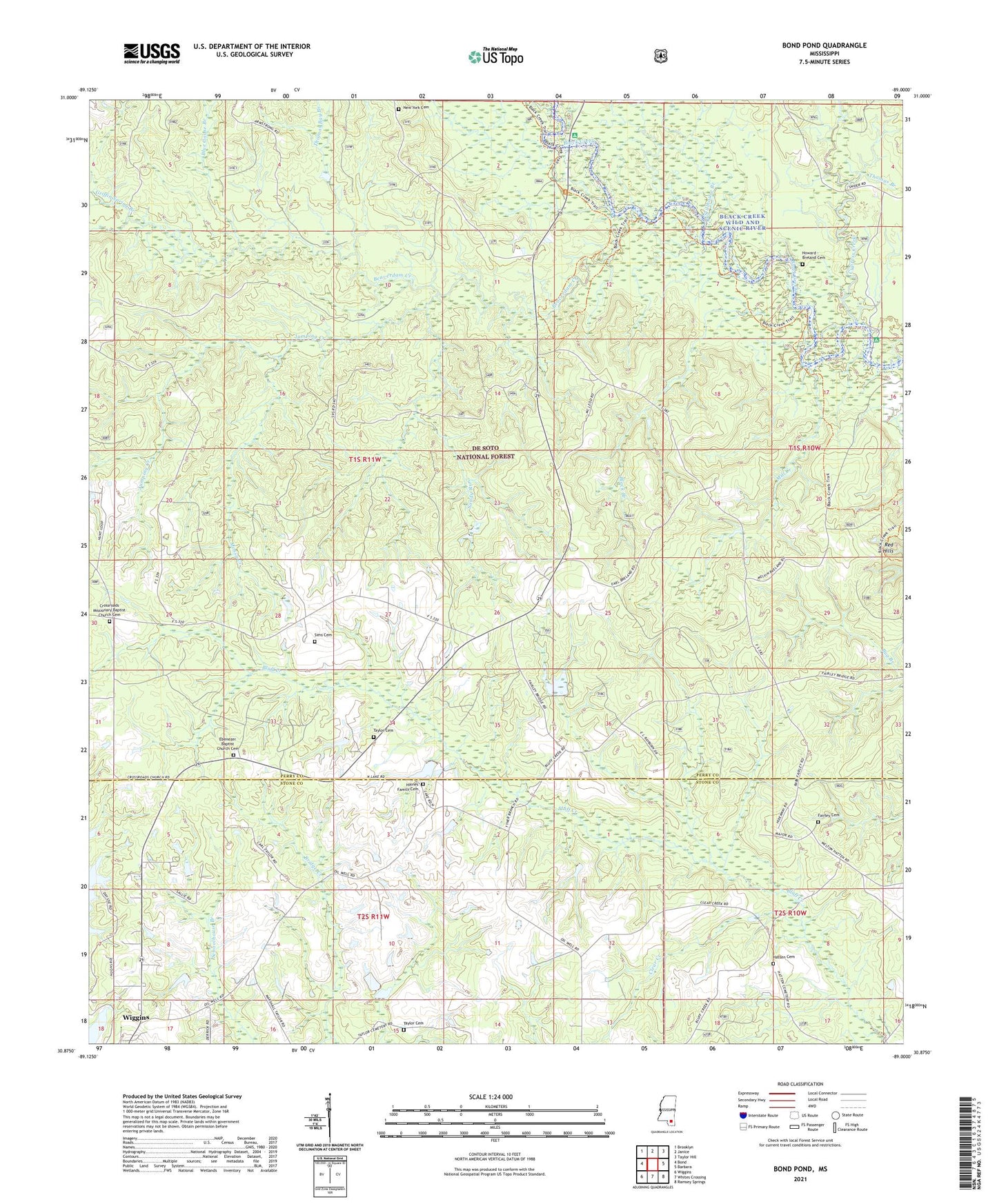
2024 topographic map quadrangle Bond Pond in the state of Mississippi. Scale: 1:24000. Based on the newly updated USGS 7.5' US Topo map series, this map is in the following counties: Perry, Stone. The map contains contour data, water features, and other items you are used to seeing on USGS maps, but also has updated roads and other features. This is the next generation of topographic maps. Printed on high-quality waterproof paper with UV fade-resistant inks.
Quads adjacent to this one:
West: Bond
Northwest: Brooklyn
North: Janice
Northeast: Taylor Hill
East: Barbara
Southeast: Ramsey Springs
South: Whites Crossing
Southwest: Wiggins
This map covers the same area as the classic USGS quad with code o30089h1.
Contains the following named places: Amanda Chapel Baptist Church, Andrews Chapel, Beaverdam Creek, Black Branch, Black Creek Wild and Scenic River, Black Creek Wilderness, Blue Goose Branch, Bluff Creek School, Bond Pond, Clear Creek, Cypress Creek, Cypress Creek Landing, Cypress Creek Landing Recreation Site, Ebenezer Church, Fairley Cemetery, Griffin Spring Branch, Haynes Lake Dam, Howard - Breland Cemetery, Janice Landing Recreation Site, Jumping Creek, Mill Creek, Mossy Creek, New Covenant Assembly of God Church, New York Cemetery, New York School, Pleasant Hill Church, Prescott Lake Dam, Red Hills, Sandy Run, Sims Cemetery, Stillhouse Branch, Taylor Cemetery, Thomas Bay Branch, Thomas Branch, ZIP Code: 39577