MyTopo
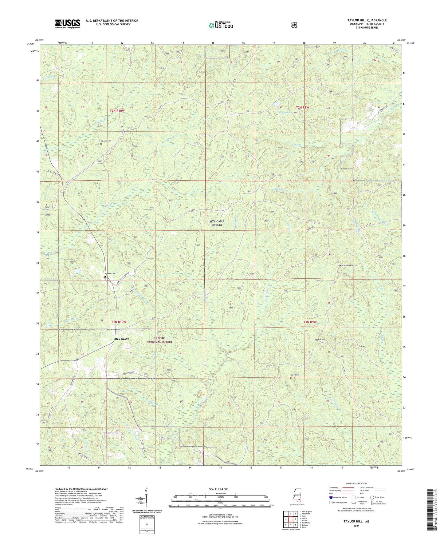
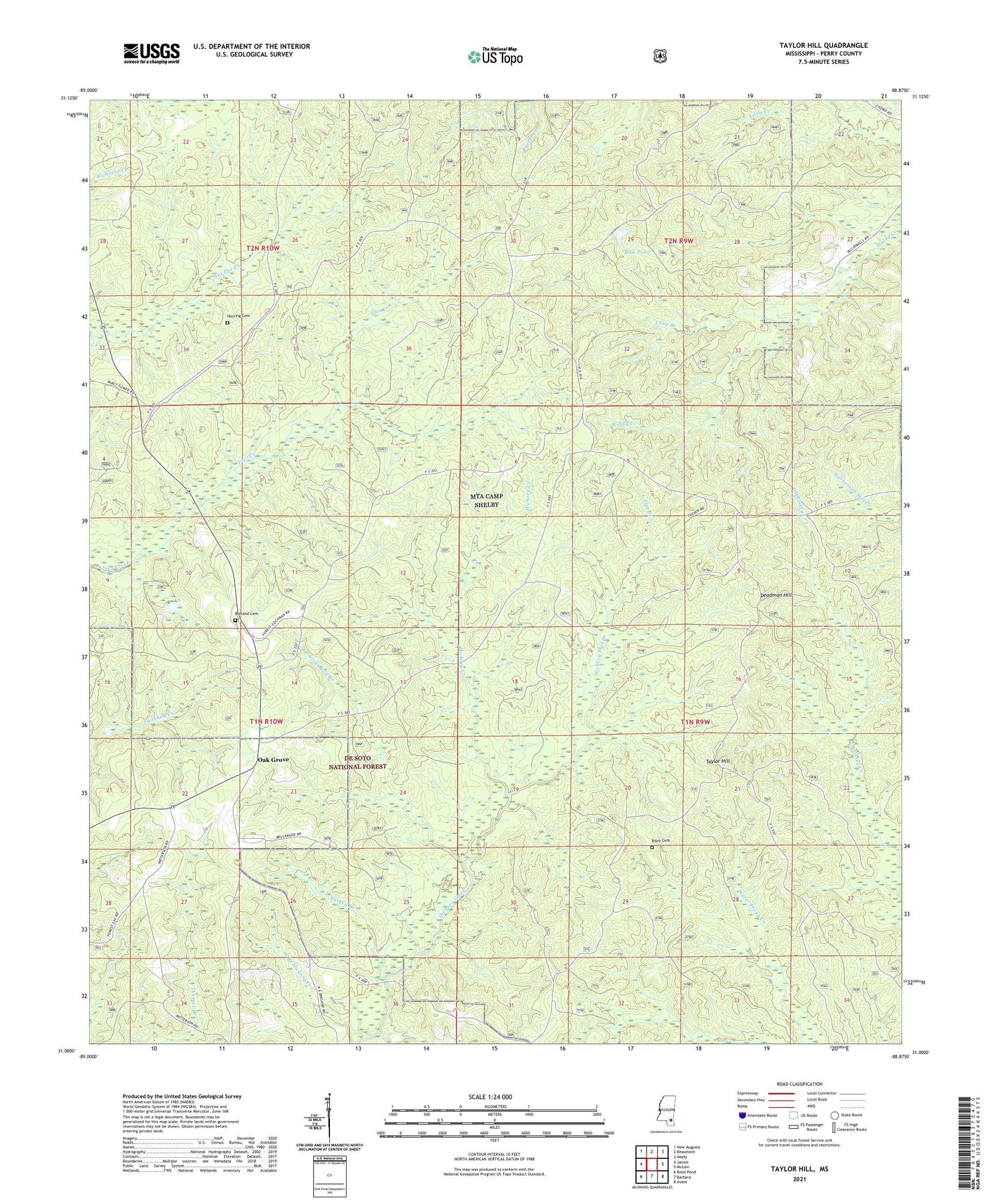
Taylor Hill Mississippi US Topo Map
Couldn't load pickup availability
Also explore the Taylor Hill Forest Service Topo of this same quad for updated USFS data
2024 topographic map quadrangle Taylor Hill in the state of Mississippi. Scale: 1:24000. Based on the newly updated USGS 7.5' US Topo map series, this map is in the following counties: Perry. The map contains contour data, water features, and other items you are used to seeing on USGS maps, but also has updated roads and other features. This is the next generation of topographic maps. Printed on high-quality waterproof paper with UV fade-resistant inks.
Quads adjacent to this one:
West: Janice
Northwest: New Augusta
North: Beaumont
Northeast: Neely
East: McLain
Southeast: Avent
South: Barbara
Southwest: Bond Pond
This map covers the same area as the classic USGS quad with code o31088a8.
Contains the following named places: Blue Pond, Breland Cemetery, Cypress Creek Church, De Soto National Forest, Deadman Hill, Erambert Seed Orchard, Flat Branch, Herring Cemetery, Hickory Flat Branch, Leaf River State Wildlife Management Area, Long Branch, Oak Grove, Oak Grove School, Ray Green Farm, Riley Cemetery, Silver Run Branch, Taylor Hill, Turkey Branch, West Branch Hickory Creek