MyTopo
Cane Bayou Mississippi US Topo Map
Couldn't load pickup availability
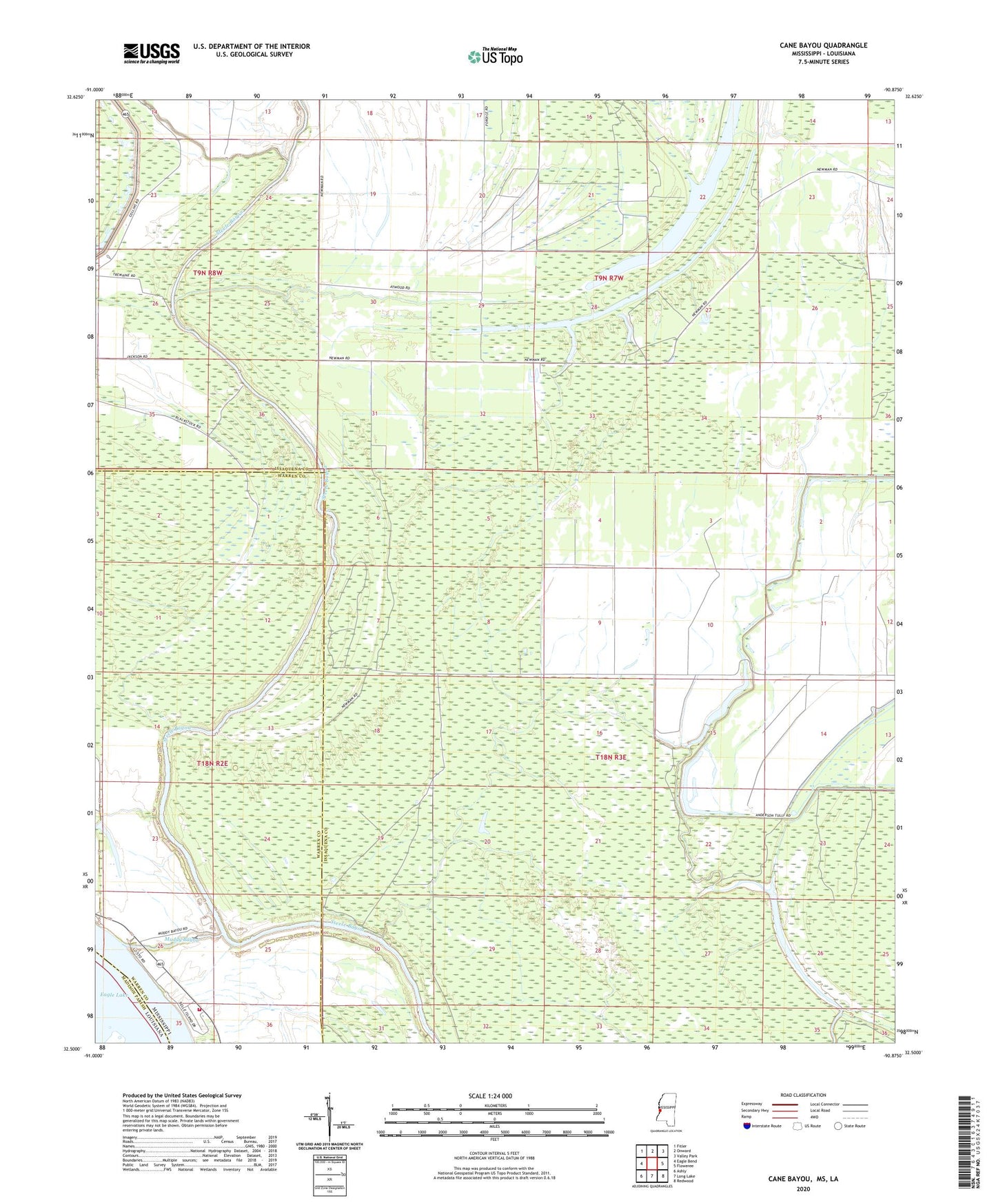
2024 topographic map quadrangle Cane Bayou in the states of Louisiana, Mississippi. Scale: 1:24000. Based on the newly updated USGS 7.5' US Topo map series, this map is in the following counties: Issaquena, Warren, Madison. The map contains contour data, water features, and other items you are used to seeing on USGS maps, but also has updated roads and other features. This is the next generation of topographic maps. Printed on high-quality waterproof paper with UV fade-resistant inks.
Quads adjacent to this one:
West: Eagle Bend
Northwest: Fitler
North: Onward
Northeast: Valley Park
East: Floweree
Southeast: Redwood
South: Long Lake
Southwest: Ashly
This map covers the same area as the classic USGS quad with code o32090e8.
Contains the following named places: Australia Island Number Onehundred and One, Cane Bayou, Cypress Lake, Eagle Lake Volunteer Fire Department, King Solomon Church, Muddy Bayou, Supervisor District 1, Willow Bayou