MyTopo
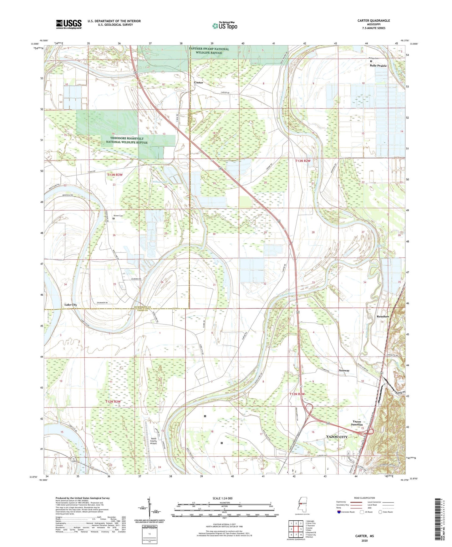
Carter Mississippi US Topo Map
Couldn't load pickup availability
2024 topographic map quadrangle Carter in the state of Mississippi. Scale: 1:24000. Based on the newly updated USGS 7.5' US Topo map series, this map is in the following counties: Yazoo, Humphreys. The map contains contour data, water features, and other items you are used to seeing on USGS maps, but also has updated roads and other features. This is the next generation of topographic maps. Printed on high-quality waterproof paper with UV fade-resistant inks.
Quads adjacent to this one:
West: Louise
Northwest: Midnight
North: Silver City
Northeast: Thornton
East: Eden
Southeast: Benton
South: Yazoo City
Southwest: Bayland SE
This map covers the same area as the classic USGS quad with code o32090h4.
Contains the following named places: Altons Landing, Antioch Church, Ashwood Landing, Beech Grove Landing, Belle Prairie, Bethel Church, Boston Place Landing, Boston Plantation, Broad Lake, Brown Cemetery, Burrus Line School, Carter, Cedar Falls School, Center Point Church, Christian Grove Church, Church of God, Coleman Catfish Ponds Dam, Coleman Lake Dam, Crump, Crumps Lower Landing, Crumps Upper Landing, Cypress Lake, Downings Landing, Eureka Landing, Excelsior Landing, Federal Correctional Institution Yazoo City - Medium, Five Mile Lake, Gassaway Ferry, Gassaway Landing, Good Hope Church, Hagans Landing, Henderson Catfish Ponds Dam, Hillmans Landing, Holly Green Church, Holly Green School, Home Park, Home Park Landing, Jack Williamson Pond Dam, Koalensa Plantation, Koalusha Landing, Lake City, Linden Landing, Lintonia Landing, Martins Landing, Morrison Catfish Ponds Dam, Mount Salem Church, Mount Salem School, New Bethel Church, New Zion Church, Norway, Phillips Cemetery, Piney Creek, Pleasant Green Church, Renshaw, Saint Luke Church, Simmons Plantation, United States Penitentiary Yazoo City, Wilson Lake, Wilzone, Wolf Lake, Wolf Lake Church, Wolf Lake Landing, Yazoo City High School, Yazoo County Airport, Yazoo Junction


