MyTopo
Cruger Mississippi US Topo Map
Couldn't load pickup availability
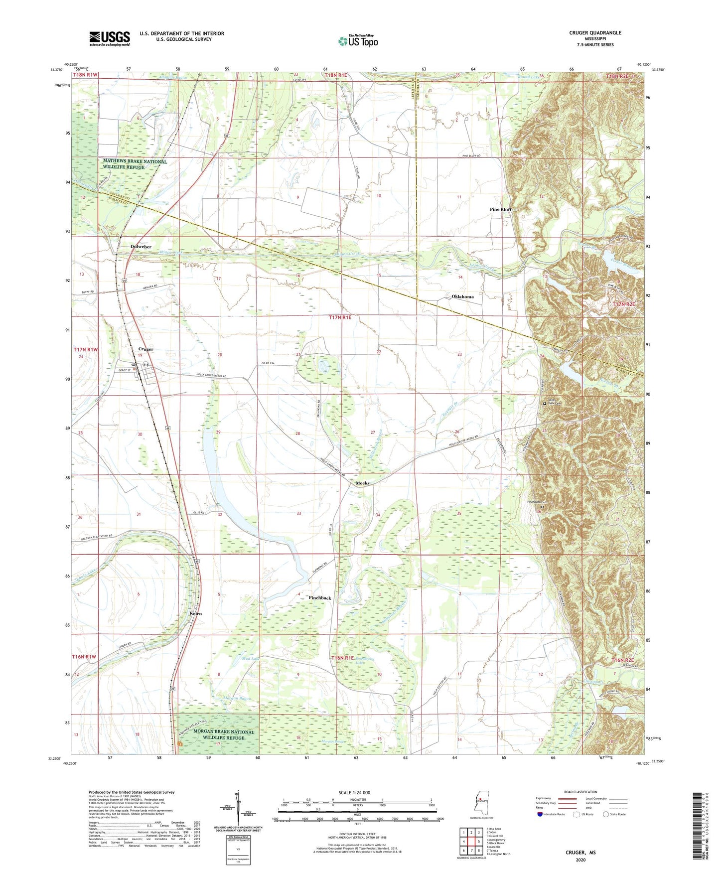
2024 topographic map quadrangle Cruger in the state of Mississippi. Scale: 1:24000. Based on the newly updated USGS 7.5' US Topo map series, this map is in the following counties: Holmes, Carroll, Leflore. The map contains contour data, water features, and other items you are used to seeing on USGS maps, but also has updated roads and other features. This is the next generation of topographic maps. Printed on high-quality waterproof paper with UV fade-resistant inks.
Quads adjacent to this one:
West: Montgomery
Northwest: Itta Bena
North: Sidon
Northeast: Gravel Hill
East: Black Hawk
Southeast: Lexington North
South: Tchula
Southwest: Marcella
This map covers the same area as the classic USGS quad with code o33090c2.
Contains the following named places: Abiaca Watershed Y-34-1 Dam, Abiaca Watershed Y-34-45 Dam, Aibacha Creek Diversion Canal, Alligator Bayou, Baldwins Landing, Bethel School, Black Watershed Y-36-55 Dam, Black Watershed Y-36-56 Dam, Chapel Bell, Chicopa Creek, Clear Lake, Crescent Landing, Cruger, Cruger Baptist Church, Cruger Post Office, Dulweber, Everett Branch, Fisher Branch, Gibson Lake, Gods Sanctuary Church, Gorden Chapel Church, Hymon Chapel, Keirn, Kiern Landing, Linden Landing, Meeks, Morgan Bayou, Morgan Brake, Mosquito Lake, Mud Lake, Oklahoma, Phillippi Plantation, Pinchback, Pinchback Cemetery, Pinchback Lake, Pine Bluff, Pine Bluff Church, Roundaway Lake, Town of Cruger, Valley View Cemetery, Valley View Church, ZIP Code: 38924


