MyTopo
Tchula Mississippi US Topo Map
Couldn't load pickup availability
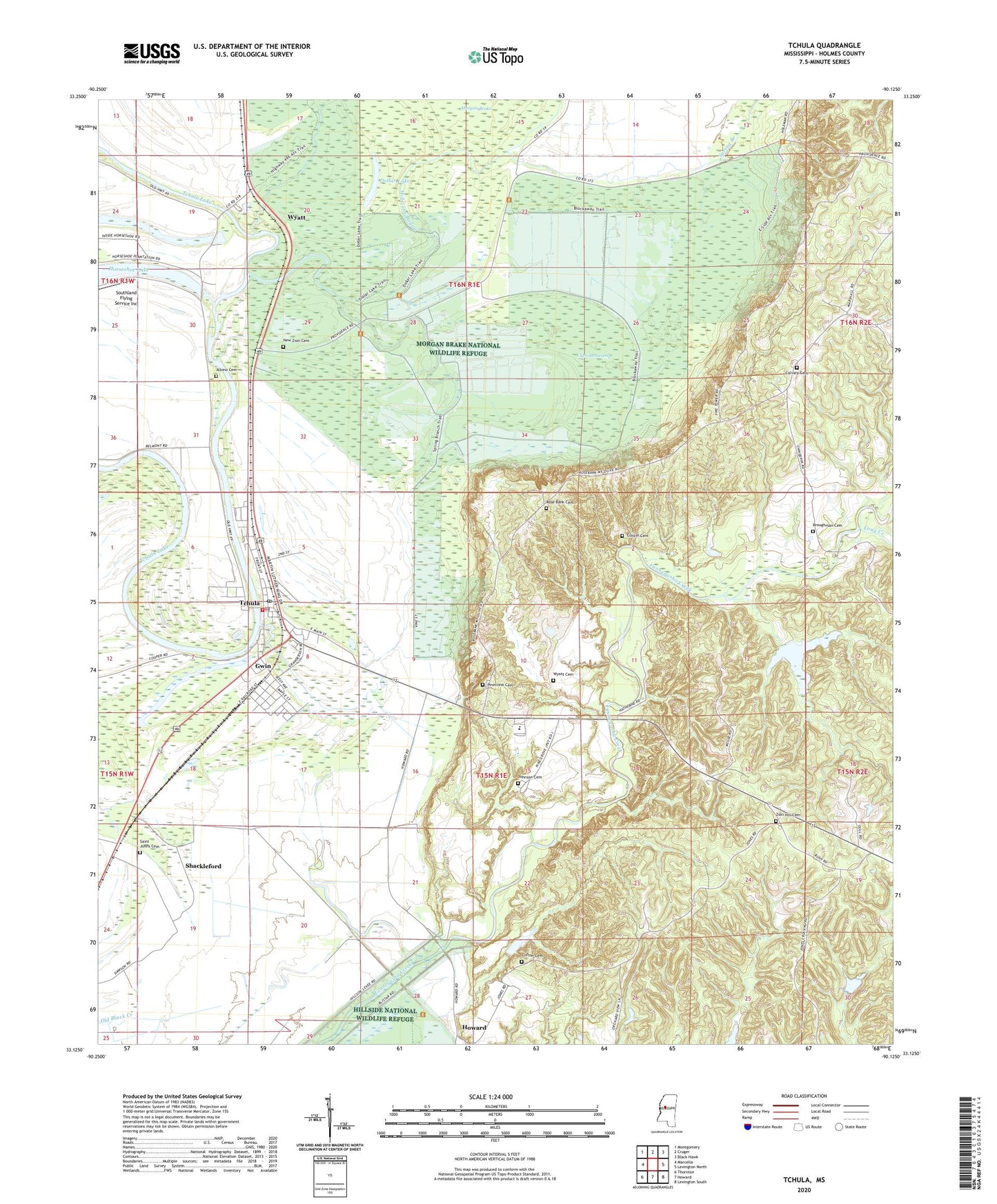
2024 topographic map quadrangle Tchula in the state of Mississippi. Scale: 1:24000. Based on the newly updated USGS 7.5' US Topo map series, this map is in the following counties: Holmes. The map contains contour data, water features, and other items you are used to seeing on USGS maps, but also has updated roads and other features. This is the next generation of topographic maps. Printed on high-quality waterproof paper with UV fade-resistant inks.
Quads adjacent to this one:
West: Marcella
Northwest: Montgomery
North: Cruger
Northeast: Black Hawk
East: Lexington North
Southeast: Lexington South
South: Howard
Southwest: Thornton
This map covers the same area as the classic USGS quad with code o33090b2.
Contains the following named places: Albino Cemetery, Albino Landing, Albino School, Bethlehem Church, Black Watershed Y-36-11 Dam, Black Watershed Y-36-12 Dam, Black Watershed Y-36-25 Dam, Broughman Cemetery, Calvary Cemetery, Calvary Episcopal Church, Canewood Plantation, Clifton Cemetery, Cunliff Cemetery, Cypress Swamp, Dewberry Landing, Dollar Lake, Dunbar Plantation, Garden Chapel, Gwin, Gwin Landing, Horseshoe Bend Landing, Johnson Cemetery, Long Creek, Lynchfield Landing, Millstone Bayou, Morgan Brake National Wildlife Refuge, Mount Zion Church, Mount Zion School, New Zion Cemetery, New Zion Church, Oregon Landing, Oswego, Oswego Landing, Pinecrest Cemetery, Providence Church, Rose Bank Cemetery, Rose Bank Church, Rose Bank School, Rose Hill Church, Rose Hill School, Saint Johns Cemetery, Saint Johns Church, Shackleford, Sharp School, Southland Flying Service Inc, Spring Branch, Supervisor District 5, Tchula, Tchula City Landing, Tchula Junction, Tchula Police Department, Tchula Post Office, Tchula Sewage Lagoon Dam, Tchula Volunteer Fire Department, Town of Tchula, Wyatt, Wyatt Cemetery, Zion Hill Cemetery, Zion Hill Church, ZIP Code: 39169