MyTopo
Dundee Mississippi US Topo Map
Couldn't load pickup availability
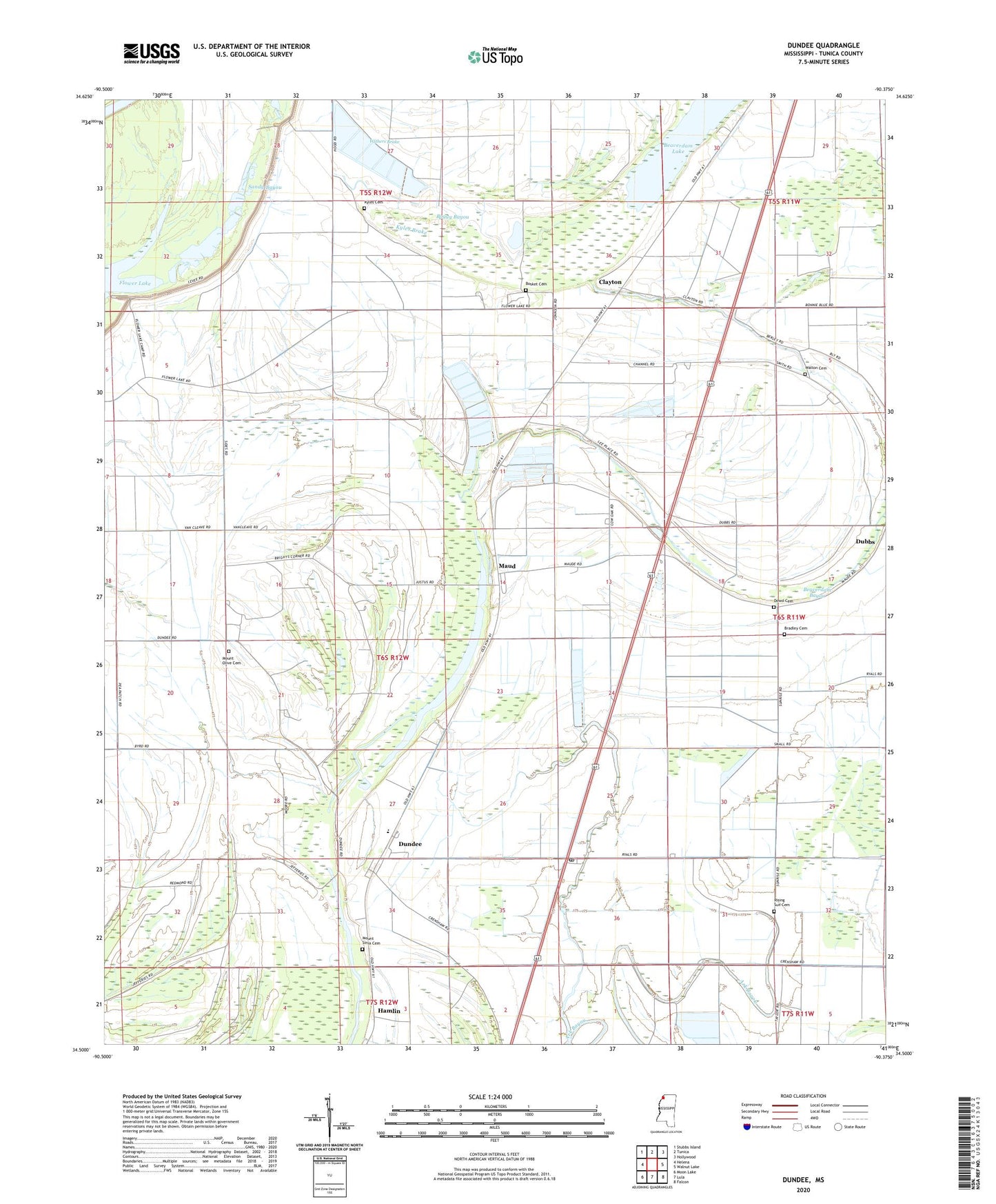
2020 topographic map quadrangle Dundee in the state of Mississippi. Scale: 1:24000. Based on the newly updated USGS 7.5' US Topo map series, this map is in the following counties: Tunica. The map contains contour data, water features, and other items you are used to seeing on USGS maps, but also has updated roads and other features. This is the next generation of topographic maps. Printed on high-quality waterproof paper with UV fade-resistant inks.
Quads adjacent to this one:
West: Helena
Northwest: Stubbs Island
North: Tunica
Northeast: Hollywood
East: Walnut Lake
Southeast: Falcon
South: Lula
Southwest: Moon Lake
Contains the following named places: Bear Lake, Beaverdam, Beaverdam Bayou, Boggy Bayou, Bosket Cemetery, Boyd Brothers Catfish Ponds Dam, Bradley Cemetery, C H Block Catfish Ponds Dam, Clayton, Clayton School, Cow Oak Lake, Crews, Cypress Lake, Dowd Cemetery, Dowd School, Dundee, Dundee Census Designated Place, Dundee Post Office, Dundee School, E Justice Lake Dam, Friendship Church, Hamlin, Kyles Brake, Kyles Cemetery, Kyles Church, Lake School, Maud, Mitlon Boyd Catfish Pond Dam, Mount Olive Cemetery, Mount Olive Church, Mount Olive School, Mount Sinai Church, Mount Sinia Cemetery, Mount Zion Church, Oak Grove Church, Peters Rock Church, Peyton, Pleasant Grove Church, Rising Sun Cemetery, Rising Sun Church, S W Seabrook Catfish Ponds Dam, Sanders Church, Sandy Bayou, Supervisor District 5, Walton Cemetery, Walton Church, Withers Brake, Withers Church, Withers School, ZIP Code: 38626