MyTopo
Eucutta Mississippi US Topo Map
Couldn't load pickup availability
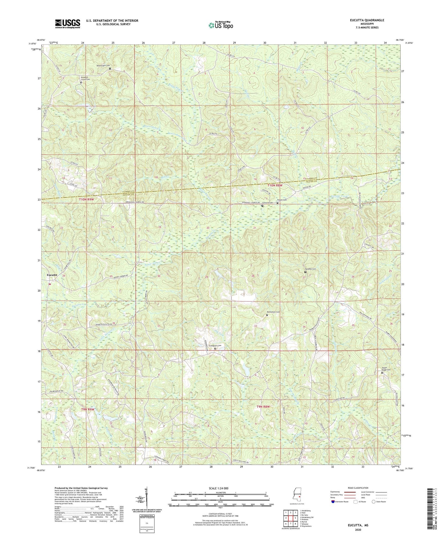
2024 topographic map quadrangle Eucutta in the state of Mississippi. Scale: 1:24000. Based on the newly updated USGS 7.5' US Topo map series, this map is in the following counties: Wayne, Clarke. The map contains contour data, water features, and other items you are used to seeing on USGS maps, but also has updated roads and other features. This is the next generation of topographic maps. Printed on high-quality waterproof paper with UV fade-resistant inks.
Quads adjacent to this one:
West: Heidelberg SW
Northwest: Heidelberg
North: Hale
Northeast: De Soto
East: Shubuta
Southeast: Waynesboro
South: Whistler
Southwest: Myrick
This map covers the same area as the classic USGS quad with code o31088g7.
Contains the following named places: Beaverdam Cemetery, Beaverdam Creek, Bethel Church, Bethlehem Cemetery, Bethlehem Church, Bogue Flower, Bounds Lake Dam, Concord Cemetery, Corn Cobb Church, Dry Fork, Eucutta, Eucutta Methodist Church, Eucutta Oil Field, Evergreen Cemetery, Evergreen Church, Fairfield School, Goodwater Oil Field, Holiness Church, Horse Branch, Jackie Branch, Jesus Name Church, Lions School, Little Eucutta Creek, Masonite Nursery Reservoir Dam, Melvin School, Mill Creek, Napiers Mill, Pine Orchard Branch, Pleasant Grove Baptist Church, Pleasant Grove Cemetery, Pleasant Grove School, Powell Cemetery, Reynolds Store, Saint Paul Church, Sand Hill Church, Sandhill Cemetery, Silver Spree Church, Spring Hill Church, Stanley Mill, Sugar Hill Creek, Sweet Pilgrim Church, Tampa Creek, Tribulation Church, Tribulation School, Wagon Branch, Walden Ridge School, Waller Ridge Cemetery, Waller Ridge Church, Wayne County Volunteer Fire Department Eucutta Station, Wolf Creek, Wolf Creek Oil Field, Woodward Pond Dam, ZIP Code: 39360