MyTopo
Hebron Mississippi US Topo Map
Couldn't load pickup availability
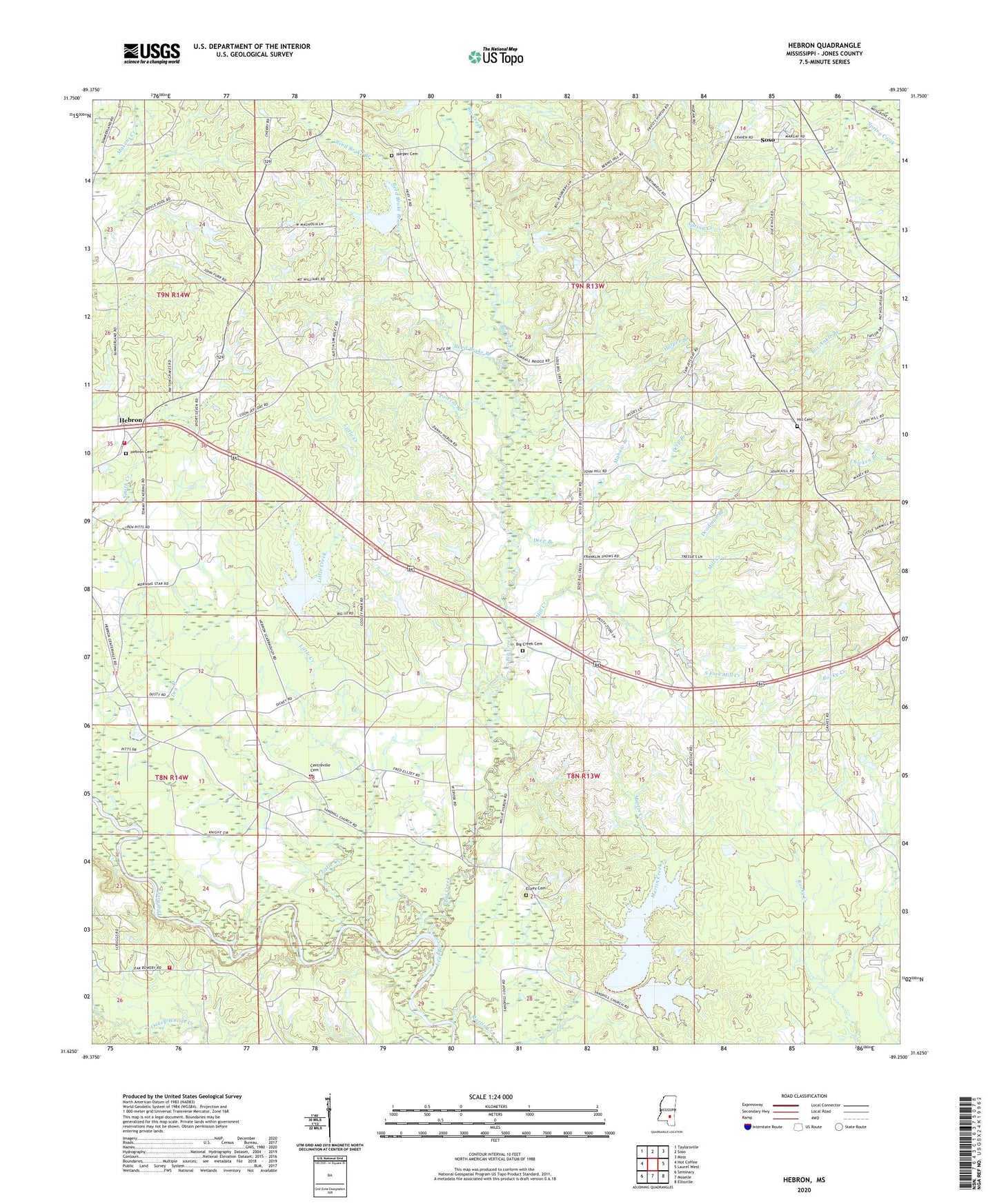
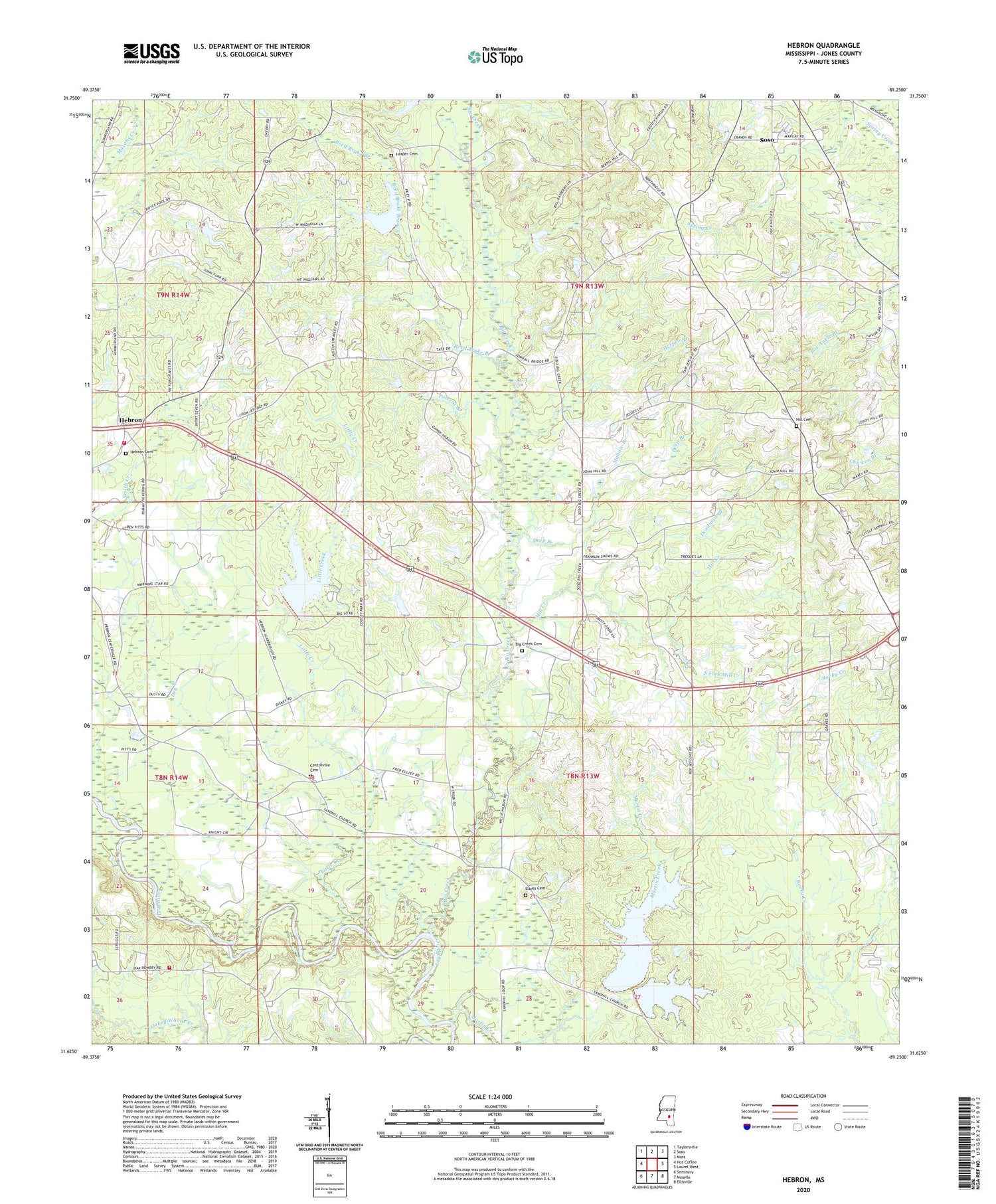
2024 topographic map quadrangle Hebron in the state of Mississippi. Scale: 1:24000. Based on the newly updated USGS 7.5' US Topo map series, this map is in the following counties: Jones. The map contains contour data, water features, and other items you are used to seeing on USGS maps, but also has updated roads and other features. This is the next generation of topographic maps. Printed on high-quality waterproof paper with UV fade-resistant inks.
Quads adjacent to this one:
West: Hot Coffee
Northwest: Taylorsville
North: Soso
Northeast: Moss
East: Laurel West
Southeast: Ellisville
South: Moselle
Southwest: Seminary
This map covers the same area as the classic USGS quad with code o31089f3.
Contains the following named places: Big Creek, Big Creek Cemetery, Big Creek Church, Big Creek Watershed Structure 9 Dam, Boggy Volunteer Fire Department, Bruce School, C F Greene Lake Dam, Centerville Baptist Church, Centerville School, Centreville Cemetery, Charles Pickering Catfish Ponds Dam, Deadman Branch, Deavor Powell Pond Dam, Deep Branch, Dry Branch, Duck Hill Church, Ellzey Cemetery, Harper Branch, Harper Cemetery, Hebron, Hebron Cemetery, Hebron Methodist Church, Hebron School, Hebron Volunteer Fire Department, Hill Cemetery, Liberty Church, Little Creek, Mahaw Branch, Martin Creek, Merrill Pickering Lake Dam, Mill Creek, Morning Star Church, Mount Roe School, Mount William Church, Polecat Branch, Prospect School, Reed Brake Branch, Smiths Store, South Fork Mill Creek, Supervisor District 2, Sweet Beulah Church, Trinity Church, ZIP Code: 39480


