MyTopo
Highpoint Mississippi US Topo Map
Couldn't load pickup availability
Also explore the Highpoint Forest Service Topo of this same quad for updated USFS data
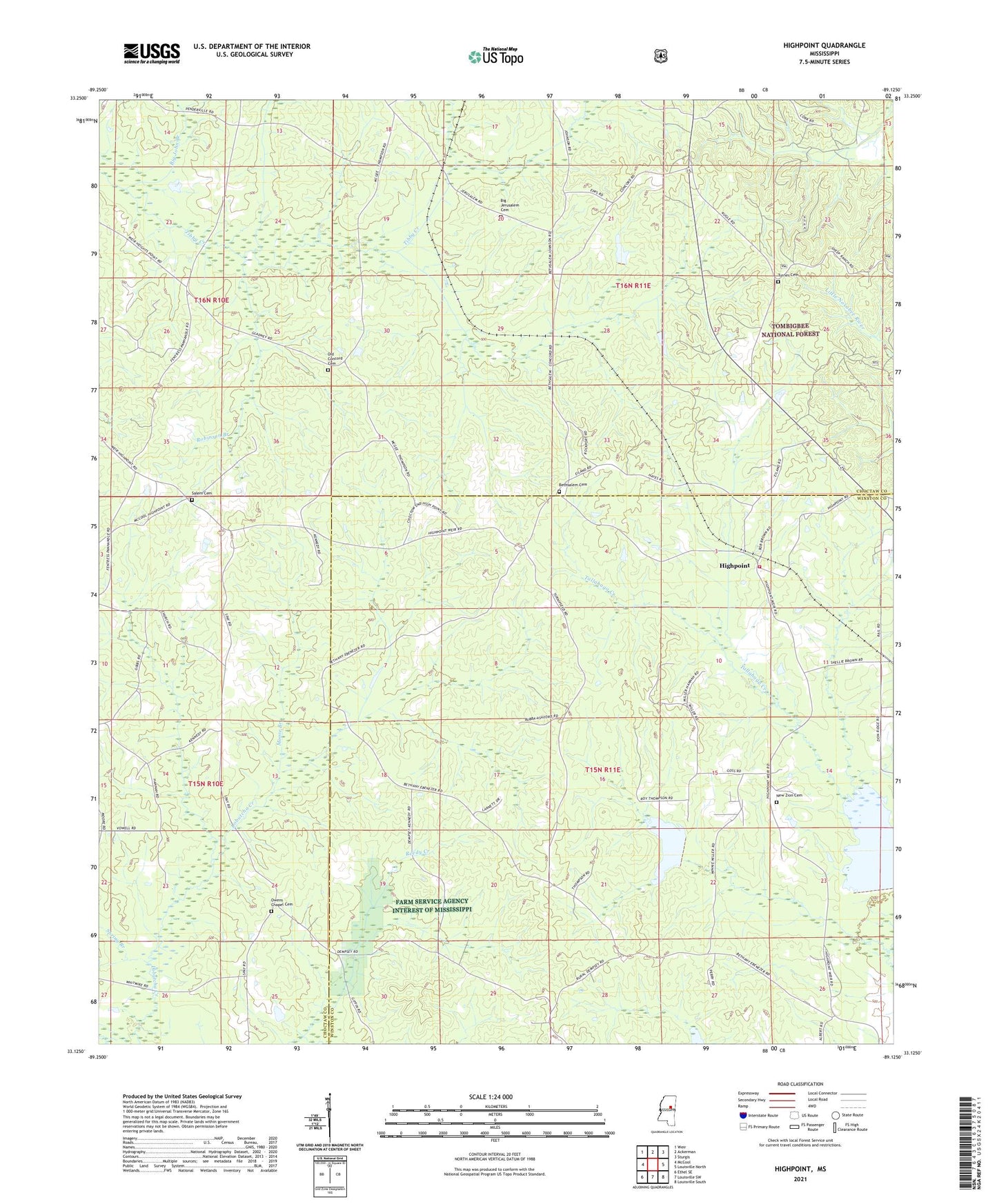
2024 topographic map quadrangle Highpoint in the state of Mississippi. Scale: 1:24000. Based on the newly updated USGS 7.5' US Topo map series, this map is in the following counties: Choctaw, Winston. The map contains contour data, water features, and other items you are used to seeing on USGS maps, but also has updated roads and other features. This is the next generation of topographic maps. Printed on high-quality waterproof paper with UV fade-resistant inks.
Quads adjacent to this one:
West: McCool
Northwest: Weir
North: Ackerman
Northeast: Sturgis
East: Louisville North
Southeast: Louisville South
South: Louisville SW
Southwest: Ethel SE
This map covers the same area as the classic USGS quad with code o33089b2.
Contains the following named places: Aubry Epps Lake Dam, Bay Branch, Bethany Church, Bethsalem Church, Bethsalem Presbyterian Church Cemetery, Big Jerusalem Cemetery, Big Jerusalem Missionary Baptist Church, Big John Branch, Charlie Ray Lake Dam, Concord Church, County Line School, Ebenezer Church, Head School, High Point Volunteer Fire Department, Highpoint, Hutchinson School, Irvin Spur, Moore Branch, Mount Nebo Church, New Jerusalem Church, New Prospect, New Zion Cemetery, New Zion Missionary Baptist Church, Noxubee Grange Hall School, Old Concord Cemetery, Opel Blane Lake Dam, Owens Chapel, Owens Chapel Cemetery, Robinson Branch, Rockport Church, Salem Church, Salem United Methodist Church Cemetery, Sister Jerusalem Church, Spay School, Spring Branch, Tallahaga Creek 3 Dam, Tallahaga Watershed Structure 6 Dam, Turner Cemetery