MyTopo
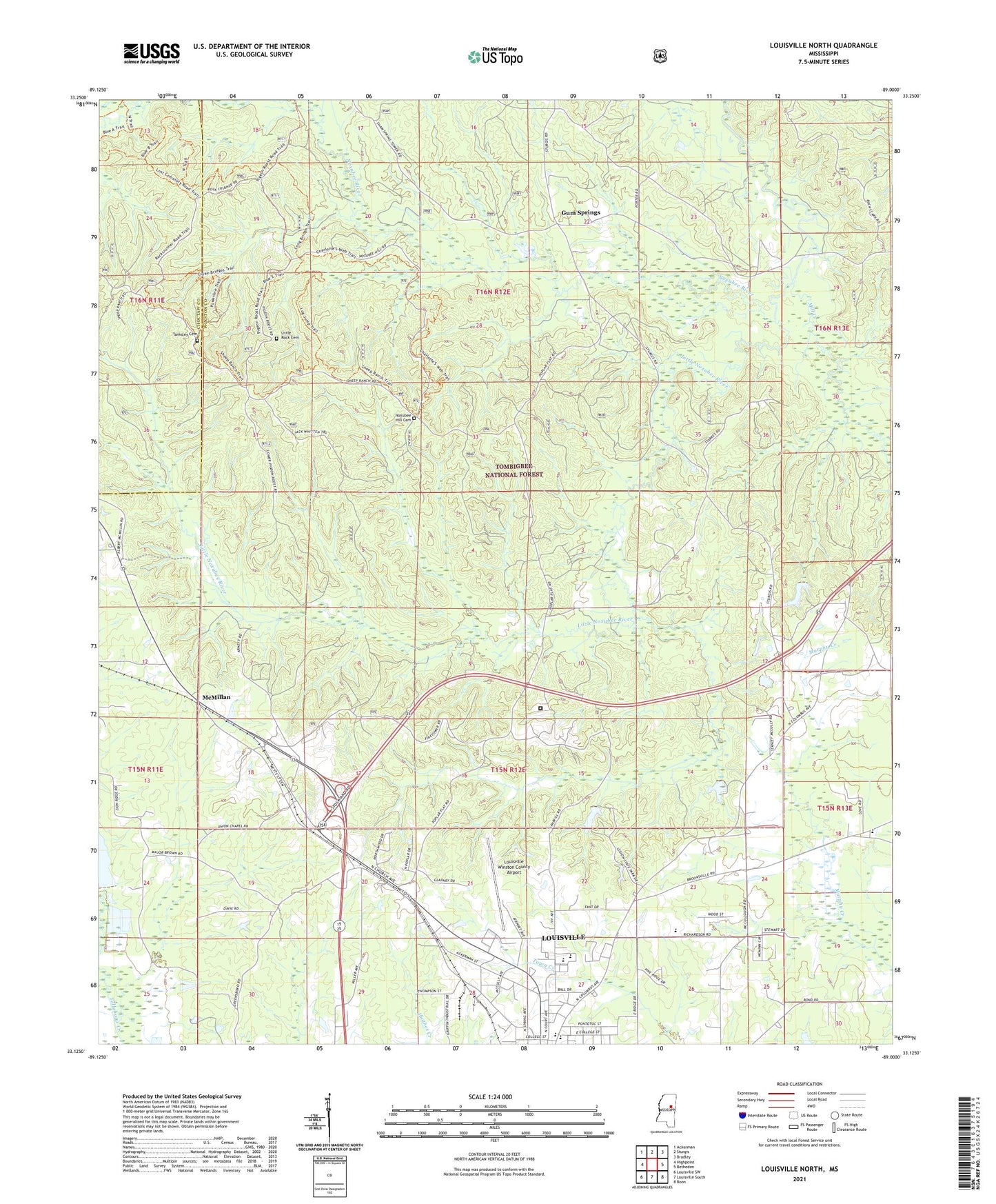
Louisville North Mississippi US Topo Map
Couldn't load pickup availability
Also explore the Louisville North Forest Service Topo of this same quad for updated USFS data
2024 topographic map quadrangle Louisville North in the state of Mississippi. Scale: 1:24000. Based on the newly updated USGS 7.5' US Topo map series, this map is in the following counties: Winston, Choctaw. The map contains contour data, water features, and other items you are used to seeing on USGS maps, but also has updated roads and other features. This is the next generation of topographic maps. Printed on high-quality waterproof paper with UV fade-resistant inks.
Quads adjacent to this one:
West: Highpoint
Northwest: Ackerman
North: Sturgis
Northeast: Bradley
East: Betheden
Southeast: Boon
South: Louisville South
Southwest: Louisville SW
This map covers the same area as the classic USGS quad with code o33089b1.
Contains the following named places: Evergreen, Evergreen Baptist Church, First United Pentecostal Church, Greenboro Church, Gum Springs, Gum Springs Church, Legion Lake Dam, Little Noxubee River, Little Rock Cemetery, Louisville Winston County Airport, McMillan, Mill Creek, Noxubee Hill Cemetery, Poplar Flat Church, Supervisor District 1, Tallahaga Watershed Structure 4 Dam, Tanksley Cemetery, Taylor Church, Tombigbee National Forest, Union Chapel Baptist Church, Wess Chapel, West Union Church, Winston - Choctaw County / Regional Correctional Facility, Winston Academy, Winston Lookout Tower