MyTopo
Jackson SE Mississippi US Topo Map
Couldn't load pickup availability
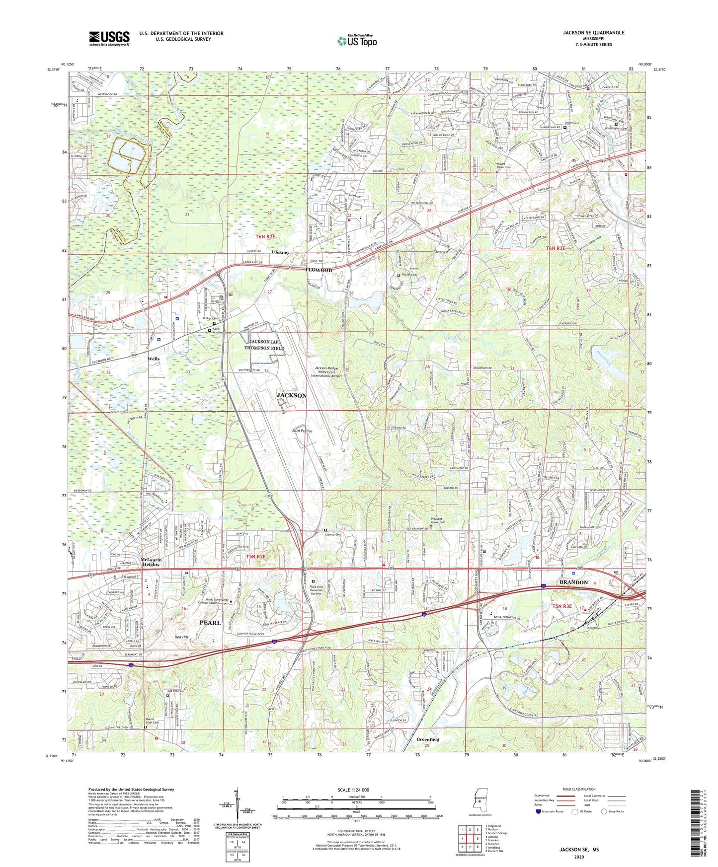
2024 topographic map quadrangle Jackson SE in the state of Mississippi. Scale: 1:24000. Based on the newly updated USGS 7.5' US Topo map series, this map is in the following counties: Rankin, Hinds. The map contains contour data, water features, and other items you are used to seeing on USGS maps, but also has updated roads and other features. This is the next generation of topographic maps. Printed on high-quality waterproof paper with UV fade-resistant inks.
Quads adjacent to this one:
West: Jackson
Northwest: Ridgeland
North: Madison
Northeast: Goshen Springs
East: Brandon
Southeast: Puckett NW
South: Whitfield
Southwest: Florence
This map covers the same area as the classic USGS quad with code o32090c1.
Contains the following named places: Bald Prairie, Belaire, Bellegrove, Brandon Fire Department Station 1, Brandon Fire Department Station 5, Brandon Park, Brandon Police Department, Brandon Post Office, Brandon Public Library, Bridlewood, Bright Park, Camp Pioneer, Castlewoods, Castlewoods Baptist Church, Castlewoods Country Club, Charter Hospital, City of Pearl, Cofo Lake Dam, Country Place, Creekwood Place, Crest Park Church of God, Crossgates, Crossgates Baptist Church, Crossgates Lake, Crossgates Lake Dam, Crossgates Park, Crossgates Plaza Shopping Center, Crossgates United Methodist Church, Crossgates Village Shopping Center, Cunningham Heights, Dogwood Place, Drakes Cemetery, Drakes Church, East Manor Estates, Eastgate Village Shopping Center, Eastside Baptist Church, First Freewill Baptist Church, First Pentecostal Church, Flora Hills Memorial Gardens, Flowood Fire Department Station 1, Flowood Fire Department Station 3, Flowood Fire Department Station 4 Central, Flowood Police Department, Flowood Post Office, Grove Park, Hanging Moss Creek, Hickory Glen, Hind Community College, Hog Creek, Hog Creek School, Hunters Woods, Jackson International Airport, Jackson Preparatory School, Jackson Sewage Lagoon Dam, Jackson-Medgar Wiley Evers International Airport, Jones Shopping Center, Kings Heights, Lakeland Church, Liberty Baptist Church, Liberty Cemetery, Liberty Church, Luckney, McLaurin Heights, McLaurin Heights Baptist Church, McLaurin Heights United Methodist Church, McLaurin Shopping Center, McLeod Elementary School, Merit Health Rankin, Metro Airport Industrial Park, Metro School of Gymnastics, Mill Creek, Mill Creek Corners, Mill Creek Place, Mount Elam Cemetery, Mount Elem Church, Mount Olive Cemetery, Mount Olive Church, Neely Plantation, New Life Christian Fellowship Church, Niknar Country Club, Northside-Pearl School, Northwoods, Oak Grove Church, Old Sea Cemetery, Park Place Baptist Church, Park Place Shopping Center, Patrick Lake Dam, Patton Place, Patton Plaza Shopping Center, Pearl Central Fire Station, Pearl Elementary School, Pearl Fire Department Station 3, Pearl Fire Department Station 4, Pearl Junior High School, Pearl Municipal Library, Pearl Presbyterian Church, Penecostal of Pearl Church, Pleasant Grove Baptist Church, Pleasant Grove Cemetery, Purple Creek, Rankin County Museum, Rankin Square Shopping Center, Rankin-Pearl Vocational School, Red Hill, Reservoir Fire Department Station 1 Headquarters, Reservoir Post Office, Rice Switch, River Oaks East Womans Pavillion, River Oaks Hospital, River Oaks Industrial Park, Riverside Hospital, Russel Cemetery, Saint James Church, Saint James Headstart Center, Saint Jude Catholic Church, Saint Marks Church, Saint Marys Church, Saint Matthew Baptist Church, Saint Matthew Cemetery, Saint Stephens Church, Sherwood Forest, Skyway Hills, Skyway Hills Baptist Church, Skyway Hills Church of Christ, Spring Lake, Spring Lake Dam, Summerwood, Sunshine Church, Supervisor District 5, Sweet Home Church, Taylorsville Church, Terrapin Hill, The Commons, Trinity Baptist Church, Truitt Church, Union Baptist Church, Union Cemetery, University Christian School, Wallace Chapel, Wards Ferry, Wells, Whittington Cemetery, WKKE-AM (Pearl), Woman's Hospital, ZIP Codes: 39208, 39211, 39232


