MyTopo
Madison Mississippi US Topo Map
Couldn't load pickup availability
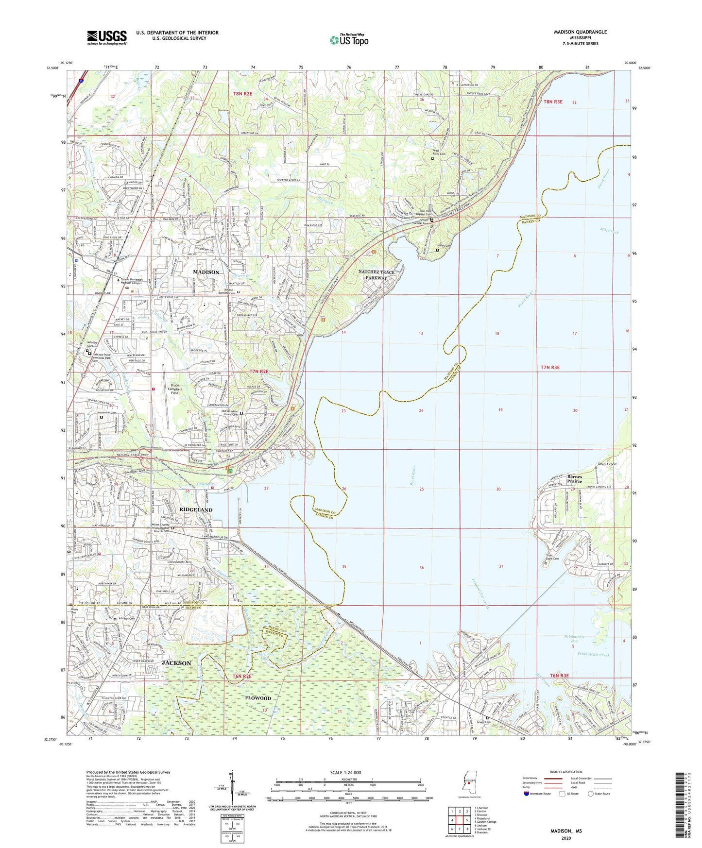
2024 topographic map quadrangle Madison in the state of Mississippi. Scale: 1:24000. Based on the newly updated USGS 7.5' US Topo map series, this map is in the following counties: Madison, Rankin, Hinds. The map contains contour data, water features, and other items you are used to seeing on USGS maps, but also has updated roads and other features. This is the next generation of topographic maps. Printed on high-quality waterproof paper with UV fade-resistant inks.
Quads adjacent to this one:
West: Ridgeland
Northwest: Charlton
North: Canton
Northeast: Shoccoe
East: Goshen Springs
Southeast: Brandon
South: Jackson SE
Southwest: Jackson
This map covers the same area as the classic USGS quad with code o32090d1.
Contains the following named places: Abiaca Watershed Y-34-5 Dam, Arrowhead Point, Ascension Lutheran Church, Ashland Estates, Audubon Point, Barnes Prairie, Beaver Creek, Bennett Chapel, Brashear Creek, Bruce Campbell Field, Bryants Store, Christian Union Church, Cockrells Ferry, Collins Ferry, Colonial Heights Baptist Church, Cornerstone Assembly Church, Country Club Village Shopping Center, Country Club Woods, Culley Creek, Culley Lake, D E Burt Lake Dam, Dee's Airport, First Baptist Church, First Presbyterian Church, Forest Point, Gateway North, Gaughf School, Grants Ferry, Haley Cemetery, Haley Creek, Harbourview, Hearn Creek, Hunters Creek, Jackson Country Club, Jackson Country Club Lake Dam, Jackson Yacht Club, Jessamine Cemetery, Johnson Cemetery, Johnson Ferry, Jones Cemetery, Kings Tavern, Lakeshore, Lakeshore Recreation Area, Lakeside Church, Lakeside Marina, Lewis Cemetery, Madison, Madison City Hall, Madison Fire Department Station 2, Madison Police Department, Madison Post Office, Madison Public Library, Madison Station Elementary School, Madison-Ridgeland Academy, Madison-Ridgeland High School, Main Harbor, Melton - Bennett Cemetery, Memory Gardens, Midway, Mill Creek, Millrun, Mississippi Crafts Center, Montgomery Historic House Museum, Montgomery Memorial Methodist Church, Mormon Church, Mount Charity Church, Mount Charity Missionary Baptist Church Cemetery, Mule Jail Lake, Natchez Trace Memorial Park Cemetery, Natchez Trace Village, Natchez Trace Village Dam, Natchez Trace Village Lake Dam, North Town Plaza, Northpointe, Northtown Village Shopping Center, Old Christian Union Cemetery, Old Trace Park, Paradise Point, Pearl River Cemetery, Pearl River Church, Pecan Creek, Pelahatchie Bay, Pelahatchie Creek, Pelahatchie Recreation Area, Pelahatchie Woods, Pelucia Watershed Y-33a-14 Dam, Pilgrim Rest Baptist Church, Pinelake Church, Puckshunnubbe, Red Tavern, Reservoir Square Shopping Center, Ridgecrest Church, Ridgeland Elementary School, Ridgeland Fire Department Central Station, Ridgeland Fire Department Station 3, Ridgeland Post Office, Rolling Meadows, Roses Bluff, Ross Barnett Reservoir Dam, Saint Frances of Assisi Catholic Church, Saint Matthews Church, Saint Paul Methodist Church, Sandalwood, Scott Elementary School, Smith - Nelson Cemetery, Sportsman Marina, Stonegate, Supervisor District 1, Tavern Hill, The Breakers, Tidewater, Timber Lakes, Traceland North, Treasure Cove, True Light Cemetery, True Light Church, Truelight School, Turtle Creek, Twin Harbor, Victory Church, Village Glen, Village Square, Woodlake, Yerger Lake Dam


