
MyTopo
Paulding Mississippi US Topo Map
Couldn't load pickup availability
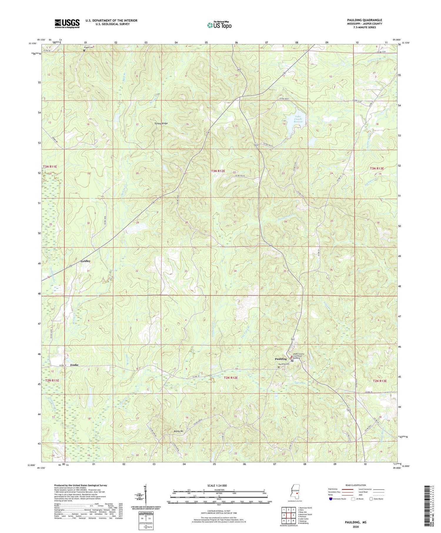
2024 topographic map quadrangle Paulding in the state of Mississippi. Scale: 1:24000. Based on the newly updated USGS 7.5' US Topo map series, this map is in the following counties: Jasper. The map contains contour data, water features, and other items you are used to seeing on USGS maps, but also has updated roads and other features. This is the next generation of topographic maps. Printed on high-quality waterproof paper with UV fade-resistant inks.
Quads adjacent to this one:
West: Montrose South
Northwest: Montrose North
North: Hero
Northeast: Rose Hill
East: Pachuta
Southeast: Heidelberg
South: Waldrup
Southwest: Lake Como
This map covers the same area as the classic USGS quad with code o32089a1.
Contains the following named places: Big Rocky Mount Church, Burgin Lake Dam, Byrd Branch, Cistercian Monastery of Gerowval, Fouke, Goodwater Creek, Goshen, Gridley, Harris Branch, Jasper County, Jasper Lookout Tower, Lake Claude Bennett, Little Rocky Mount Church, Masonite Corporation Game Refuge, McVay Creek, Missionary, New Homer Church, Paulding, Paulding Cemetery, Paulding Post Office, Paulding Volunteer Fire Department, Pisgah Cemetery, Rocky Mount, Saint Michaels Catholic Church, Spring Hill Church, Supervisor District 2, Supervisor Lake Dam, Tallahoma, Tan Yard Branch, Travis Lake Dam, Turkey Ridge, United Church, ZIP Code: 39348


