MyTopo
Peoples Mississippi US Topo Map
Couldn't load pickup availability
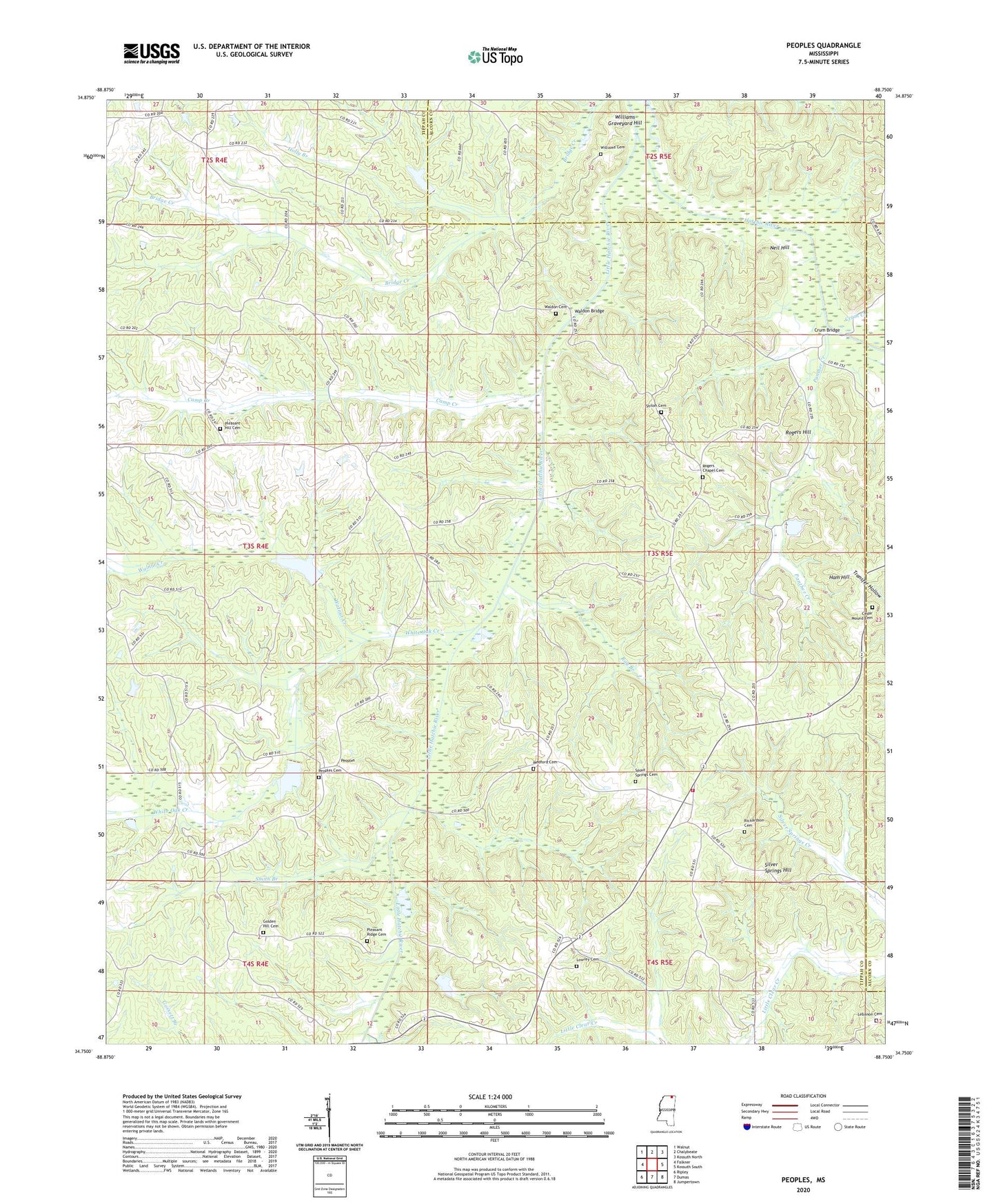
2024 topographic map quadrangle Peoples in the state of Mississippi. Scale: 1:24000. Based on the newly updated USGS 7.5' US Topo map series, this map is in the following counties: Tippah, Alcorn. The map contains contour data, water features, and other items you are used to seeing on USGS maps, but also has updated roads and other features. This is the next generation of topographic maps. Printed on high-quality waterproof paper with UV fade-resistant inks.
Quads adjacent to this one:
West: Falkner
Northwest: Walnut
North: Chalybeate
Northeast: Kossuth North
East: Kossuth South
Southeast: Jumpertown
South: Dumas
Southwest: Ripley
This map covers the same area as the classic USGS quad with code o34088g7.
Contains the following named places: Briar Branch, Brooklyn, Camp Creek, Cedar Mound Cemetery, Cedar Mound Church, Crum Bridge, Crum Creek, Crum Lake Dam, Davis Chapel, Duncan School, Golden Hill Cemetery, Golden Hill Church, Gossett, Ham Hill, Holly Branch, Jocks Lake Dam, Jones Lake Dam, Jones Mill, Lebanon Cemetery, Lebanon Church, Little Hatchie River, Lowrey Cemetery, Lowrey Church, Medford Cemetery, Neely Branch, Neil Hill, Ocala, Panther Creek, Peoples, Peoples Cemetery, Peoples Presbyterian Church, Peoples School, Pleasant Hill Cemetery, Pleasant Hill Church, Pleasant Ridge Cemetery, Providence School, Ray Branch, Richardson Cemetery, Rogers Chapel, Rogers Chapel Cemetery, Rogers Hill, Shiloh, Shiloh Cemetery, Shiloh Church, Shiloh School, Silver Springs, Silver Springs Hill, Smith Branch, Spout Springs Cemetery, Spout Springs Fire Department, Spout Springs Presbyterian Church, Spout Springs School, Supervisor District 5, Waldon Bridge, Waldon Cemetery, Walnut Creek, West Hatchie Structure 37 Dam, West Hatchie Structure 38 Dam, White Oak Bottom, White Oak Creek, Williams Cemetery, Williams Graveyard Hill


