MyTopo
Ripley Mississippi US Topo Map
Couldn't load pickup availability
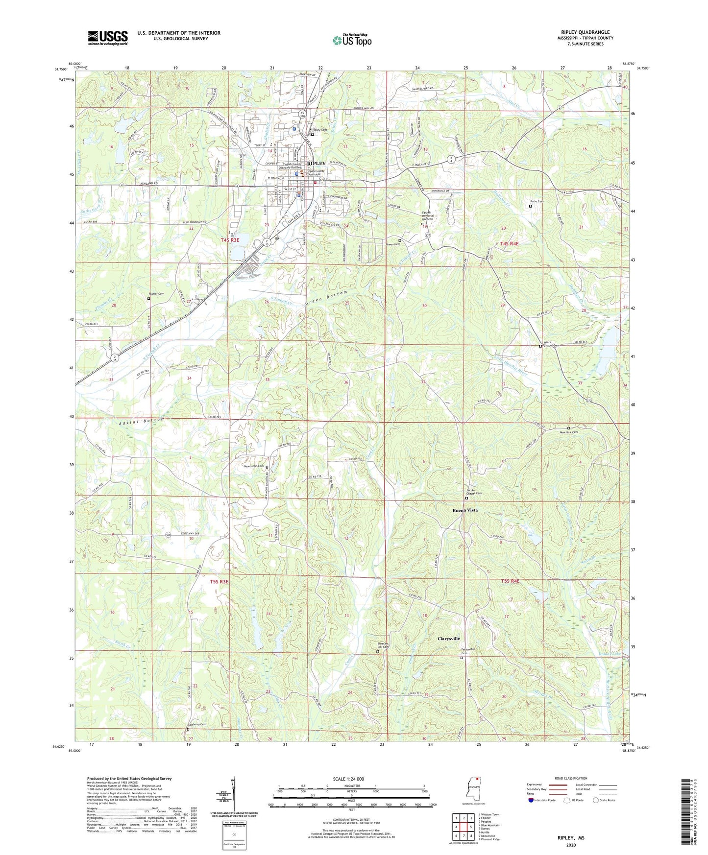
2024 topographic map quadrangle Ripley in the state of Mississippi. Scale: 1:24000. Based on the newly updated USGS 7.5' US Topo map series, this map is in the following counties: Tippah. The map contains contour data, water features, and other items you are used to seeing on USGS maps, but also has updated roads and other features. This is the next generation of topographic maps. Printed on high-quality waterproof paper with UV fade-resistant inks.
Quads adjacent to this one:
West: Blue Mountain
Northwest: Whitten Town
North: Falkner
Northeast: Peoples
East: Dumas
Southeast: Pleasant Ridge
South: Keownville
Southwest: Myrtle
This map covers the same area as the classic USGS quad with code o34088f8.
Contains the following named places: Academy Cemetery, Academy Church, Adkins Bottom, Adkins Chapel, Antioch Church, Antioch School, Buena Vista, Buena Vista School, City of Ripley, Clarysville, Dixon Pond Ditch, Eugene Bennett Pond Dam, Fellowship Cemetery, Fellowship Church, First United Pentecostal Church, Green Bottom, Green Cemetery, Harden Branch, Hickory Grove Church, Holliday Creek, J A Booker Senior Pond Dam, Jacobs Chapel, Jacobs Chapel Cemetery, Line Street High School, Moses Chapel, New Hope, New Hope Cemetery, New Hope Church, New York Cemetery, North Ripley Baptist Church, Orizaba, Palmer Cemetery, Palmer Church, Palmer School, Parks Cemetery, Parks Chapel Presbyterian Church, Parks Chapel School, Phyfer Creek, Pine Hill Golf Course, Pleasant Hill Cemetery, Ripley, Ripley Cemetery, Ripley Church of Christ, Ripley Cumberland Presbyterian Church, Ripley Elementary School, Ripley First Baptist Church, Ripley First United Methodist Church, Ripley High School, Ripley Male and Female Academy, Ripley Middle School, Ripley Police Department, Ripley Post Office, Ripley Presbyterian Church, Ripley Primitive Baptist Church, Ripley Public Library, Ripley Second Baptist Church, Ripley Sewage Lagoon Dam, Ripley Volunteer Fire Department, Saint John Church, Smith Branch, Springdale Church, Tippah County Courthouse, Tippah County Hospital, Tippah County Lake Dam, Tippah County Sheriff's Office, Tippah County Vocational Technical Center, Tippah Memorial Gardens, Tippah Village, Town Creek, Trinity Church, WCSA-AM (Ripley), West Hatchie Watershed 36 Dam, West Ripley Baptist Church, West Ripley Church, Wier Chapel, Wiers Chapel Cemetery, Wiers Chapel School, ZIP Code: 38663


