MyTopo
Pine Ridge Mississippi US Topo Map
Couldn't load pickup availability
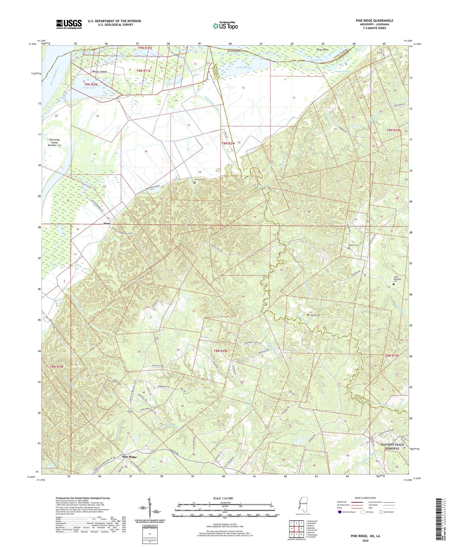
2024 topographic map quadrangle Pine Ridge in the states of Mississippi, Louisiana. Scale: 1:24000. Based on the newly updated USGS 7.5' US Topo map series, this map is in the following counties: Adams, Jefferson, Tensas. The map contains contour data, water features, and other items you are used to seeing on USGS maps, but also has updated roads and other features. This is the next generation of topographic maps. Printed on high-quality waterproof paper with UV fade-resistant inks.
Quads adjacent to this one:
West: Spokane
Northwest: Waterproof
North: Chamblee
Northeast: Rodney
East: Church Hill
Southeast: Cranfield
South: Washington
Southwest: Natchez
This map covers the same area as the classic USGS quad with code o31091f3.
Contains the following named places: Adams Cemetery, Anna, Anna Oil Field, Blueskin Creek, Carl Anderson Lake Dam, Clover Hill Church, Daughters of Zion Church, Dies Slough, Drake-Magruder Cemetery, Duck Pond, Dunbar Bayou, Edgewood Oil Field, Fairchilds Creek, Fairchilds Creek Oil Field, Fields Lake, Greens Bayou Oil Field, Junkins Lake, Linwood Church, Mercer Island, Mercer Oil Field, Milford Church, Milford School, Oakland Oil Field, Painters Cemetery, Painters Oil Field, Painters School, Pine Mount Bayou, Pine Mount Church, Pine Mount Oil Field, Pine Mount School, Pine Ridge, Pine Ridge Oil Field, Pine Ridge Presbyterian Church, Pine Ridge School, Pumping Station Slough, Pumpkin Lake, Quitman Bayou Oil Field, Quitman School, Reeves School, Riverside Church, Saint Luke Church, Sandy Bayou, Second Union Church, Shields Cemetery, Smithland Church, Stanton Oil Field, Vernon Oil Field, Wades Bayou, West Fairchilds Creek Oil Field, West Pine Ridge Oil Field


