MyTopo
Keownville Mississippi US Topo Map
Couldn't load pickup availability
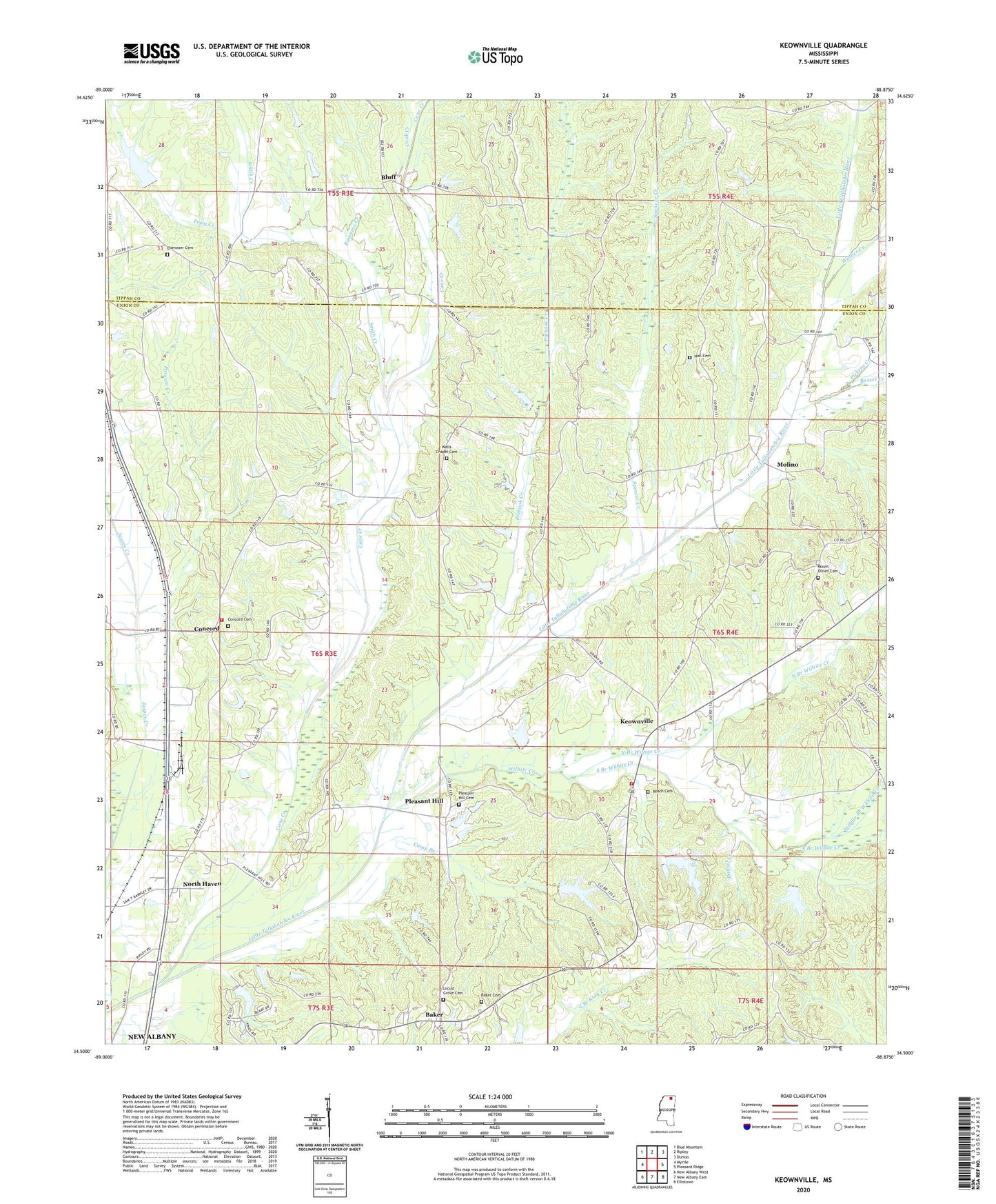
2024 topographic map quadrangle Keownville in the state of Mississippi. Scale: 1:24000. Based on the newly updated USGS 7.5' US Topo map series, this map is in the following counties: Union, Tippah. The map contains contour data, water features, and other items you are used to seeing on USGS maps, but also has updated roads and other features. This is the next generation of topographic maps. Printed on high-quality waterproof paper with UV fade-resistant inks.
Quads adjacent to this one:
West: Myrtle
Northwest: Blue Mountain
North: Ripley
Northeast: Dumas
East: Pleasant Ridge
Southeast: Ellistown
South: New Albany East
Southwest: New Albany West
This map covers the same area as the classic USGS quad with code o34088e8.
Contains the following named places: Baker, Baker Cemetery, Baker Lake Dam, Beaver Dam Church, Bluff, Bumpass Creek, Bussel Creek, Camp Branch, Cane Creek, Concord, Concord Cemetery, Cook Creek, Daniel Creek, Ebenezer Cemetery, Ebenezer Church, Ellis Lake Dam, Foley Creek, Gale, Hall Cemetery, Hall Creek, Jamieson Grove Church, Keownville, Keownville Baptist Church, Kitchings Lake Dam, Little Creek, Locust Grove, Locust Grove Baptist Church, McAllister Creek, Middle Branch Wilhite Creek, Molino, Mosley Chapel, Mount Hermon Church, Mount Olive Church, Mount Olive School, Mount Olivet Cemetery, New Albany Locust Grove Cemetery, New Prospect Church, North Branch Wilhite Creek, North Haven, North Haven Volunteer Fire Department, Northeast Union Fire Department Station 2, Oak View Church, Palestine Church, Pickens Creek, Pinhook Creek, Pleasant Hill, Pleasant Hill Cemetery, Pleasant Hill Church, Possum Creek, Prospect Church, Rainey Lake, Roach Cemetery, Roger Elder Pond Dam, Roy Jordan Lake Dam, Smith Creek, South Branch Wilhite Creek, Spencer Creek, Tate Lake Dam, Tippah-Union School, Utley Lake Dam, Walker Creek, Wells Chapel, Wells Chapel Cemetery, Wilhite Creek


