MyTopo
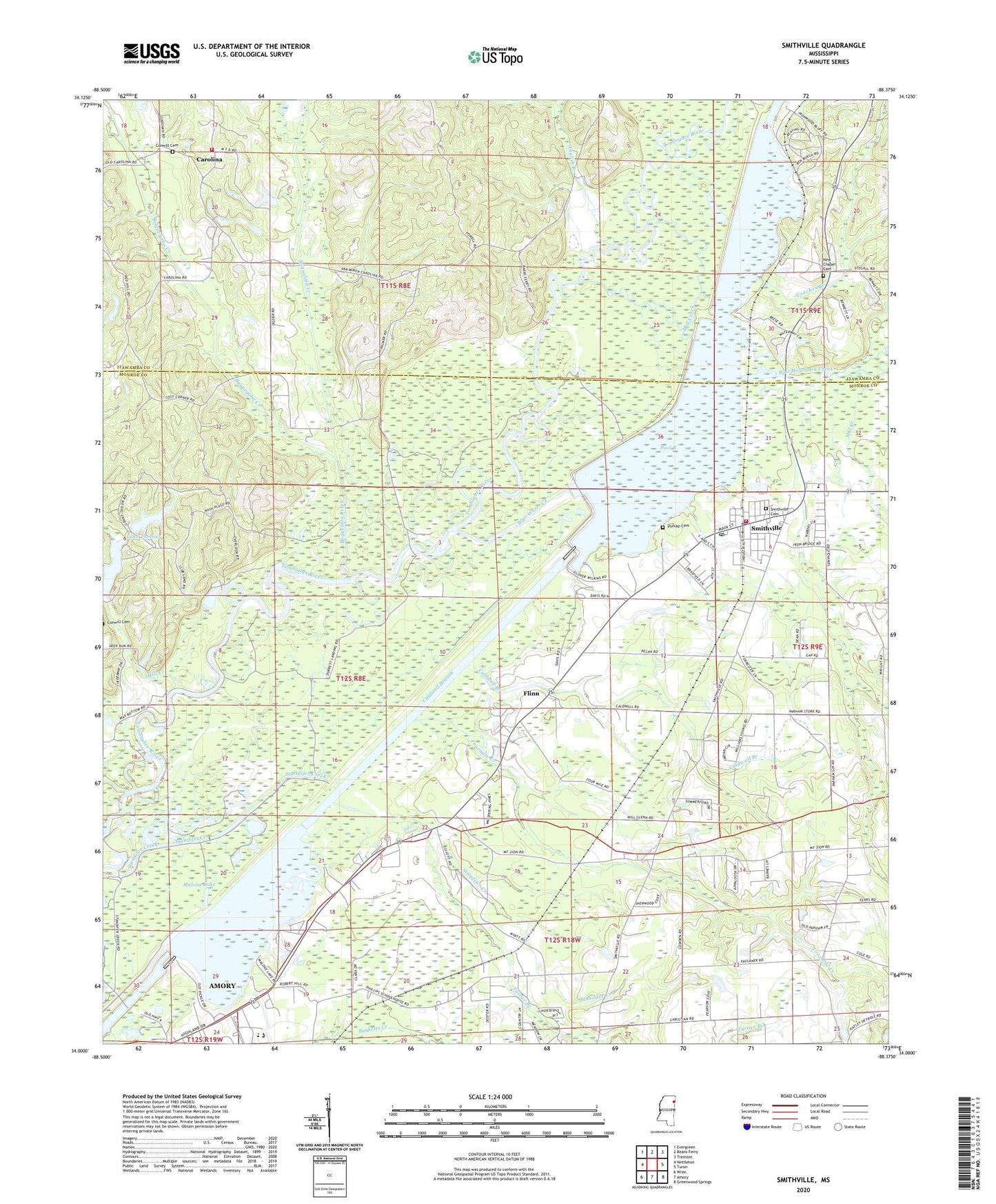
Smithville Mississippi US Topo Map
Couldn't load pickup availability
2024 topographic map quadrangle Smithville in the state of Mississippi. Scale: 1:24000. Based on the newly updated USGS 7.5' US Topo map series, this map is in the following counties: Monroe, Itawamba. The map contains contour data, water features, and other items you are used to seeing on USGS maps, but also has updated roads and other features. This is the next generation of topographic maps. Printed on high-quality waterproof paper with UV fade-resistant inks.
Quads adjacent to this one:
West: Nettleton
Northwest: Evergreen
North: Beans Ferry
Northeast: Tremont
East: Turon
Southeast: Greenwood Springs
South: Amory
Southwest: Wren
This map covers the same area as the classic USGS quad with code o34088a4.
Contains the following named places: Ales, Amory Community Center, Amory Golf Course, Amory High School, Amory Recreation Area, Antioch Church, Bethel Church, Blue Water Creek, Boguefala Creek, Boguegaba Creek, Caldwell Branch, Carolina, Coaches Branch, Conwill Cemetery, Dunlap Cemetery, Emmaus Church, English Branch, Evergreen - Carolina Volunteer Fire Department Station 301, Flinn, Floyton, Fourmile Creek, Hadaway Creek, Jericho Creek, Lake Thomas, Lake Thomas Dam, Lake Whiteside, Malone Lake, Mill Creek, Mount Zion Church, New Chapel, New Chapel Cemetery, New Prospect Church, Poison Pond, Pool B, Pooles Chapel Christian Methodist Church, Section Creek, Smithville, Smithville Baptist Church, Smithville Cemetery, Smithville Church of Christ, Smithville Freewill Baptist Church, Smithville Methodist Church, Smithville Police Department, Smithville Recreation Area, Smithville Volunteer Fire Department, Supervisor District 1, Town of Smithville, Trace Road Independent Baptist Church, Turner Branch


