MyTopo
Neely Mississippi US Topo Map
Couldn't load pickup availability
Also explore the Neely Forest Service Topo of this same quad for updated USFS data
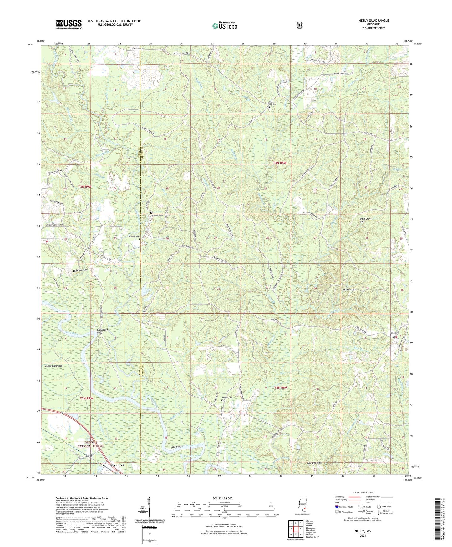
2024 topographic map quadrangle Neely in the state of Mississippi. Scale: 1:24000. Based on the newly updated USGS 7.5' US Topo map series, this map is in the following counties: Greene, Perry. The map contains contour data, water features, and other items you are used to seeing on USGS maps, but also has updated roads and other features. This is the next generation of topographic maps. Printed on high-quality waterproof paper with UV fade-resistant inks.
Quads adjacent to this one:
West: Beaumont
Northwest: Richton
North: Brewer
Northeast: Avera
East: Jonathan
Southeast: Leakesville SW
South: McLain
Southwest: Taylor Hill
This map covers the same area as the classic USGS quad with code o31088b7.
Contains the following named places: Allan Branch, Arlington Baptist Church, Arlington Volunteer Fire Department, Bear Branch, Bee Branch, Bolton Chapel, Breland Eddy, Breland Lake, Buffalo Cemetery, Buffalo Church, Bull Branch, Dantzler Pond, Fairhope Church, Fairhope Missionary Baptist Church, Gaines Creek, Gee Dee Hills, Gin House Bluff, Hillman Hills, House of Prayer Church, Hurricane Creek, Ivory Branch, Leaf River Post Office, Little Creek, Long Branch, McSwain Branch, Mossy Hammock, Neely, Neely Baptist Church, Neely Post Office, New Life in Christ Baptist Church, Oak Grove Church, Oak Swamp Creek, Oakwood Branch, Pauls Stumps, Picayune Creek, Pineland Branch, Pleasant Hill Cemetery, Pleasant Hill Church, Rancho Ande, Red Bluff, Redhill Branch, Reedy Branch, Skull Creek, Skull Creek Hills, Steep Hollow, Sylvester Cemetery, Wooton Creek