MyTopo
Water Oak Mississippi US Topo Map
Couldn't load pickup availability
Also explore the Water Oak Forest Service Topo of this same quad for updated USFS data
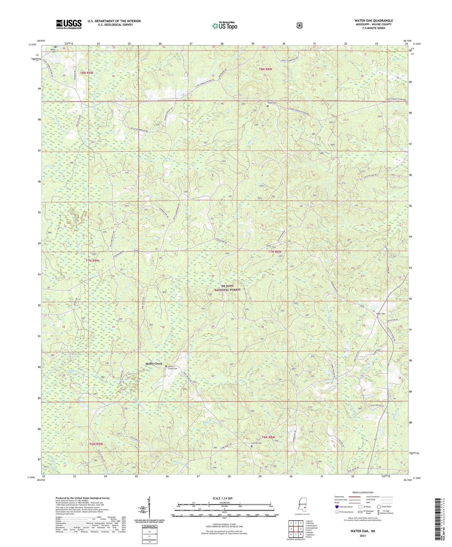
2024 topographic map quadrangle Water Oak in the state of Mississippi. Scale: 1:24000. Based on the newly updated USGS 7.5' US Topo map series, this map is in the following counties: Wayne. The map contains contour data, water features, and other items you are used to seeing on USGS maps, but also has updated roads and other features. This is the next generation of topographic maps. Printed on high-quality waterproof paper with UV fade-resistant inks.
Quads adjacent to this one:
West: Strengthford
Northwest: Myrick
North: Whistler
Northeast: Waynesboro
East: Clara
Southeast: Piave
South: Mulberry
Southwest: Rhodes
This map covers the same area as the classic USGS quad with code o31088e7.
Contains the following named places: Bear Creek, Big Branch, Big Creek Lookout Tower, Burleys Precinct, Chickasawhay State Wildlife Management Area, Corinth Cemetery, Corinth Church, Green Head School, Harrison School, Hays Branch, Hollis Creek, Hollis Creek Cemetery, Hollis Creek Church, Little Creek, Little Thompson Creek, Nicholson Branch, Pleasant Ridge Church, Sanderson Lake Dam, Shirley Church, Shirley Place Cemetery, Shows Cemetery, South Thompson Creek Oil Field, Strengthford Church, Supervisor District 5, Thompson Creek Park, Water Oak, West Clara Oil Field, Whetstone Branch