MyTopo
Bellflower North Missouri US Topo Map
Couldn't load pickup availability
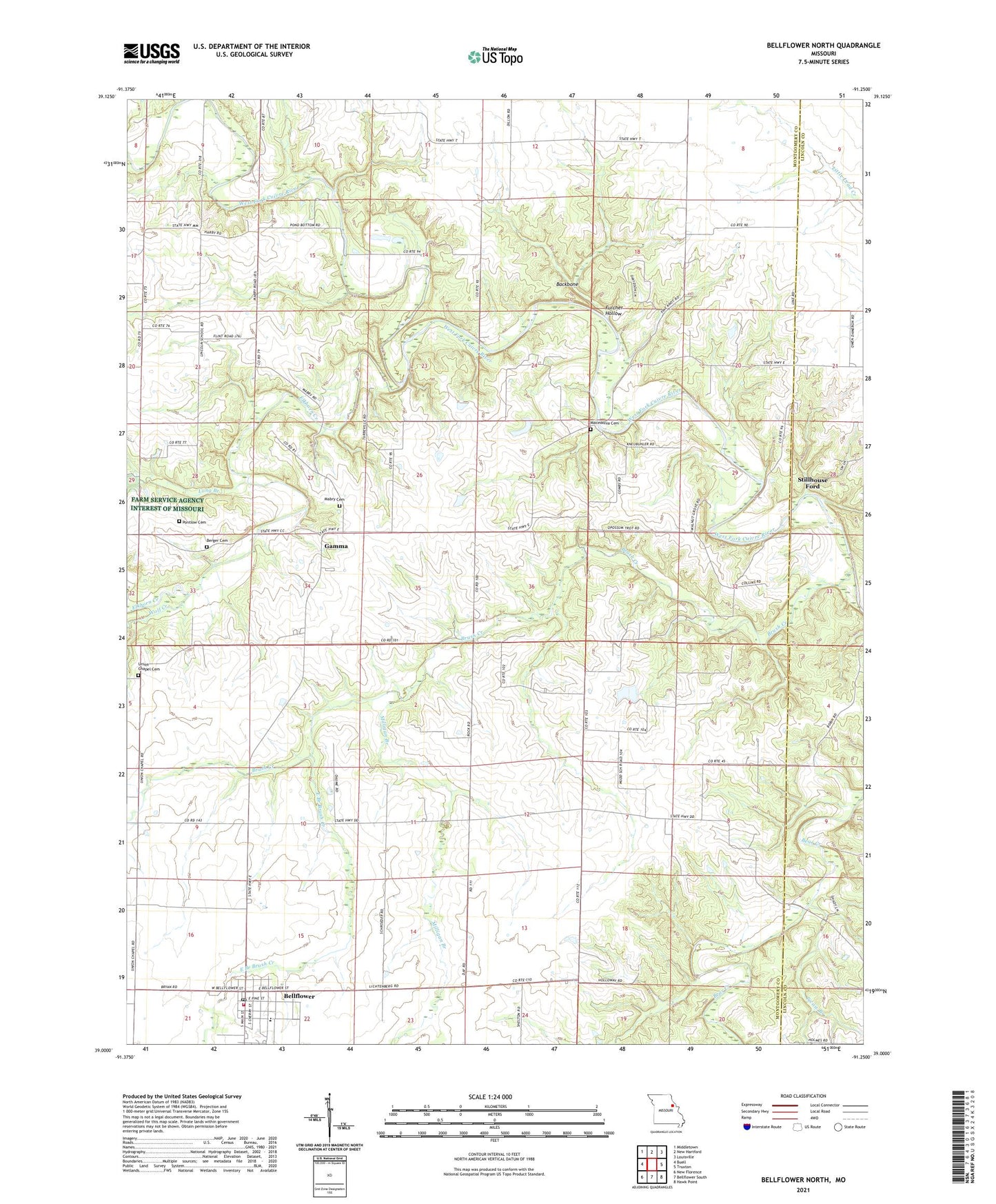
2021 topographic map quadrangle Bellflower North in the state of Missouri. Scale: 1:24000. Based on the newly updated USGS 7.5' US Topo map series, this map is in the following counties: Montgomery, Lincoln. The map contains contour data, water features, and other items you are used to seeing on USGS maps, but also has updated roads and other features. This is the next generation of topographic maps. Printed on high-quality waterproof paper with UV fade-resistant inks.
Quads adjacent to this one:
West: Buell
Northwest: Middletown
North: New Hartford
Northeast: Louisville
East: Truxton
Southeast: Hawk Point
South: Bellflower South
Southwest: New Florence
This map covers the same area as the classic USGS quad with code o39091a3.
Contains the following named places: Backbone, Bellflower, Bellflower Elementary School, Bellflower Post Office, Bellflower Volunteer Fire Protection District, Berger Cemetery, Brush Creek, Brush Creek Church, City of Bellflower, Dillon School, East Branch Brush Creek, Elkhorn Creek, Fulcher Hollow, Gamma, Hawkins Dam, Horeb Presbyterian Church, Lincoln School, Long Branch, Mabry Cemetery, Macedonia Cemetery, Macedonia Church, Maple Grove School, Milligan Branch, Milligan School, Mudd School, Picnic Branch, Pine Knot School, Pontlow Cemetery, Prairie Flower School, Stillhouse Ford, Township of Prairie, Union Chapel Cemetery, Walnut Grove Church, Wolf Creek, ZIP Code: 63333