MyTopo
Billings Missouri US Topo Map
Couldn't load pickup availability
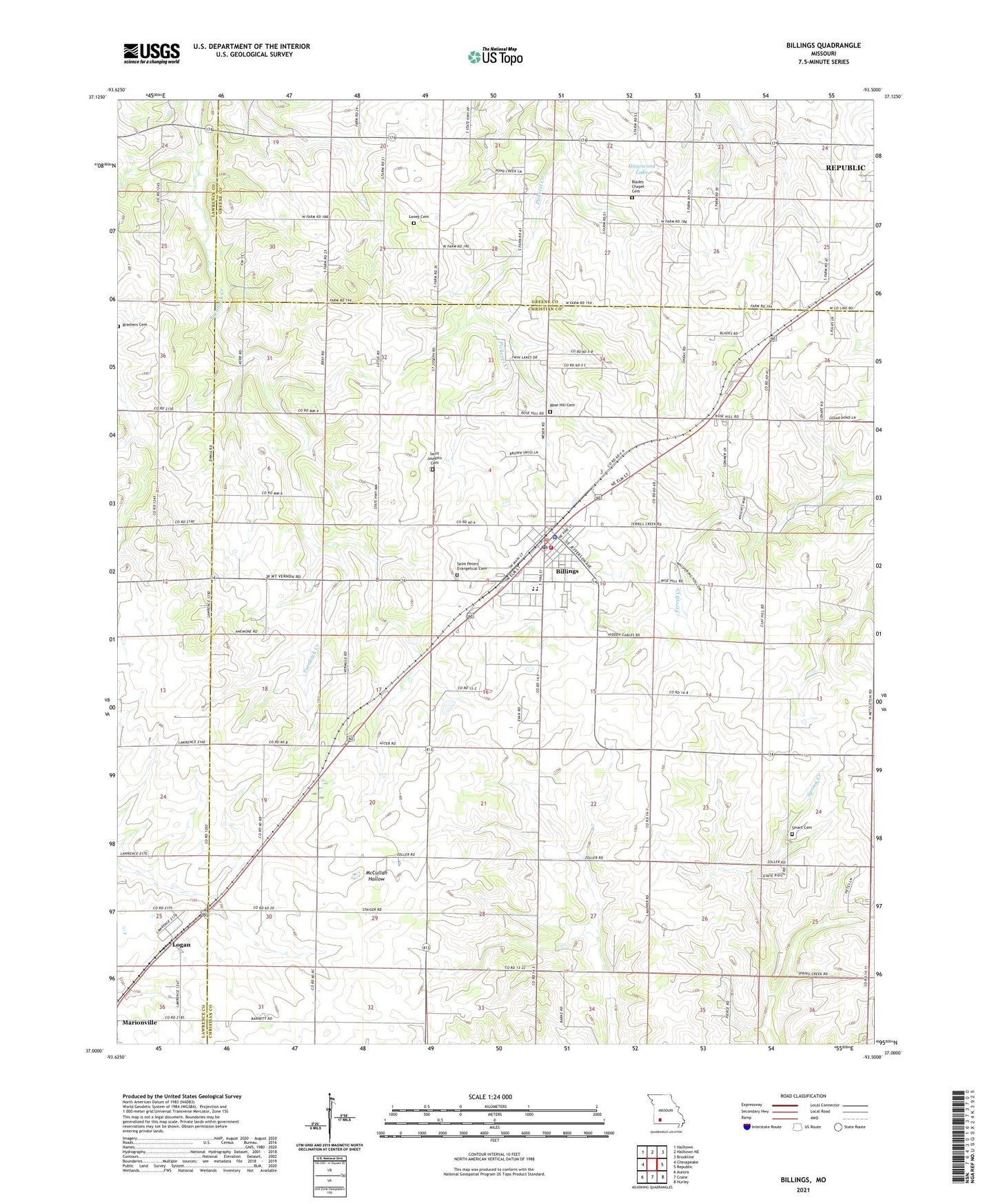
2021 topographic map quadrangle Billings in the state of Missouri. Scale: 1:24000. Based on the newly updated USGS 7.5' US Topo map series, this map is in the following counties: Christian, Greene, Lawrence. The map contains contour data, water features, and other items you are used to seeing on USGS maps, but also has updated roads and other features. This is the next generation of topographic maps. Printed on high-quality waterproof paper with UV fade-resistant inks.
Quads adjacent to this one:
West: Chesapeake
Northwest: Halltown
North: Halltown NE
Northeast: Brookline
East: Republic
Southeast: Hurley
South: Crane
Southwest: Aurora
This map covers the same area as the classic USGS quad with code o37093a5.
Contains the following named places: Anderson School, Billings, Billings Fire Protection District Station 1, Billings Police Department, Billings Post Office, Billings School, Blades Chapel, Blakes School, Brashers Cemetery, Camp Lenape, Center School, City of Billings, Curtis Chapel, French Valley School, Hagewood Lake, Hagewood Lake Dam, Herndon Orchard Airport, Lane School, Laney Cemetery, Logan, Oak Hill School, Rose Hill Cemetery, Saint Joe School, Saint Joseph's Cemetery, Saint Peters Evangelical Cemetery, Smart Cemetery, Smart School, Sodom School, Tiede School, Township of East Polk, Township of Polk, Township of West Polk, ZIP Code: 65610