MyTopo
Centralia Missouri US Topo Map
Couldn't load pickup availability
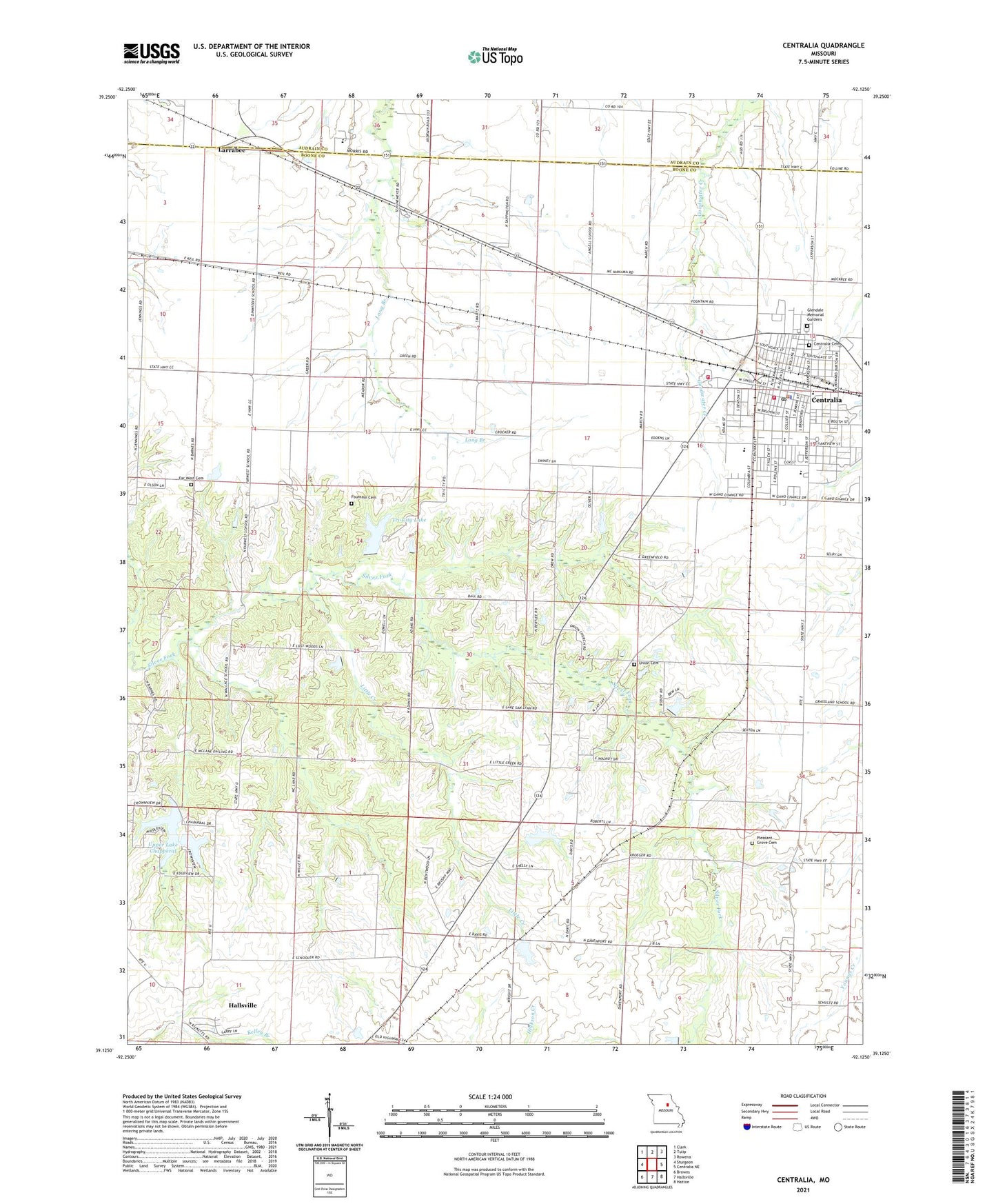
2021 topographic map quadrangle Centralia in the state of Missouri. Scale: 1:24000. Based on the newly updated USGS 7.5' US Topo map series, this map is in the following counties: Boone, Audrain. The map contains contour data, water features, and other items you are used to seeing on USGS maps, but also has updated roads and other features. This is the next generation of topographic maps. Printed on high-quality waterproof paper with UV fade-resistant inks.
Quads adjacent to this one:
West: Sturgeon
Northwest: Clark
North: Tulip
Northeast: Rowena
East: Centralia NE
Southeast: Hatton
South: Hallsville
Southwest: Browns
Contains the following named places: A B Chance Company Heliport, Angell School, Boone County Fire District Station 10, Bunns Lake East Dam, Bunns Lake West Dam, Bush, Bush School, Centralia, Centralia Cemetery, Centralia Fire Department, Centralia Fire Department Station 1, Centralia High School, Centralia Intermediate School, Centralia Police Department, Centralia Post Office, Chance Airport, Chance Elementary School, Chester Boren Middle School, City of Centralia, Dinwiddie School, Dunbar School, Far West Cemetery, Far West School, Forrest Lake Dam, Fountain Cemetery, Fountain Lake Dam, Glendale Memorial Gardens, Good Shepherd Church, Grassland School, KMFC-FM (Centralia), Larrabee, Little Creek, Little Dixie, Lower Lake Chapparel Dam, Montgomery Lake Dam, Musgraves Lake Dam, Pleasant Grove Cemetery, Roberts Lake Dam, Roberts School, Roddy Lake Dam, Schnarre Lake, Schnarre Lake Section 23 Dam, Schnarre Section 24 Dam, Sunnydale Academy, Township of Centralia, Tri-City Community Lake Dam, Tri-City Lake, Union Cemetery, Union School, Upper Lake Chapperal, Upper Lake Chapperal Dam, Wallace School, ZIP Code: 65240