MyTopo
Clark Missouri US Topo Map
Couldn't load pickup availability
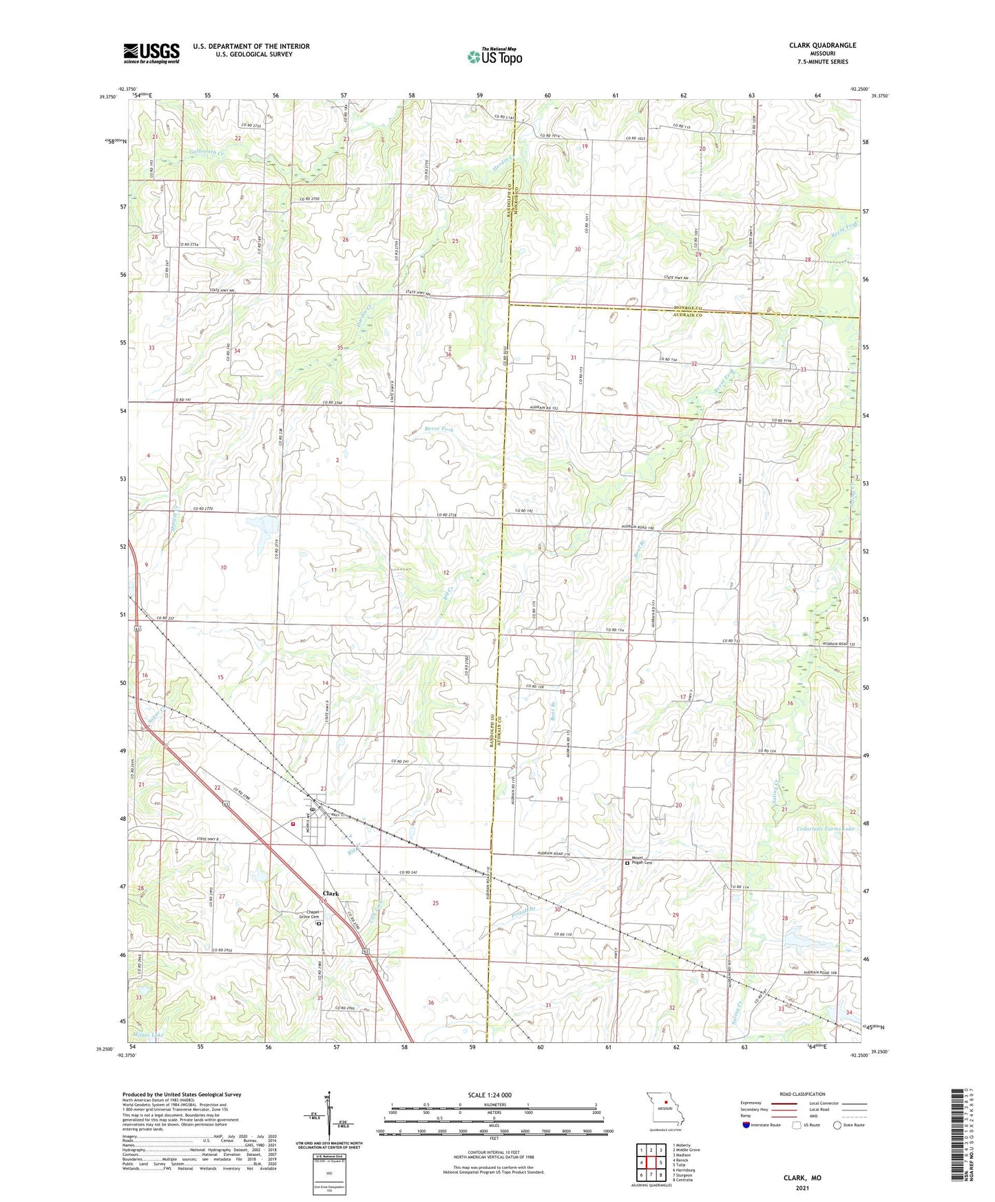
2021 topographic map quadrangle Clark in the state of Missouri. Scale: 1:24000. Based on the newly updated USGS 7.5' US Topo map series, this map is in the following counties: Randolph, Audrain, Monroe. The map contains contour data, water features, and other items you are used to seeing on USGS maps, but also has updated roads and other features. This is the next generation of topographic maps. Printed on high-quality waterproof paper with UV fade-resistant inks.
Quads adjacent to this one:
West: Renick
Northwest: Moberly
North: Middle Grove
Northeast: Madison
East: Tulip
Southeast: Centralia
South: Sturgeon
Southwest: Harrisburg
This map covers the same area as the classic USGS quad with code o39092c3.
Contains the following named places: Big Creek, Boat Branch, Bormet Lake Dam, Chapel Grove Cemetery, Chapel Grove School, City of Clark, Clark, Clark Post Office, Davenport, Davenport Post Office, Edwards School, Garrett School, Hanak Lake Dam, Harry Freeman Dam, Macedonia School, Martin Lake, Martin Lake Dam, Milnes Lake, Milnes Lake Dam, Mount Pisgah Cemetery, Mount Pisgah School, New Hope Church, Pisgah Baptist Church, Pisgah Branch, Pleasant Grove Church, Saling Creek, Southeastern Randolph Fire Protection District Clark, Vernon School, ZIP Code: 65243