MyTopo
Cherryville Missouri US Topo Map
Couldn't load pickup availability
Also explore the Cherryville Forest Service Topo of this same quad for updated USFS data
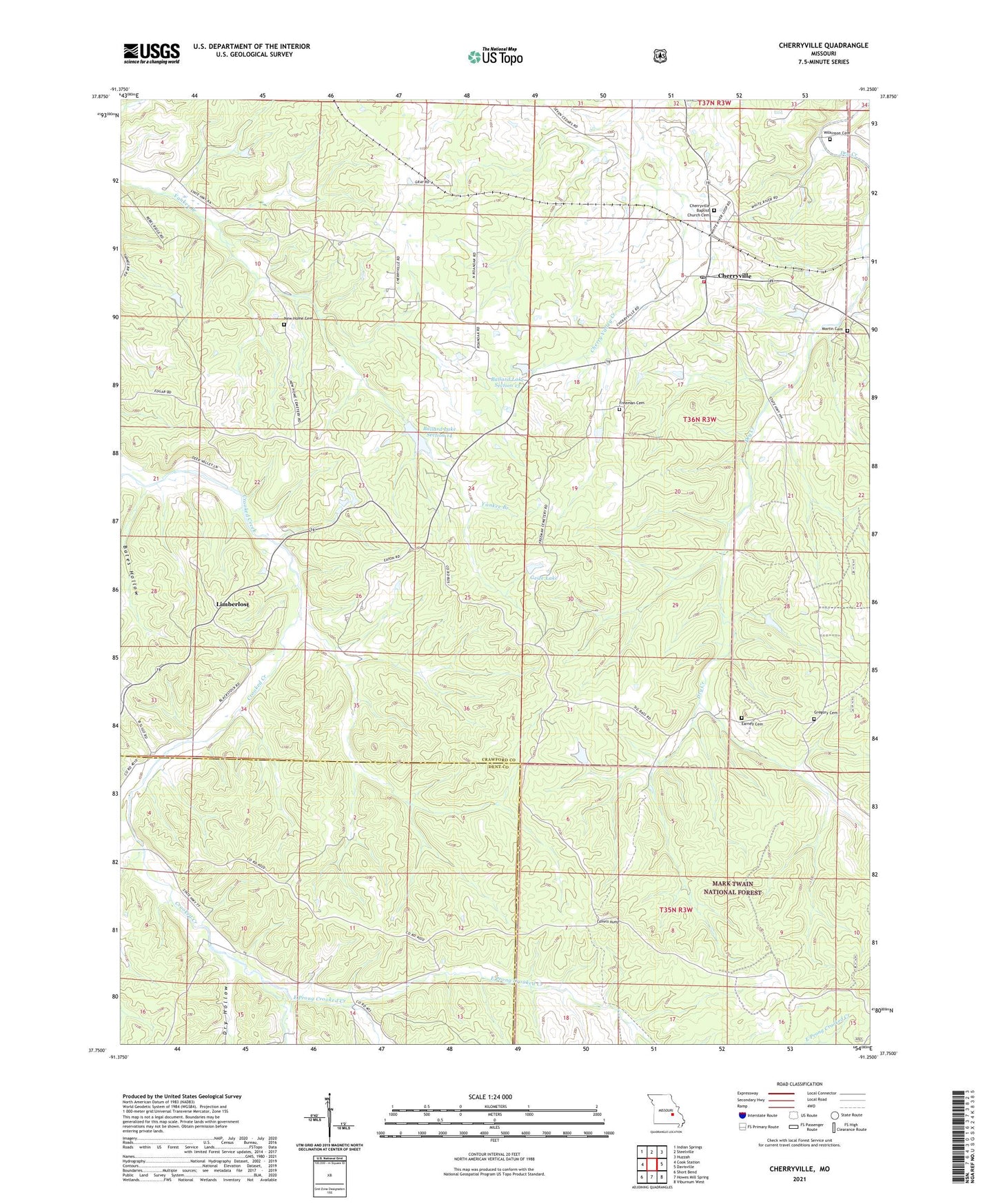
2021 topographic map quadrangle Cherryville in the state of Missouri. Scale: 1:24000. Based on the newly updated USGS 7.5' US Topo map series, this map is in the following counties: Crawford, Dent. The map contains contour data, water features, and other items you are used to seeing on USGS maps, but also has updated roads and other features. This is the next generation of topographic maps. Printed on high-quality waterproof paper with UV fade-resistant inks.
Quads adjacent to this one:
West: Cook Station
Northwest: Indian Springs
North: Steelville
Northeast: Huzzah
East: Davisville
Southeast: Viburnum West
South: Howes Mill Spring
Southwest: Short Bend
This map covers the same area as the classic USGS quad with code o37091g3.
Contains the following named places: Anderson Iron Bank, Asher Lake Dam, Ballard Lake Section 13, Ballard Lake Section 13 Dam, Ballard Lake Section 14, Ballard Lake Section 14 Dam, Bates Hollow, Benkey School, Camels Hump, Carson Iron Banks, Cherryville, Cherryville Post Office, Dry Creek Iron Bank, Dry Hollow, Earney Cemetery, Earney Mill, East Prong Crooked Creek, Eaton Lead Mine, Freeman Cemetery, Geize Lake, Geize Lake Dam, Gregory Cemetery, Henry Eaton School, Hibler Iron Bank, Hopewell Church, Hopewell School, Hubbman Lake, Hubbman Lake Dam, Key and Anderson Iron Mine, Key Iron Bank, Limberlost, Lincoln School, Martin Cemetery, Middle Prong Crooked Creek, Mountain Iron Mine, New Home Cemetery, New Home Church, Rees Iron Mine, Roanoke School, Rovald Iron Mine, Steelville Fire Protection District Station 2, Thompson Iron Mine, Wilkerson Iron Bank, Wilkinson Cemetery, ZIP Code: 65446