MyTopo
Viburnum West Missouri US Topo Map
Couldn't load pickup availability
Also explore the Viburnum West Forest Service Topo of this same quad for updated USFS data
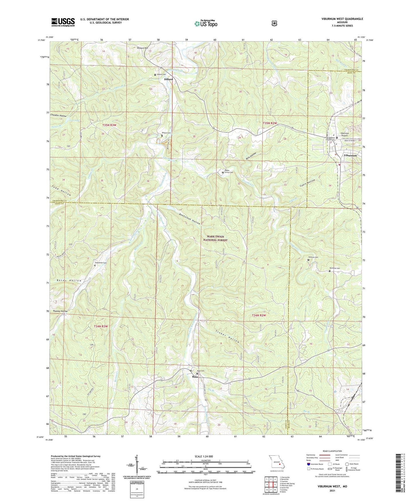
2021 topographic map quadrangle Viburnum West in the state of Missouri. Scale: 1:24000. Based on the newly updated USGS 7.5' US Topo map series, this map is in the following counties: Dent, Crawford, Iron. The map contains contour data, water features, and other items you are used to seeing on USGS maps, but also has updated roads and other features. This is the next generation of topographic maps. Printed on high-quality waterproof paper with UV fade-resistant inks.
Quads adjacent to this one:
West: Howes Mill Spring
Northwest: Cherryville
North: Davisville
Northeast: Courtois
East: Viburnum East
Southeast: Oates
South: Greeley
Southwest: Stone Hill
This map covers the same area as the classic USGS quad with code o37091f2.
Contains the following named places: Amax Impoundment A Dam, Barney Creek, Bates Hollow, Beefsteak Hollow, Big Branch, Bills Hollow, Boss, Boss Cemetery, Boss Post Office, Cabin Hollow, CCC Camp Boss, Chandler Hollow, City of Viburnum, Crooked Creek, Dillard, Dillard Cemetery, Dillard Hill, Dillard Mill State Historic Site, Dillard School, Dotson School, East Fork Huzzah Creek, Fiebelman Cemetery, Hedrick Cemetery, Indian Creek, James Branch, Little Branch, Lost Lake, Lower Viburnum School, Maple Grove Cemetery, Maple Grove Missionary Baptist Church, Moloc Smelter, Mononame 352 Dam, Mononame 41 Dam, Mononame 807 Dam, Mononame 808 Dam, Quad County Fire Protection District Boss Station, Quad County Fire Protection District Main Station, Red Point, Reuben Smith Iron Bank, Richards Cemetery, Rocky Ford School, Rooney Hollow, Tinker Hollow, Todd Hollow, Township of Osage, Viburnum, Viburnum Airport, Viburnum Police Department, West Fork Huzzah Creek, ZIP Code: 65566


