MyTopo
Indian Springs Missouri US Topo Map
Couldn't load pickup availability
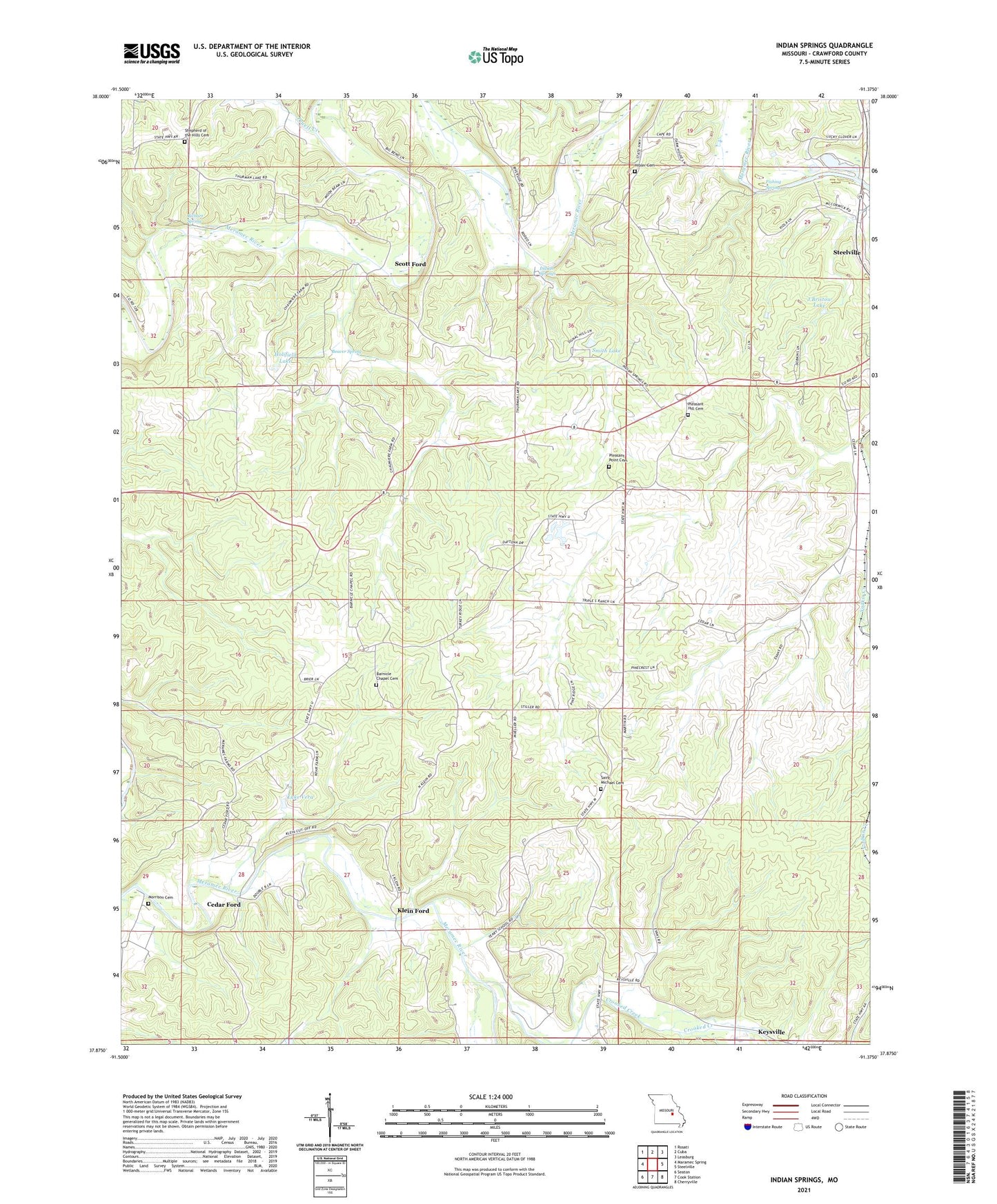
2021 topographic map quadrangle Indian Springs in the state of Missouri. Scale: 1:24000. Based on the newly updated USGS 7.5' US Topo map series, this map is in the following counties: Crawford. The map contains contour data, water features, and other items you are used to seeing on USGS maps, but also has updated roads and other features. This is the next generation of topographic maps. Printed on high-quality waterproof paper with UV fade-resistant inks.
Quads adjacent to this one:
West: Maramec Spring
Northwest: Rosati
North: Cuba
Northeast: Leasburg
East: Steelville
Southeast: Cherryville
South: Cook Station
Southwest: Seaton
This map covers the same area as the classic USGS quad with code o37091h4.
Contains the following named places: Barnicle Church, Beaver Spring, Big Bend School, Buffum Iron Mine, Cedar Ford, Clark and Halbert Iron Mine, Crooked Creek, Fishing Spring, Frumar Lake, Frumar Lake Dam, Gibbs State Wildlife Area, Hart Iron Mine, Hibler Cemetery, Highland School, Holifield Lake, Holifield Lake Dam, Houston School, Indian Springs, J Bristow Lake, J Bristow Lake Dam, Jones Branch, Keysville, Klein Ford, KNSX-FM (Steelville), Lake Vera, Lake Vera Dam, Lea and Marsh Iron Bank, Lead Branch Junction, Long Ridge School, Marsh Iron Mine, Morrison Cemetery, N.G. Clark and Companys Iron Bank, Number 860 Dam, Oak Ridge School, Peaceful Bend School, Pleasant Hill Church, Pleasant Point Church, Pleasant Valley School, Pruett Creek, Richart Spring, Riverside School, Riverview Public Access Area, Riverview Roadside Park, Scott Ford, Seay and Marsh Iron Mine, Seay Iron Mine, Seidl Lake, Seidl Lake Dam, Shepherd of the Hills Cemetery, Smith Lake, Smith Lake Dam, Steelville Iron Mine, Steelville Number One Iron Bank, Steelville Number two Iron Bank, Thousand Oaks, Township of Meramec, Whispering Winds Church, Woodson K Woods State Memorial Wildlife Area, Yadkin Creek, Yeary School


