MyTopo
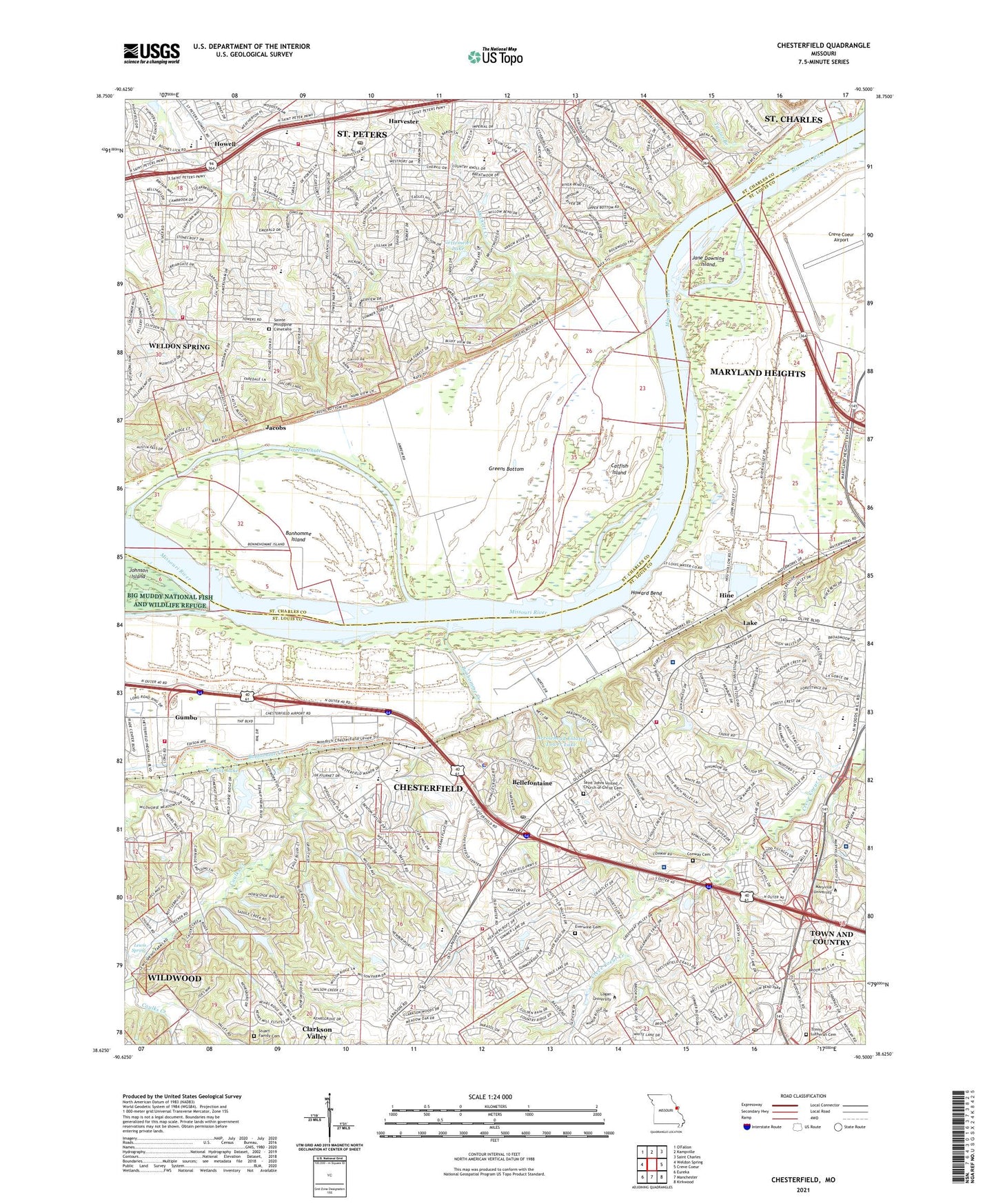
Chesterfield Missouri US Topo Map
Couldn't load pickup availability
2021 topographic map quadrangle Chesterfield in the state of Missouri. Scale: 1:24000. Based on the newly updated USGS 7.5' US Topo map series, this map is in the following counties: St. Louis, St. Charles. The map contains contour data, water features, and other items you are used to seeing on USGS maps, but also has updated roads and other features. This is the next generation of topographic maps. Printed on high-quality waterproof paper with UV fade-resistant inks.
Quads adjacent to this one:
West: Weldon Spring
Northwest: O'Fallon
North: Kampville
Northeast: Saint Charles
East: Creve Coeur
Southeast: Kirkwood
South: Manchester
Southwest: Eureka
This map covers the same area as the classic USGS quad with code o38090f5.
Contains the following named places: Anheuser-Bush Academic Center, Arrowhead Airport, Arrowhead Estates Lower Dam, Arrowhead Estates Lower Lake, Arrowhead Estates Upper Dam, Barnwell Middle School, Becky-David Elementary School, Bellefontaine, Bellefontaine School, Bonhomme Church, Bonhomme Creek, Bonhomme Island, Castlio Elementary School, Catfish Island, Caulks Creek, Central County Fire and Rescue Station 6, Central Elementary School, Central High School, Central Middle School, Chesterfield, Chesterfield City Police Department, Chesterfield Mall, Chesterfield Post Office, Chesterfield School, City of Chesterfield, City of Clarkson Valley, Claymont Woods Lake Dam, Clayton Village Shopping Center, Conway Cemetery, Cottleville Community Fire Protection District Station 2, Cottleville Community Fire Protection District Station 4, Creve Coeur Airport, Dierbergs Marketplace Shopping Center, Draville School, Duchesne Residence Hall, Duckett Creek, Duckett Creek Sanitation District Treatment Plant Number 1, Early Childhood Family Education Center - Central School Road, Everwine Cemetery, Fairmount School, Fienup Lake, Forum Center, Four Seasons Shopping Center, Gander Hall Administration Building, Gettemeier Lake, Gettemeier Lake Dam, Green Trails Elementary School, Greens Bottom, Greens Chute, Gumbo, Gumbo Church, Harvester, Harvester Square Shopping Center, Highcroft Ridge Elementary School, Hine, Hollenbeck Middle School, Holts Lake Dam, Howard Bend, Howell, Huttig Chapel, Jacobs, Jane Downing Island, Kehrs Mill Trail East Lake Dam, Kehrs Mill Trail Lower Lake Dam, Kehrs Mill Trails Upper Lake Dam, Lake, Lake Post Commons Dam, Lewis Spring, Maryville University of Saint Louis, McNalley House, Mercy Rehabilitation Hospital Saint Louis, Mertz Lake Dam, Miller, Monarch Fire Protection District Station 1, Monarch Fire Protection District Station 4, Monarch Fire Protection District Station 5, Mouton Residence Hall, Raewood Lake Dam, Reid Hall of Liberal Arts, River Bend Elementary School, Saint Charles South Post Office, Saint Johns Church, Saint Johns United Church of Christ Cemetery, Saint Louis City Waterworks, Saint Luke's Hospital, Saint Thomas Church, Sainte Philippine Cimetiere, Shenandoah Valley Elementary School, Simon Athletic Center, Stevens, Taylor Branch, The Bluffs Lake Dam, The Lamp and Lantern Village, The Lamp and Lantern Village Shopping Center, Town and Country Post Office, Township of Harvester, Trinity Church, Union School, W G Fienup Lake Dam, West Branch Caulks Creek, Wild Horse Elementary School, Woods Mill Center, Zion Lutheran School, ZIP Codes: 63017, 63303


