MyTopo
Dixon Missouri US Topo Map
Couldn't load pickup availability
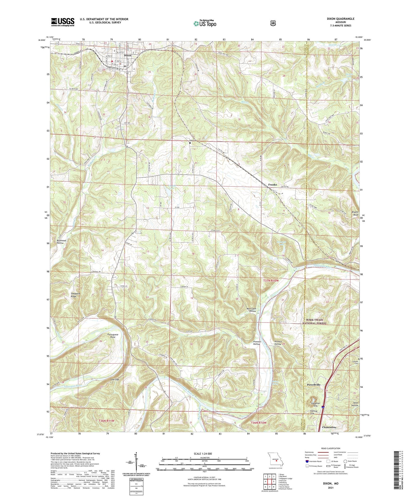
2021 topographic map quadrangle Dixon in the state of Missouri. Scale: 1:24000. Based on the newly updated USGS 7.5' US Topo map series, this map is in the following counties: Pulaski, Phelps. The map contains contour data, water features, and other items you are used to seeing on USGS maps, but also has updated roads and other features. This is the next generation of topographic maps. Printed on high-quality waterproof paper with UV fade-resistant inks.
Quads adjacent to this one:
West: Hancock
Northwest: Brays
North: Big Bend
Northeast: Nagogami Lodge
East: Newburg
Southeast: Kaintuck Hollow
South: Devils Elbow
Southwest: Waynesville
Contains the following named places: Big Piney River, Blue Jay Farm, Boiling Spring, Bryant Bluff, Buckhead Hollow, Burnett School, Cardin Lake, Cardin Lake Dam, City of Dixon, Clementine, Conical Sink, Dennis Lake, Dennis Lake Dam, Dixon, Dixon Police Department, Dixon Post Office, Dixon Rural Fire Protection District, Egan Cemetery, Emerald Lake, Franks, Gaddy School, Goodall Cemetery, Gospel Tabernacle Church, Hickory Hollow, Highpoint School, Idumea Baptist Church, Jones Creek, Lone Star School, Lone Star Tract State Forest, Low Gap, Mazzaville Resort, McMakin Creek, Mill Creek, Mud Cave Hollow, Piney End Resort, Pisgah Church, Pisgah School, Portuguese Point, Powellville, Prewett Hollow, Sheppard Church, Sheppard Ridge, Sheppard School, Slaughter Sink, Tabor School, Three Island Resort, Township of Union