MyTopo
Kaintuck Hollow Missouri US Topo Map
Couldn't load pickup availability
Also explore the Kaintuck Hollow Forest Service Topo of this same quad for updated USFS data
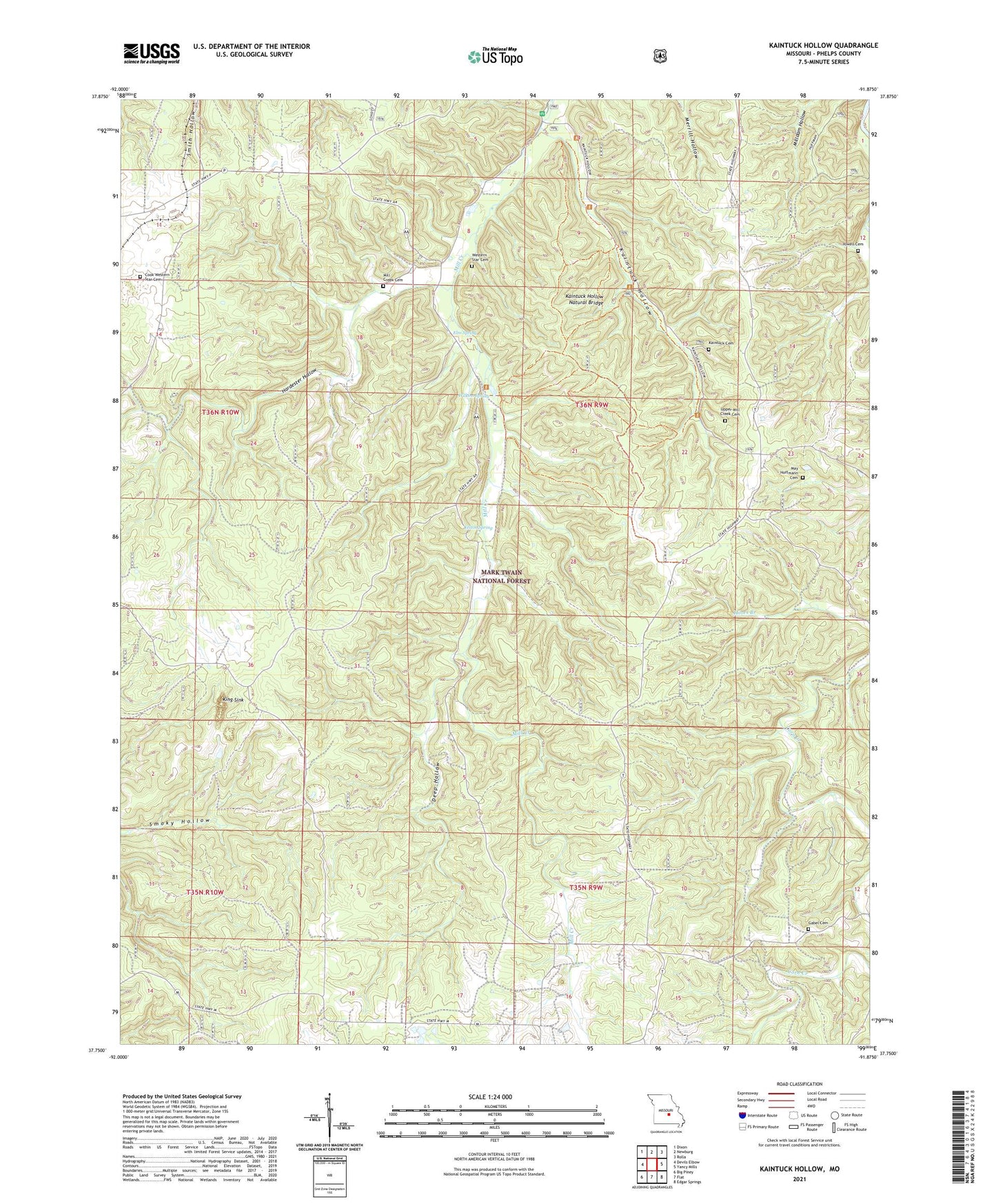
2021 topographic map quadrangle Kaintuck Hollow in the state of Missouri. Scale: 1:24000. Based on the newly updated USGS 7.5' US Topo map series, this map is in the following counties: Phelps. The map contains contour data, water features, and other items you are used to seeing on USGS maps, but also has updated roads and other features. This is the next generation of topographic maps. Printed on high-quality waterproof paper with UV fade-resistant inks.
Quads adjacent to this one:
West: Devils Elbow
Northwest: Dixon
North: Newburg
Northeast: Rolla
East: Yancy Mills
Southeast: Edgar Springs
South: Flat
Southwest: Big Piney
This map covers the same area as the classic USGS quad with code o37091g8.
Contains the following named places: Arroyo, Colen School, Cook Western Star Cemetery, Corn Creek Lookout Tower, Deep Hollow, Elm Spring, Gabel Cemetery, Hardester Hollow, Kaintuck Cemetery, Kaintuck Church, Kaintuck Hollow, Kaintuck Hollow Natural Bridge, Kaintuck School, Kaintuck Trail, King Sink, Knotwell Lookout Tower, May - Hoffmann Cemetery, Mill Creek Cemetery, Mill Creek Church, Mill Creek Picnic Area, Mill Creek Recreation Area, Pleasant Hill School, Township of Liberty, Upper Mill Creek Cemetery, Upper Mill Creek School, Vessie, West Hill School, Western Star Cemetery, Western Star School, Wilkins Spring, Yelton School, Yelton Spring, Yowell Cemetery, ZIP Code: 65550