MyTopo
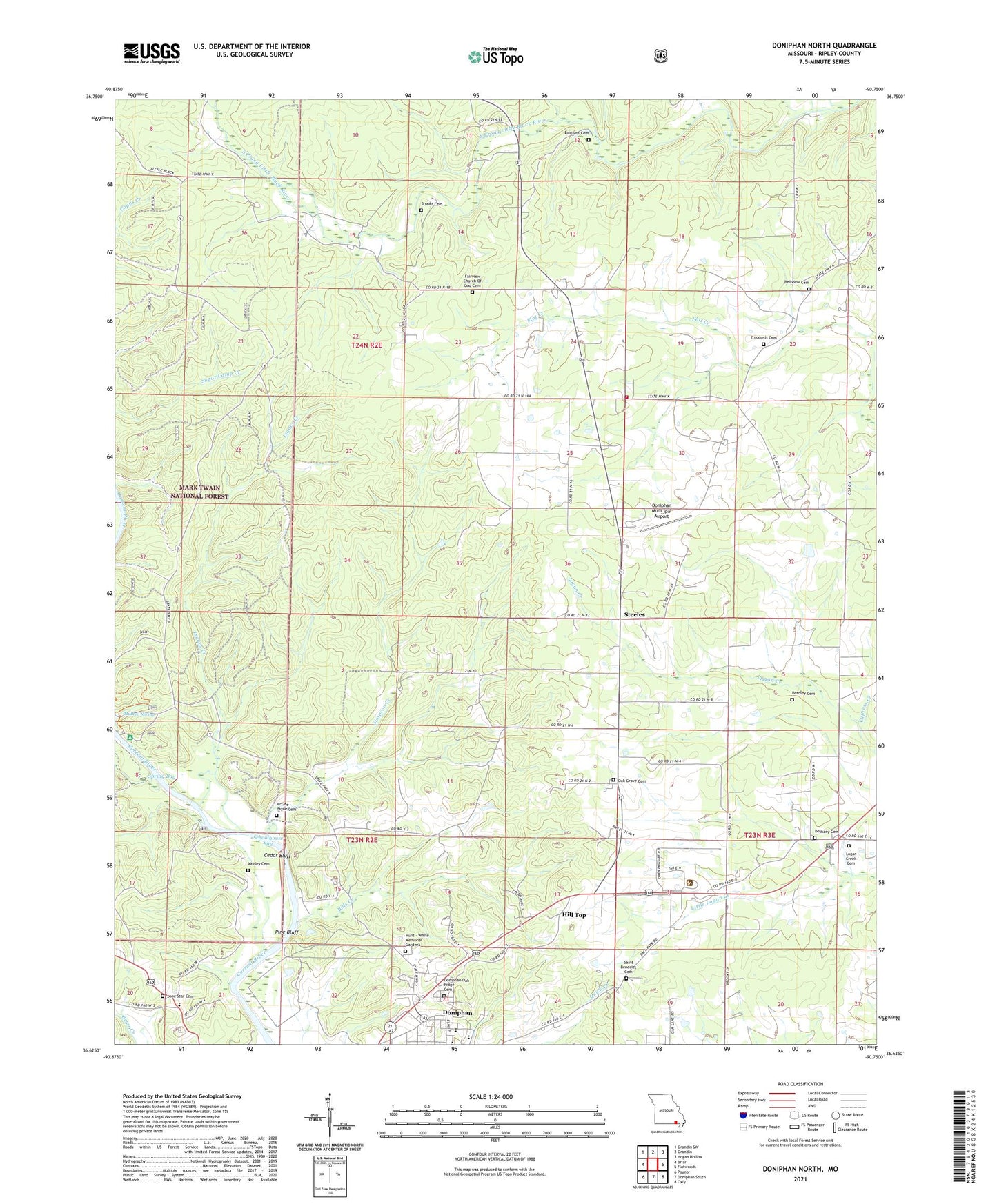
Doniphan North Missouri US Topo Map
Couldn't load pickup availability
Also explore the Doniphan North Forest Service Topo of this same quad for updated USFS data
2021 topographic map quadrangle Doniphan North in the state of Missouri. Scale: 1:24000. Based on the newly updated USGS 7.5' US Topo map series, this map is in the following counties: Ripley. The map contains contour data, water features, and other items you are used to seeing on USGS maps, but also has updated roads and other features. This is the next generation of topographic maps. Printed on high-quality waterproof paper with UV fade-resistant inks.
Quads adjacent to this one:
West: Briar
Northwest: Grandin SW
North: Grandin
Northeast: Hogan Hollow
East: Flatwoods
Southeast: Oxly
South: Doniphan South
Southwest: Poynor
This map covers the same area as the classic USGS quad with code o36090f7.
Contains the following named places: Barton Branch, Bay Mill Eddy, Bellview Church, Bethany Church, Bills Creek, Bradley Cemetery, Brooks Cemetery, Cedar Bluff, Church of God, Doniphan High School, Doniphan Lookout Tower, Doniphan Municipal Airport, Doniphan Oak Ridge Cemetery, Elizabeth Cemetery, Emerald Lake, Emerald Lake Dam, Emmons Cemetery, Fairview School, Fernhook, Fernook Post Office, Float Camp Recreation Area, Highview School, Highway K Volunteer Fire Department, Hill Top, Isaacs Creek, Kingdom Hall, Kirby Dam, Little Black State Forest, Lone Star Cemetery, Lone Star East School, Lone Star School, Malden Spring, Mark Twain National Forest 11 Point Ranger District Doniphan, Matthews School, McGee - Payne Cemetery, Missouri Department of Conservation Forestry Ozark Regional Field Fire Office Doniphan, Mount Elizabeth Church, Mount Pleasant Church, Oak Grove Cemetery, Oak Grove Church, Oak Grove East School, Pine Bluff, Pleasant Grove, Pleasant Grove Post Office, Pleasant Grove School, Rancho Rio Landing Strip, Ripley County, Saint Benedict Cemetery, Schoolhouse Bay, Simpson Creek, Simpson Creek School, Spring Bay, Steeles, The Nook, Township of Doniphan, Worley Cemetery, Worley Rock


