MyTopo
Drynob Missouri US Topo Map
Couldn't load pickup availability
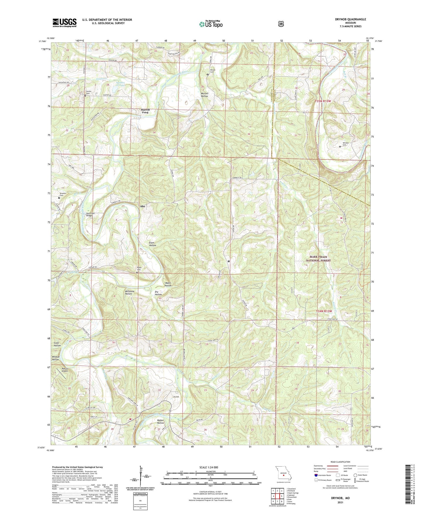
2021 topographic map quadrangle Drynob in the state of Missouri. Scale: 1:24000. Based on the newly updated USGS 7.5' US Topo map series, this map is in the following counties: Laclede, Pulaski. The map contains contour data, water features, and other items you are used to seeing on USGS maps, but also has updated roads and other features. This is the next generation of topographic maps. Printed on high-quality waterproof paper with UV fade-resistant inks.
Quads adjacent to this one:
West: Oakland
Northwest: Stoutland
North: Richland
Northeast: Ozark Springs
East: Brownfield
Southeast: Winnipeg
South: Drew
Southwest: Russ
Contains the following named places: Abo, Abo Post Office, Atoka, Atoka Post Office, Basin Hollow, Bell Branch, Brandon Cemetery, Celeste, Celeste Post Office, Cole Creek, Core Creek, Crooked Creek, Crossroads Church, Crossroads School, Dry Hollow, Drynob, Dunlap Lake Dam, Elam Hollow, Flynn, Harrill Ford, Hull Ford Bridge, Joe Branch, Matzie Airport, McGee Lake Dam, Mill Creek, Millstone Hollow, Mount Pleasant Church, Mount Salem Church, Mount Salem School, Murrell Hollow, Nebo Falcon Rural Volunteer Fire Department Station 2, Nebo Falcon Rural Volunteer Fire Department Station 4, North Cobb Creek, North Fork Crooked Creek, Number 55 Lake, Oakland School, Prairie Creek, Prairie Creek School, Rippy Cemetery, Rippy School, Similin Cemetery, Similin Creek, Similin School, South Fork Crooked Creek, Stockade Church, Stockdale School, Stohr Lake Dam, Sunny View Church, Township of Osage, Walker Hollow, Wilson Cemetery, Wood Creek, Wrinkle Cemetery