MyTopo
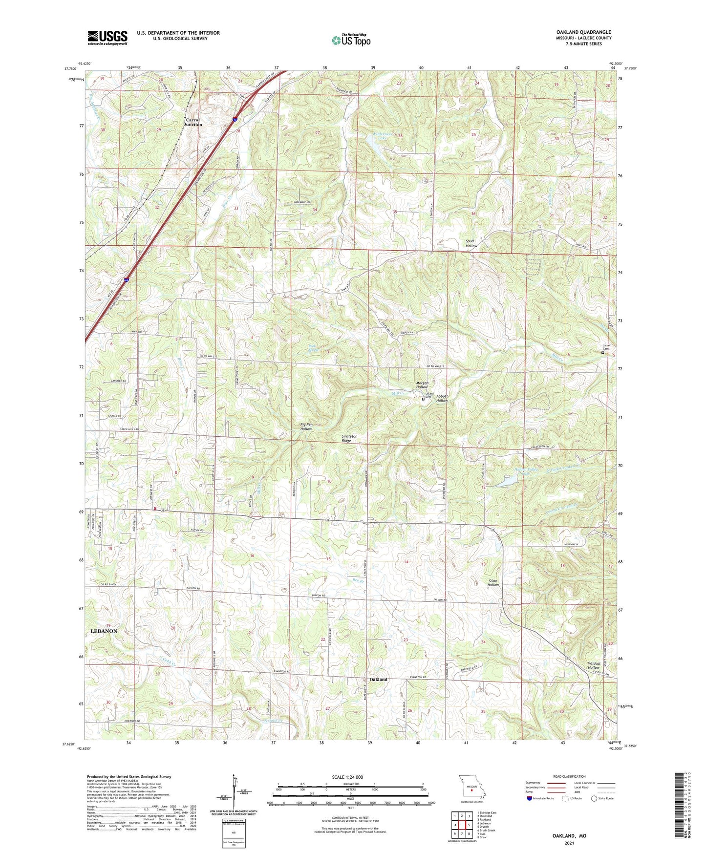
Oakland Missouri US Topo Map
Couldn't load pickup availability
2021 topographic map quadrangle Oakland in the state of Missouri. Scale: 1:24000. Based on the newly updated USGS 7.5' US Topo map series, this map is in the following counties: Laclede. The map contains contour data, water features, and other items you are used to seeing on USGS maps, but also has updated roads and other features. This is the next generation of topographic maps. Printed on high-quality waterproof paper with UV fade-resistant inks.
Quads adjacent to this one:
West: Lebanon
Northwest: Eldridge East
North: Stoutland
Northeast: Richland
East: Drynob
Southeast: Drew
South: Russ
Southwest: Brush Creek
This map covers the same area as the classic USGS quad with code o37092f5.
Contains the following named places: Abbott Hollow, Antioch Church, Bacon School, Bear Creek School, Bear Creek State Forest, Bee Branch School, Carrol Junction, Cook School, Coon Hollow, Dalton School, Detherage Church, Detherage School, Hidden Valley Lake, Hidden Valley Lake Dam, Jarrell Cemetery, Knob School, Laclede County, Lebanon Rural Fire Protection District Station 2, Lillard Cemetery, Marvin Church, Mayfield School, Mill Creek Church, Mill Creek School, Morgan Hollow, Mount Olivette Church, Oakland, Oakland Church, Pig Pen Hollow, Ridgewood Post Office, Ridgewoods, Rock Spring, Singleton Ridge, South Fork North Cobb Creek, Thomas Chapel, Wildcat Hollow, Wilderness Lake, Wilderness Lake Dam


