MyTopo
Duncan Missouri US Topo Map
Couldn't load pickup availability
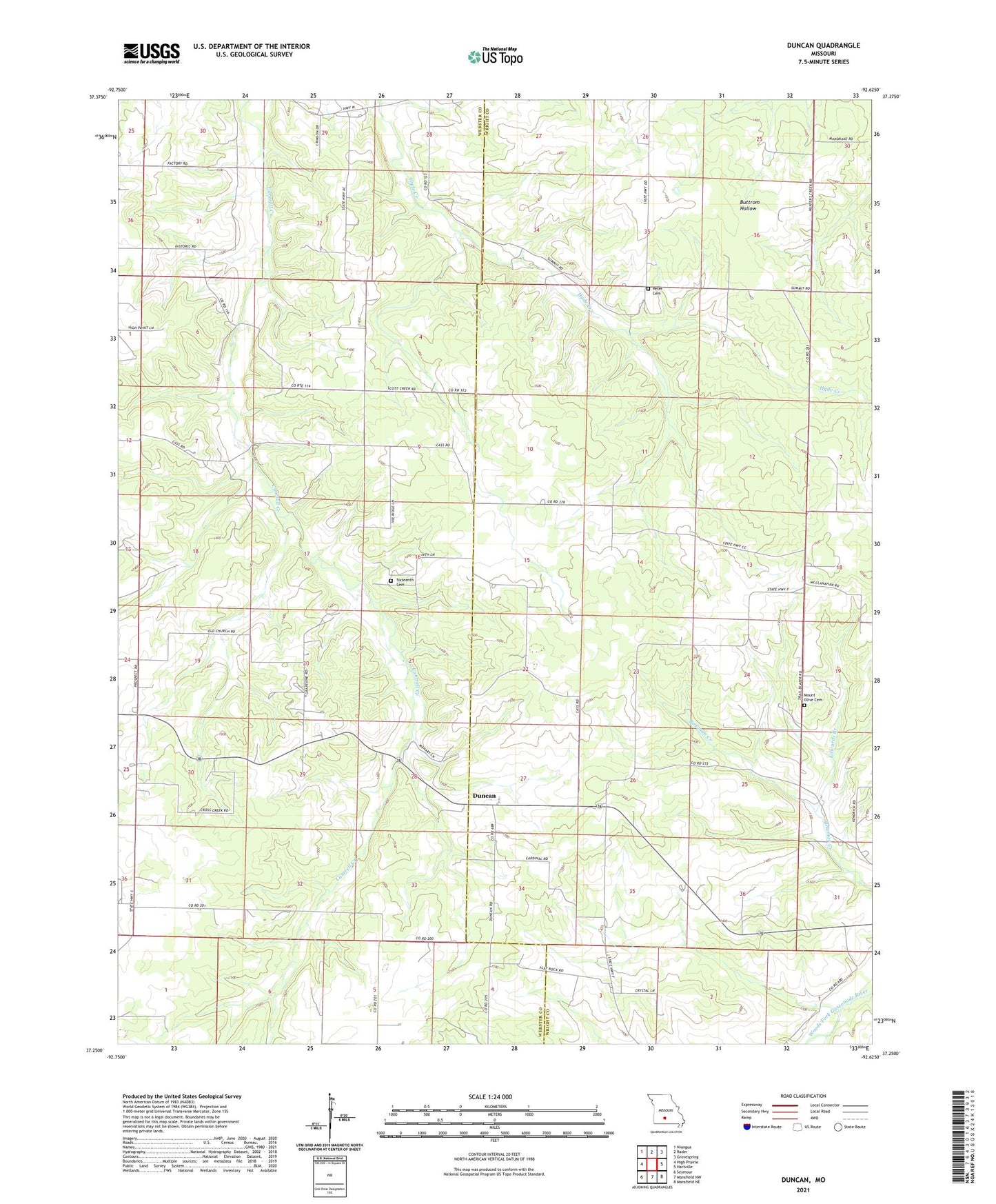
2021 topographic map quadrangle Duncan in the state of Missouri. Scale: 1:24000. Based on the newly updated USGS 7.5' US Topo map series, this map is in the following counties: Wright, Webster. The map contains contour data, water features, and other items you are used to seeing on USGS maps, but also has updated roads and other features. This is the next generation of topographic maps. Printed on high-quality waterproof paper with UV fade-resistant inks.
Quads adjacent to this one:
West: High Prairie
Northwest: Niangua
North: Rader
Northeast: Grovespring
East: Hartville
Southeast: Mansfield NE
South: Mansfield NW
Southwest: Seymour
Contains the following named places: Duncan, Edwards Branch, Fairview Church, Fairview School, Hiatt, Hiatt Post Office, High Point Church, High Point School, Lawrence Brixey Dam, Mount Dale School, Mount Olive Cemetery, Mount Zion Church, Nation School, Petet Cemetery, Prospect Church, Prospect School, Sixteenth Cemetery, Sixteenth Church, Summit School, Sunrise School, Washington School