
MyTopo
Edina SE Missouri US Topo Map
Couldn't load pickup availability
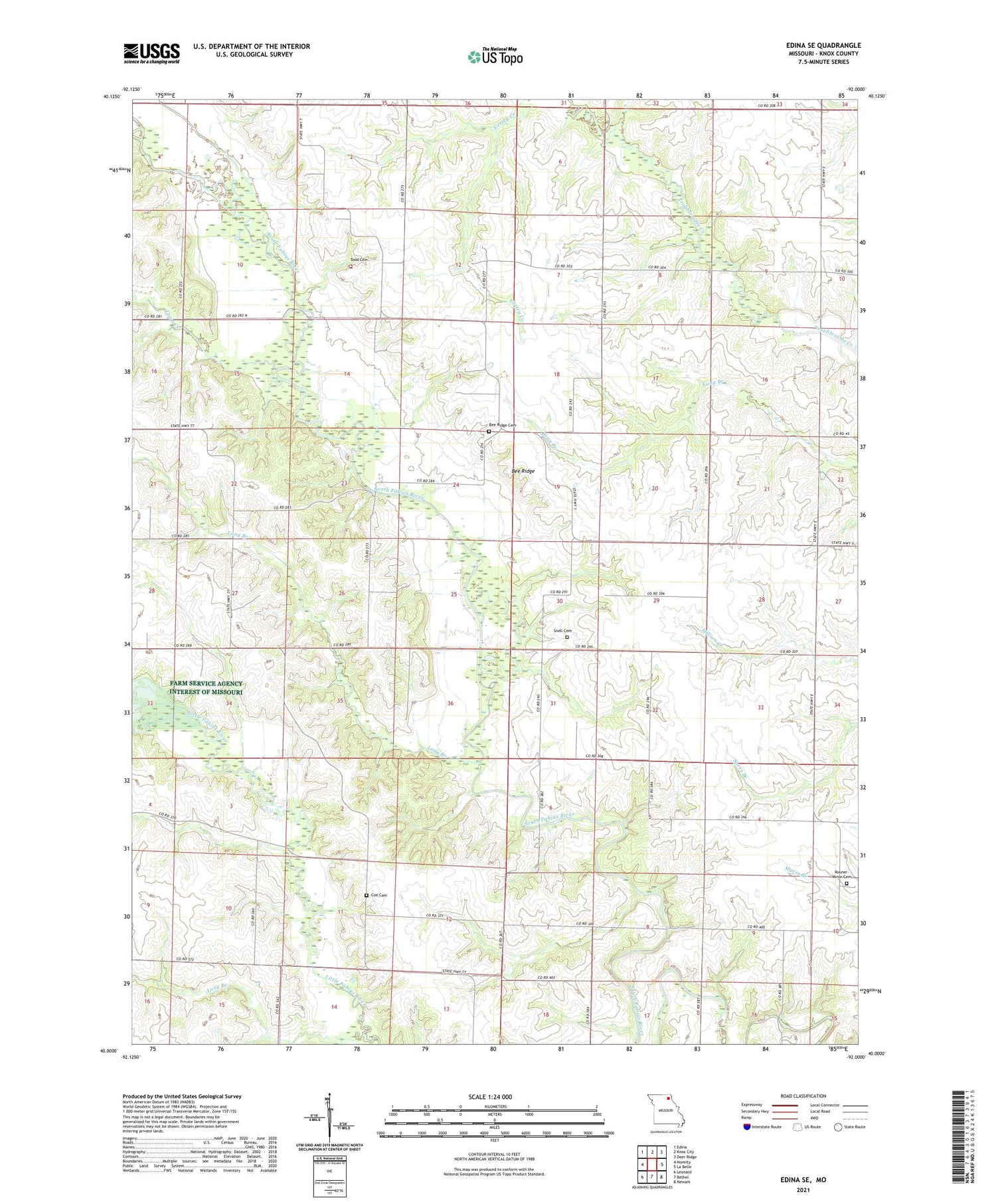
2021 topographic map quadrangle Edina SE in the state of Missouri. Scale: 1:24000. Based on the newly updated USGS 7.5' US Topo map series, this map is in the following counties: Knox. The map contains contour data, water features, and other items you are used to seeing on USGS maps, but also has updated roads and other features. This is the next generation of topographic maps. Printed on high-quality waterproof paper with UV fade-resistant inks.
Quads adjacent to this one:
West: Novelty
Northwest: Edina
North: Knox City
Northeast: Deer Ridge
East: La Belle
Southeast: Newark
South: Bethel
Southwest: Leonard
Contains the following named places: Bee Ridge, Bee Ridge Cemetery, Bee Ridge Church, Bee Ridge School, Bishop School, Center Ridge School, Coe Cemetery, Coe School, Coon Creek, Long Branch, Miller Lake, Miller Lake Dam, Oklahoma School, Ross School, Rouner-Minor Cemetery, Snell Cemetery, Todd Cemetery, Township of Bee Ridge, Township of Jeddo, Wamsley Lake, Wamsley Lake Dam, Yankee Street School


