MyTopo
Elk Creek Missouri US Topo Map
Couldn't load pickup availability
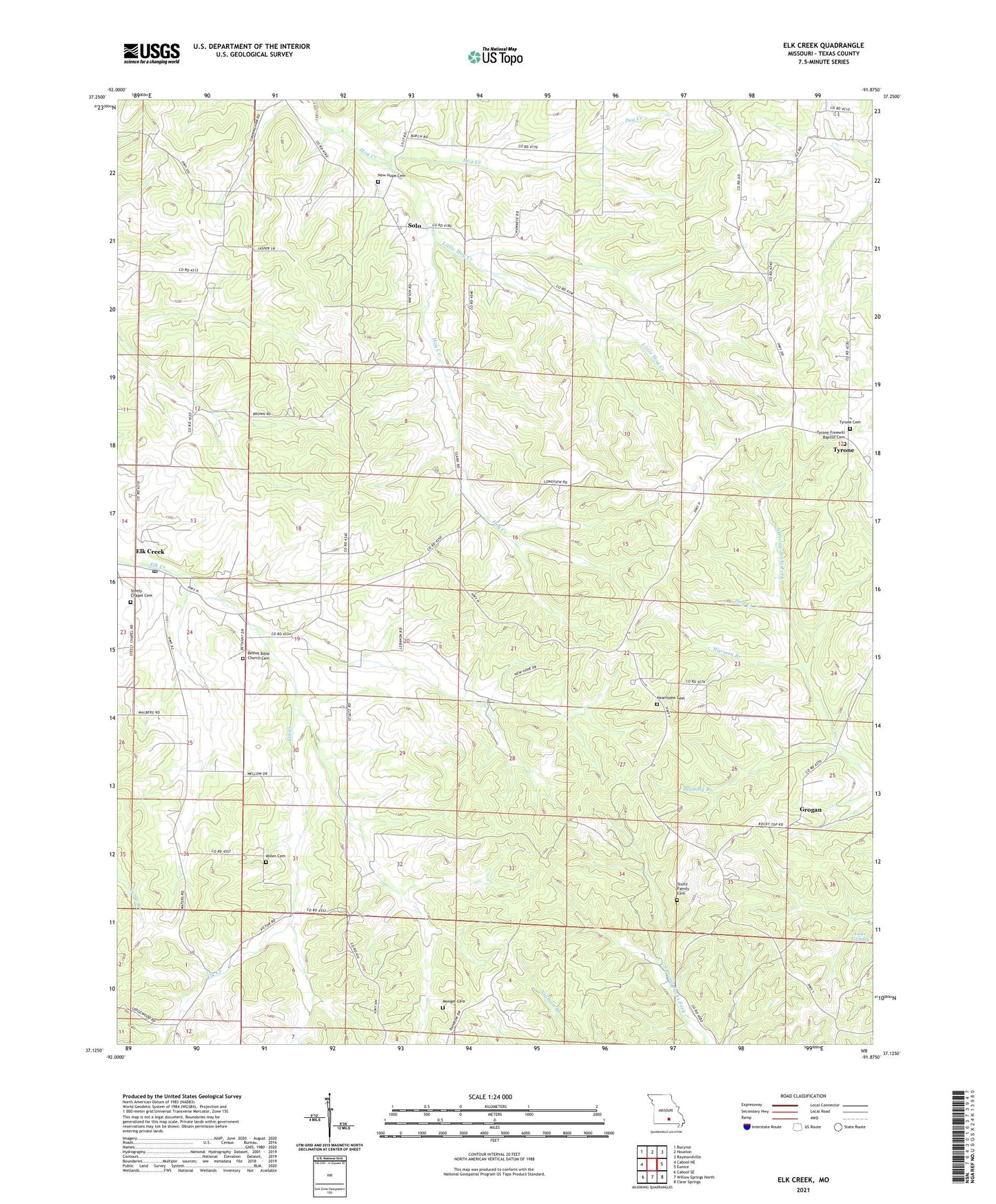
2021 topographic map quadrangle Elk Creek in the state of Missouri. Scale: 1:24000. Based on the newly updated USGS 7.5' US Topo map series, this map is in the following counties: Texas. The map contains contour data, water features, and other items you are used to seeing on USGS maps, but also has updated roads and other features. This is the next generation of topographic maps. Printed on high-quality waterproof paper with UV fade-resistant inks.
Quads adjacent to this one:
West: Cabool NE
Northwest: Bucyrus
North: Houston
Northeast: Raymondville
East: Eunice
Southeast: Clear Springs
South: Willow Springs North
Southwest: Cabool SE
Contains the following named places: Antioch Church, Assembly of God Church, Bethany Church, Dog Creek, Elk Creek, French School, Grand View Church, Grand View School, Greenhill School, Grogan, Grogan School, Harmon Branch, Lake Gemay Dam, Lebanon School, Little Hog Creek, Louisa, Louisa Post Office, Nearhome Cemetery, Peabody Branch, Pleasant Hill School, Solo, Steely Chapel, Stultz, Township of Cass, Tyrone, ZIP Codes: 65464, 65564