MyTopo
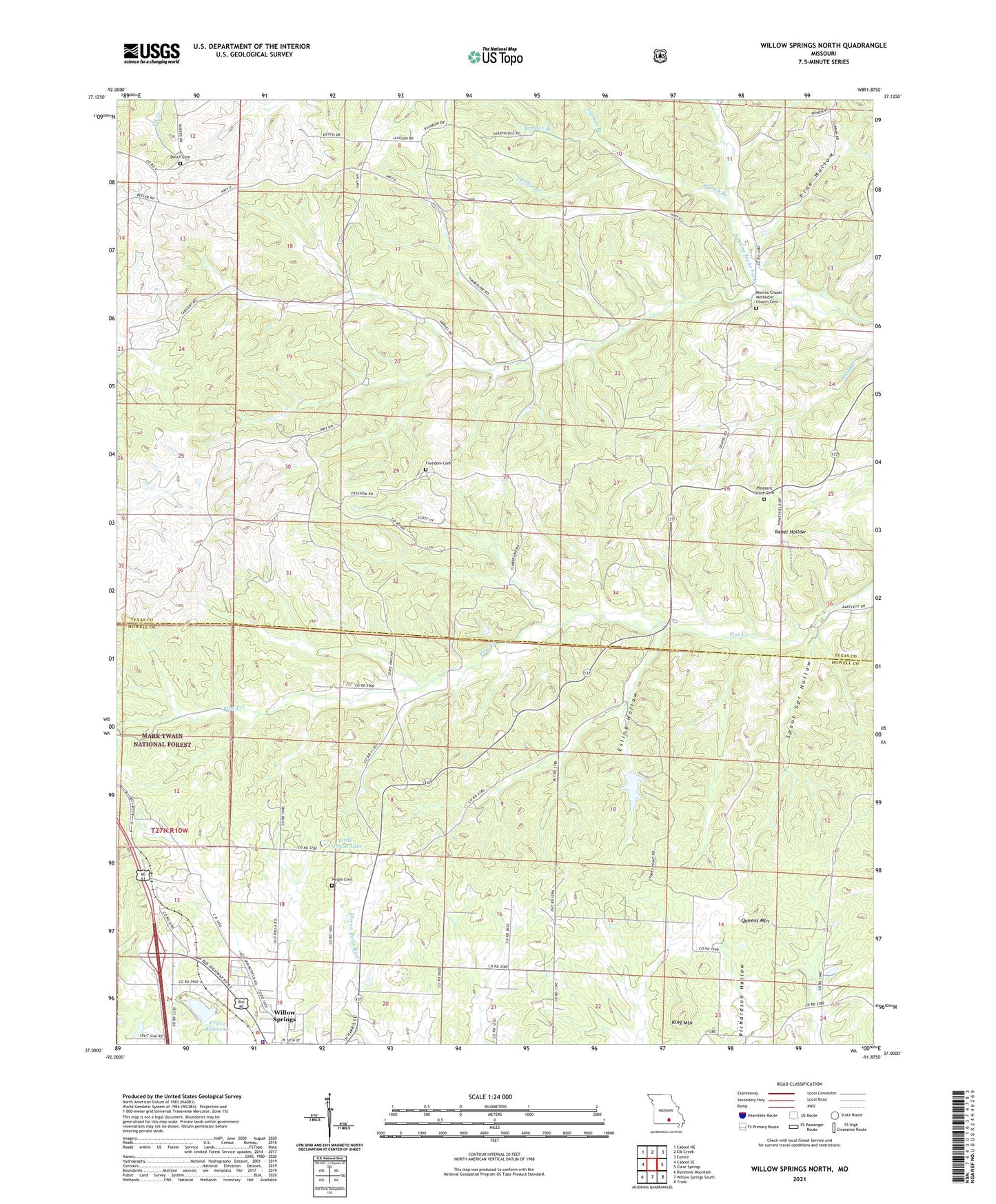
Willow Springs North Missouri US Topo Map
Couldn't load pickup availability
Also explore the Willow Springs North Forest Service Topo of this same quad for updated USFS data
2021 topographic map quadrangle Willow Springs North in the state of Missouri. Scale: 1:24000. Based on the newly updated USGS 7.5' US Topo map series, this map is in the following counties: Texas, Howell. The map contains contour data, water features, and other items you are used to seeing on USGS maps, but also has updated roads and other features. This is the next generation of topographic maps. Printed on high-quality waterproof paper with UV fade-resistant inks.
Quads adjacent to this one:
West: Cabool SE
Northwest: Cabool NE
North: Elk Creek
Northeast: Eunice
East: Clear Springs
Southeast: Trask
South: Willow Springs South
Southwest: Dyestone Mountain
This map covers the same area as the classic USGS quad with code o37091a8.
Contains the following named places: Brewer Branch, Dutch Church, Esling Hollow, Freedom Church, Freedom School, Frisco Reservoir, Holden Branch, King Mountain, King Mountain School, KSPQ-FM (West Plains), Little Cannon Lake, Missouri State Highway Patrol Troop G, Moores Chapel, New Liberty School, Niece Church, Nigman Branch, Pine Creek School, Pine Hollow, Pleasant Grove Church, Queens Mountain, Raikos Lake Dam, Spout Spr Hollow, Stony Point School, Township of Sargent, Varvel School, Varvol, Willow Springs Hunting Club Dam, Willow Springs Police Department, Willow Springs Rural Fire Protection District, Wyrick Branch