MyTopo
Cabool NE Missouri US Topo Map
Couldn't load pickup availability
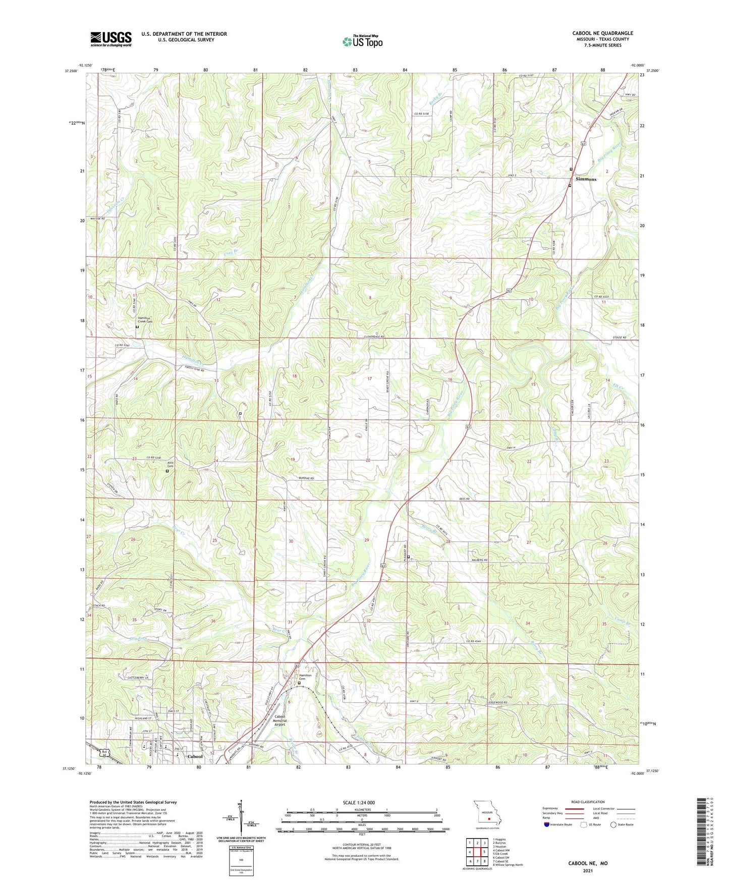
2021 topographic map quadrangle Cabool NE in the state of Missouri. Scale: 1:24000. Based on the newly updated USGS 7.5' US Topo map series, this map is in the following counties: Texas. The map contains contour data, water features, and other items you are used to seeing on USGS maps, but also has updated roads and other features. This is the next generation of topographic maps. Printed on high-quality waterproof paper with UV fade-resistant inks.
Quads adjacent to this one:
West: Cabool NW
Northwest: Huggins
North: Bucyrus
Northeast: Houston
East: Elk Creek
Southeast: Willow Springs North
South: Cabool SE
Southwest: Cabool SW
This map covers the same area as the classic USGS quad with code o37092b1.
Contains the following named places: Altis Cemetery, Bear Creek, Beeler Branch, Berry Branch, Cabool Memorial Airport, Camp Branch, City of Cabool, Crag Branch, David, David Post Office, Dry Fork, Elk Creek, Freely Give School, Hamilton Cemetery, Hamilton Creek Church, Hurst, Jarrett - Hamilton Creek Cemetery, Oak Grove School, Pleasant Grove Church, Pleasant Grove School, Potter Creek, Providence Church, Shady Grove School, Simmons, Simmons Ford Public Access, Simmons School, ZIP Code: 65689