MyTopo
Grandin SW Missouri US Topo Map
Couldn't load pickup availability
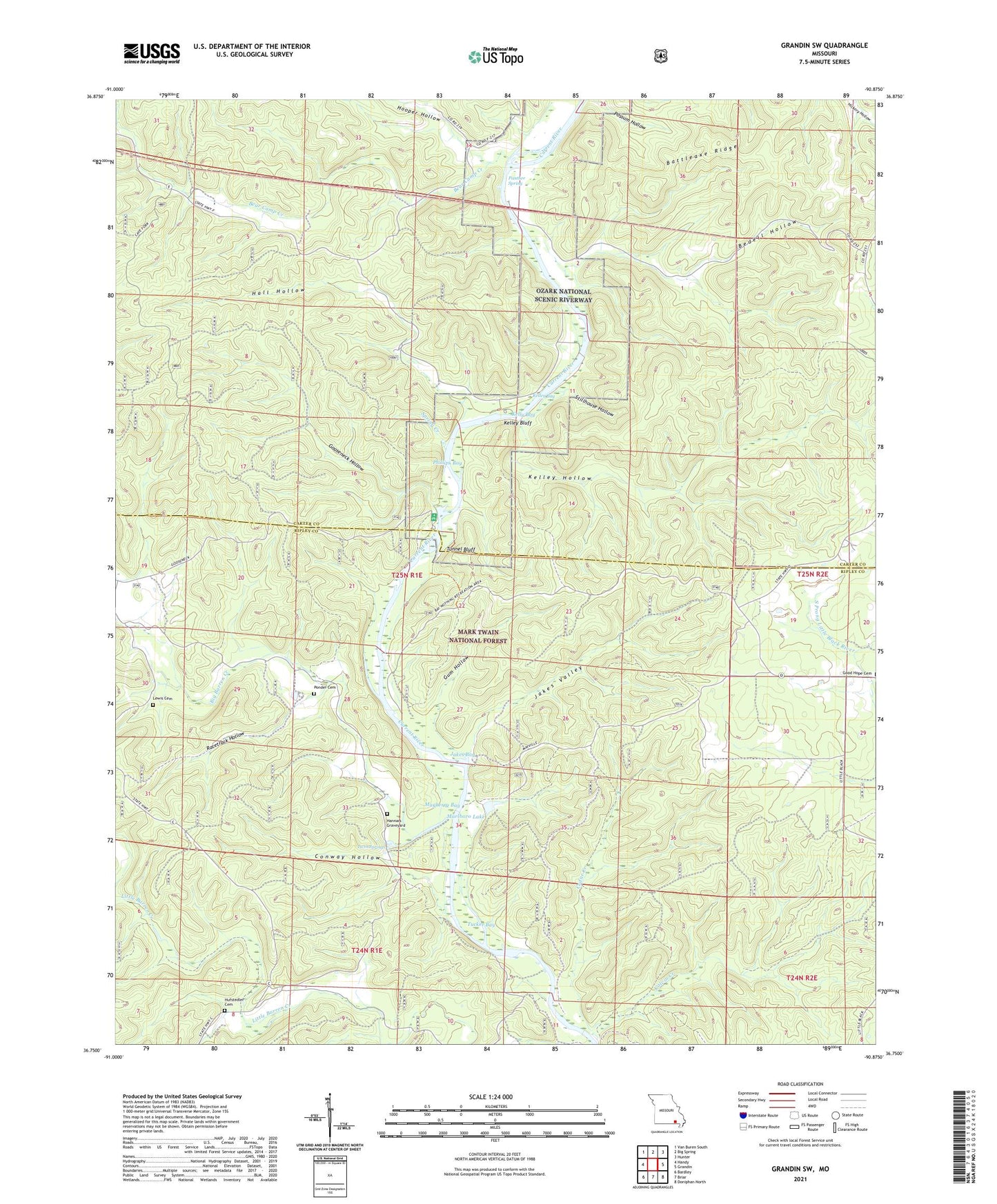
2021 topographic map quadrangle Grandin SW in the state of Missouri. Scale: 1:24000. Based on the newly updated USGS 7.5' US Topo map series, this map is in the following counties: Ripley, Carter. The map contains contour data, water features, and other items you are used to seeing on USGS maps, but also has updated roads and other features. This is the next generation of topographic maps. Printed on high-quality waterproof paper with UV fade-resistant inks.
Quads adjacent to this one:
West: Handy
Northwest: Van Buren South
North: Big Spring
Northeast: Hunter
East: Grandin
Southeast: Doniphan North
South: Briar
Southwest: Bardley
Contains the following named places: Battleaxe Ridge, Bay Nothing, Bay Nothing Boat Access, Bear Camp Creek, Bear Camp School, Bedell Hollow, Big Barren Creek, Big Barren School, Bradford Chapel, Cedar Creek, Cedar Creek Recreation Area, Colvin Bay, Colvin Creek, Conway Hollow, Crosswhite Club, Good Hope Church, Good Hope School, Gooseneck Hollow, Gooseneck River Access, Gooseneck River Campground, Gum Hollow, Gun Bay, Hall Hollow, Hannars Graveyard, Hawes Recreation Area, Hooper Hollow, Hufstedler Cemetery, Jakes Bay, Jakes Valley, Kelley Bay, Kelley Bluff, Kelley Hollow, Kelly Bay, Lewis Cemetery, Little Barren School, Mabrey Mills, Marlboro Dam, Marlboro Lake, Mayberry Bay, McDowell Place, Old Short Place, Panther Lookout Tower, Panther Spring, Phillips Bay, Pinneys Camp, Ponder Cemetery, Racetrack Hollow, Spring Creek, Stillhouse Hollow, Tucker, Tucker Bay, Tuckers Mill, Tunnel Bluff, Twin Springs